July 20, 2016
During a week long family vacation to Bend Oregon, I took a day to go for a hike in the Oregon Cascades. I used the guidebook by Scott Cook, Bend, Overall and selected hike 33 -Tenas Lakes/Scott Mountain Trail. The loop is about 8.5 miles with around 1500 feet of elevation gain.
Things that stood out to me on this hike were all the thousands of frogs at Scott Lake, walking along the edge of an old lava flow, and swimming in a tarn adjacent to Benson Lake. The views added a nice punctuation to the day. The Oregon Cascade mountains seem a little less rugged than their counterparts in the Washington Cascades, but equally as beautiful in my opinion.
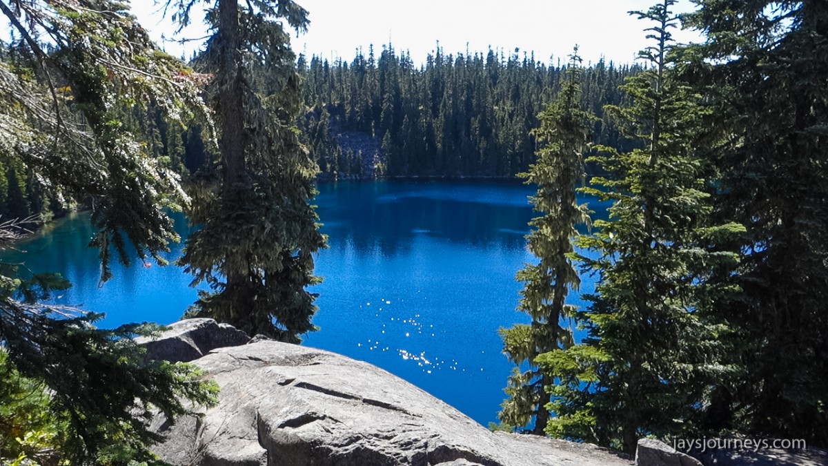
If you hike counter-clockwise as I did, you will walk by Scott Lake right off the bat.Scott Lake
Sooooo many frogs!
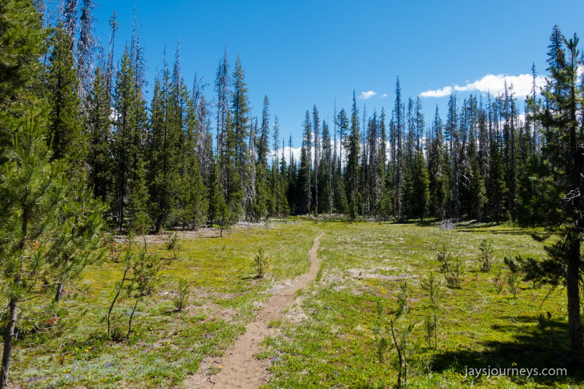
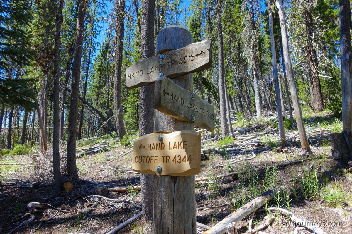
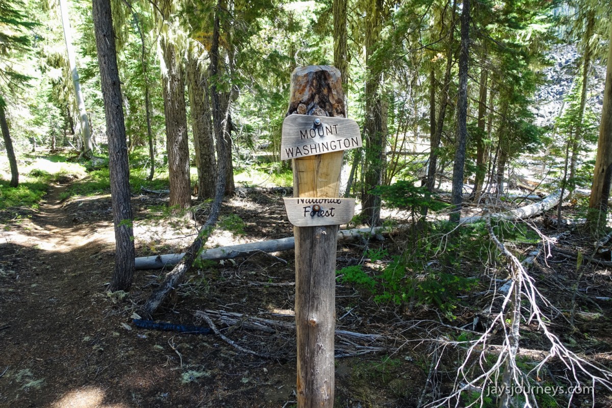
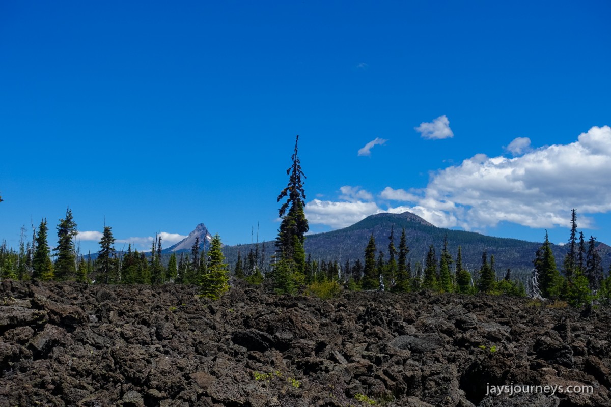
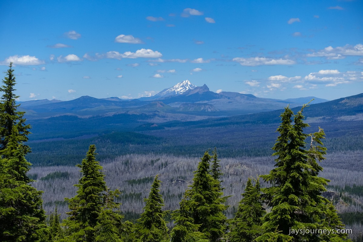
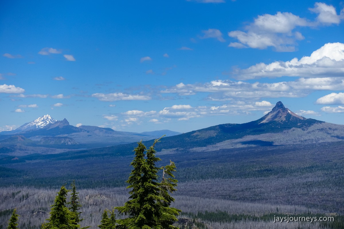
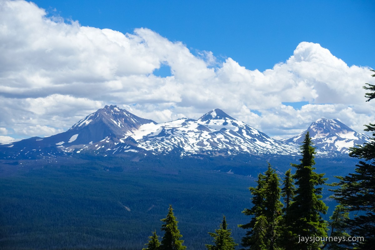
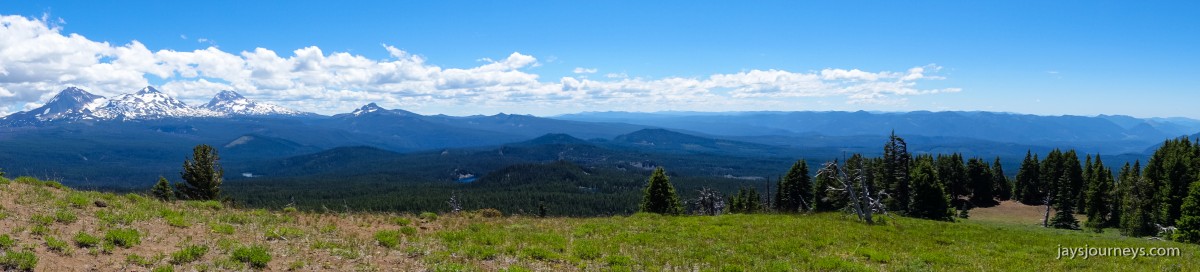
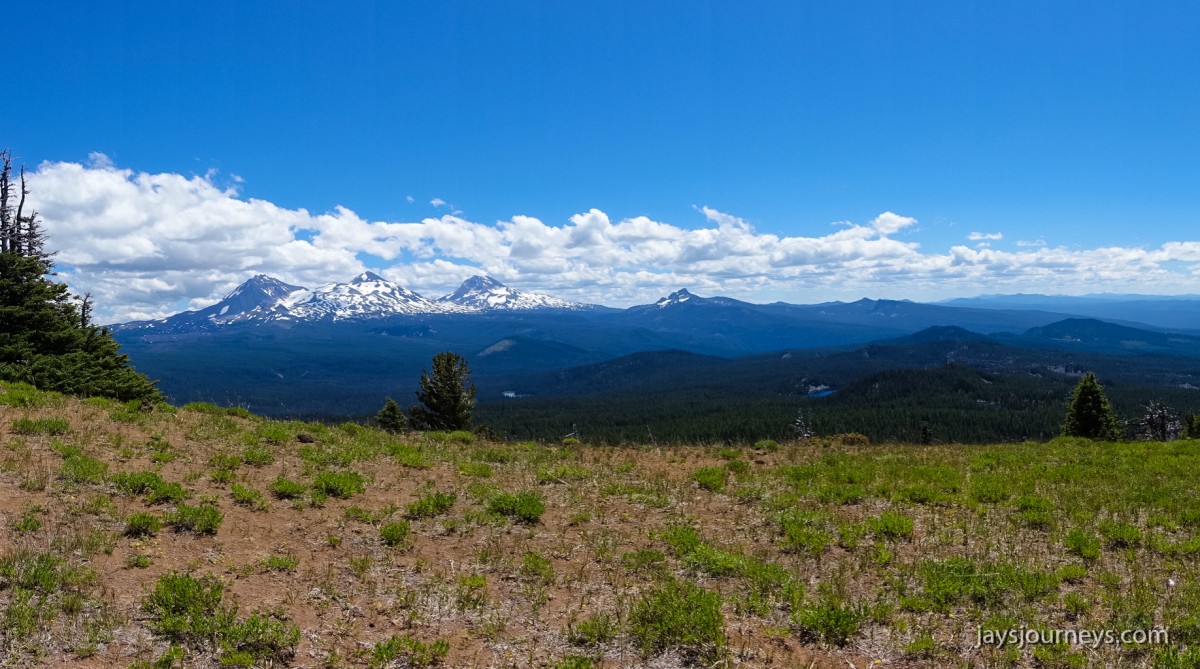
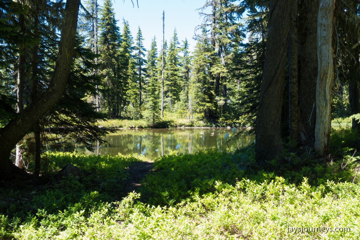
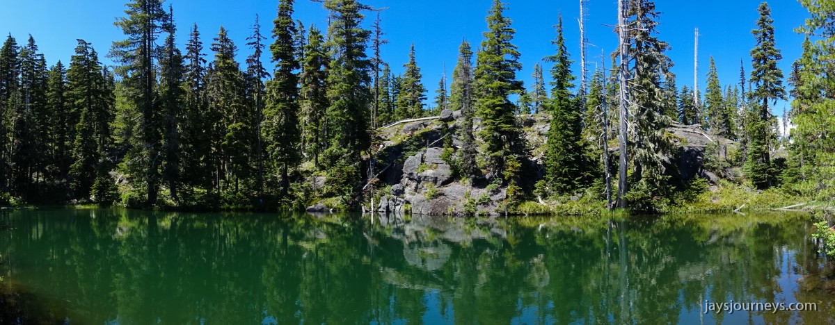
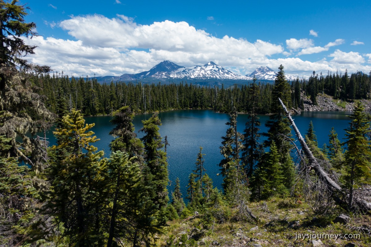
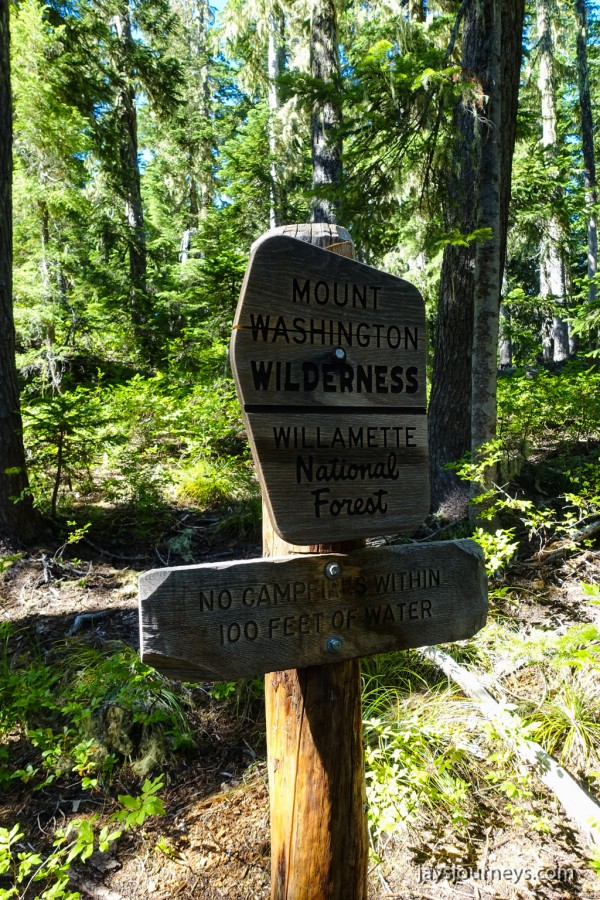
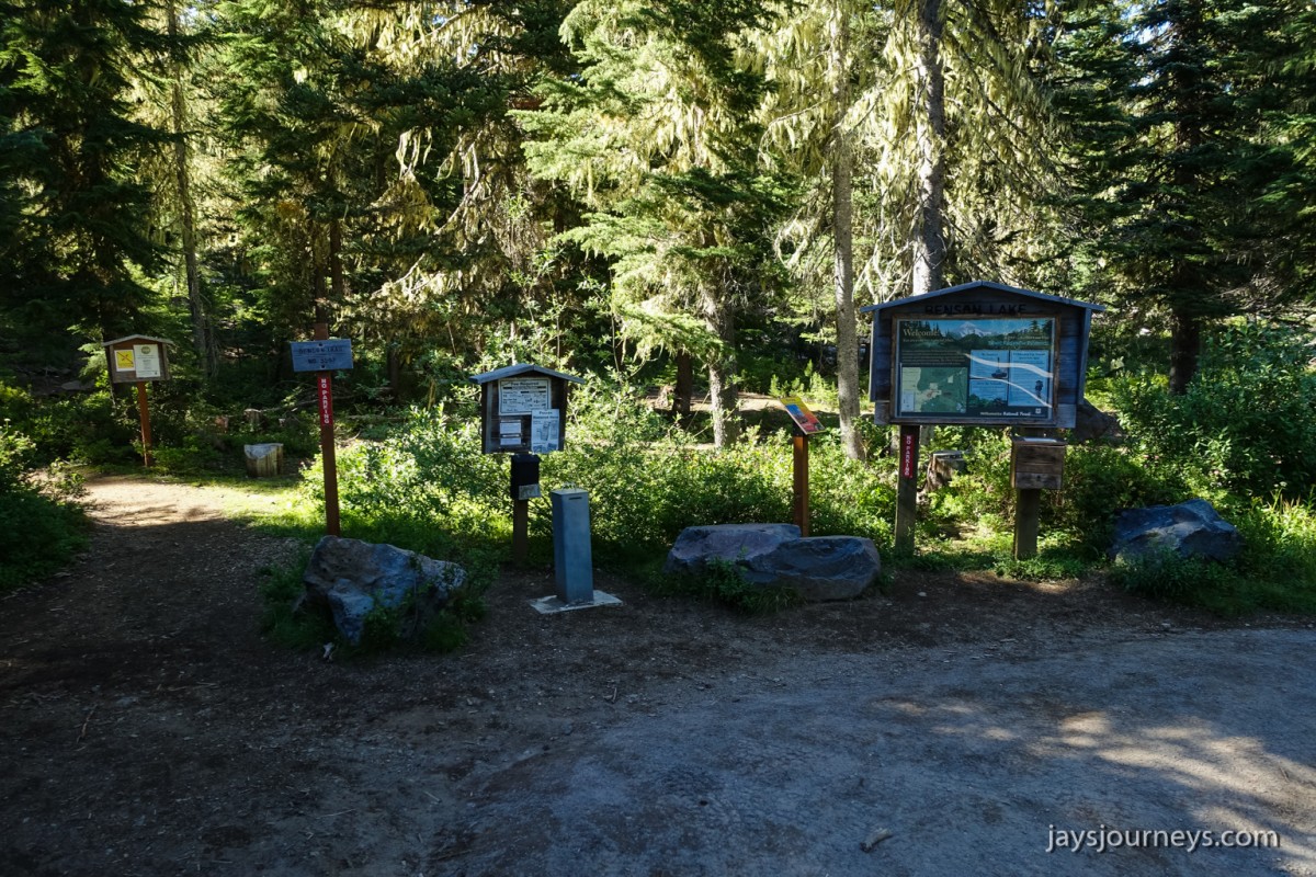
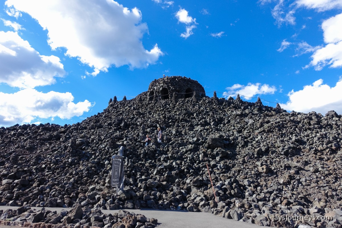
After Scott Lake, you'll walk by Hand LakeThe trail is pretty gentile for the first 2 or 3 miles.The lupine was very nice.A Hand-y sign. Ba Dum Tsss!Entering the Mt Washington WildernessViews of Mt Washington (left) and the Belknap Crater (right) as you walk alongside the old lava flow.After hiking north for about 3 miles you'll come to the Scotty Way trail. On the Scotty Way trail you'll start hiking west and you'll also start climbing in elevation as you make your way up Scott Mt.Hiking the Scotty Way TrailView of Three Fingered Jack and Mt JeffersonMt Washington (right) and Three Fingered Jack and Mt Jefferson (left)Three Sisters Mts.I believe this is a Calochortus subalpinus or Subalpine Mariposa Lily (Mountain Cat's Ear) but I could be wrong. Its not the best photo for identification. Leave me a comment if you think it's something else.Scott Mt Summit PanoramaView from Scott Mt summit.One of the Tenas Lakes. According to the Bend, Overall guidebook and verified by looking at the map, there is a small group of lakes right here that are excellent for swimming and I assume skinny dipping as well. Scott Cook is a huge proponent of nudism I assume, since many of his books speak of good places to get naked. Not that there is anything wrong with that per se, but not something I've ever been super comfortable with. To each his own I guess. I brought swimming trunks.If you look at the map, the trail goes by Benson Lake. I noticed a side trail that I figured went around the lake so I took that. It climbed up to a bench about 50 or 60 feet above Benson Lake and there is this super nice tarn up on the bench. This is where I went for my swim. The water wasn't too cold and when I wasn't in the water I could see a great view of Benson Lake below and the Three Sisters Mts in the distance.Benson Lake and Three Sisters Mts. The tarn in the previous picture is directly behind me from this view. According to a Statesman Journal article, this is a sacred prayer site for Native Americans.A nice camp spot with a view up here on the bench above Benson Lake.A view from the other side of Benson lake from the boot path that goes around it. Of all the lakes I saw today, Benson was my favorite.Leaving the wilderness area. This sign was in a lot better shape than the other one. I don't know why the forest service in the NW doesn't adopt using metal signs like they do down in the Sierra Mts. These wooden signs while nice, deteriorate way too quickly.A final look at the trailhead before driving away.This is the Dee Wright Observatory at McKenzie Pass which is near the Benson-Hand Lakes loop. It was completed in 1935 by the Civilian Conservation Corps and named after the construction crew's foreman who died the previous year. The McKenzie highway follows an old wagon route that was cut through the lava beds in the 1860s. The Pacific Crest Trail goes right by here.