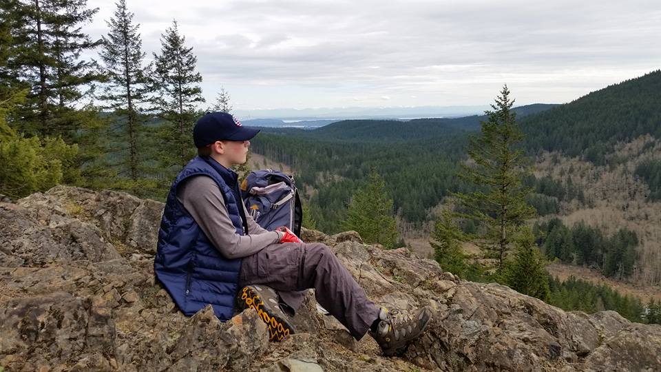
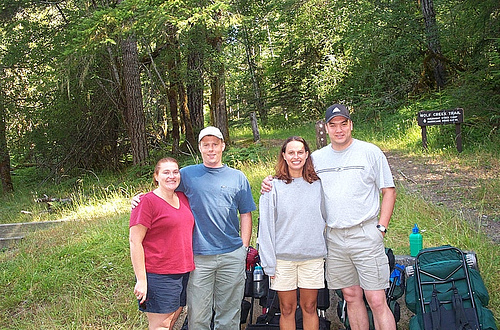
This was a quick hike with my son up School Rock on Green Mountain. We had lunch on the rock which is the local college's outdoor climbing classroom used to teach rope work, belay techniques, etc. One of the main trails up Green Mt. - the Gold Creek Trail, is closed up by the summit due to logging activities. I wanted to see how hard it would be to get to the summit from School Rock. It's a little bit of a bushwhack. The route from School Rock starts as a trail but soon deteriorates. I made a map below that shows our tracks.
After we hit the summit, we took the detour route to get back to the trailhead which goes down the former GM-17 and GM-6 roads which are now called the Davis Trail, named after equestrian Jim Davis. The story I heard is Jim supposedly fought to have culverts and bridges put back into the old GM-6 Rd that the DNR took out, and convert it into a trail. Warning: Rant below. Apologies in advance but it really irritates me the way DNR operates this area.
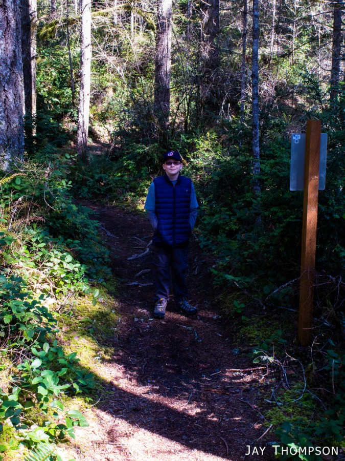
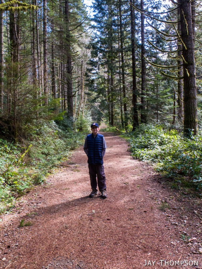
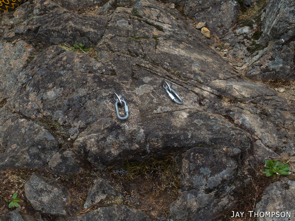
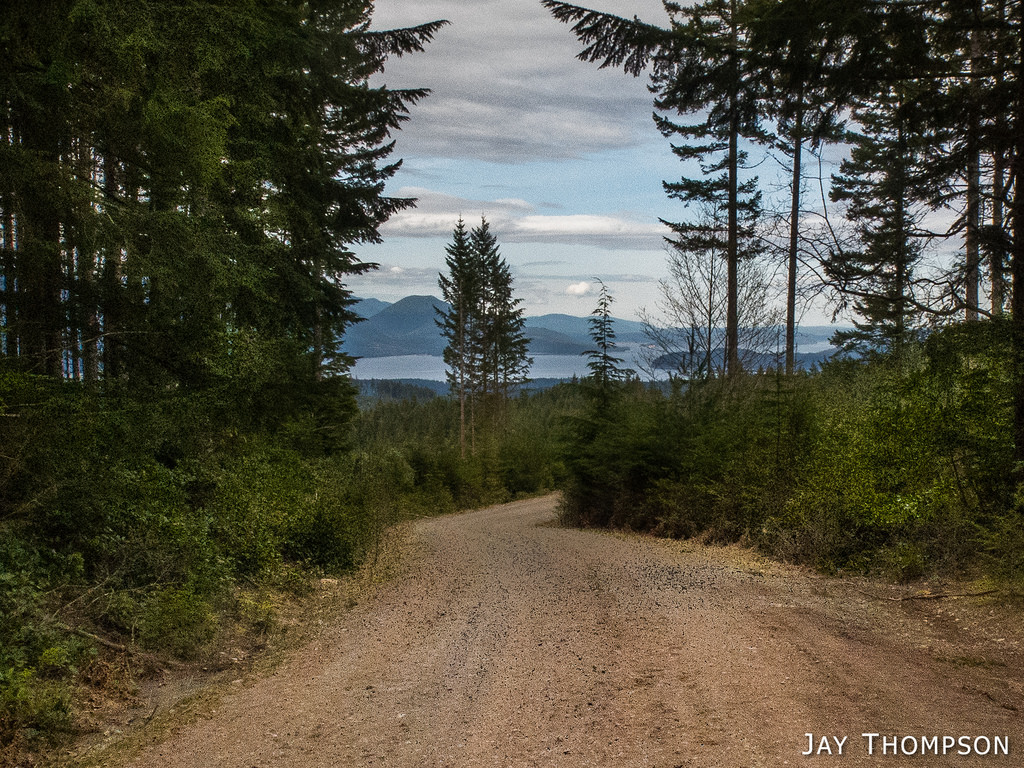
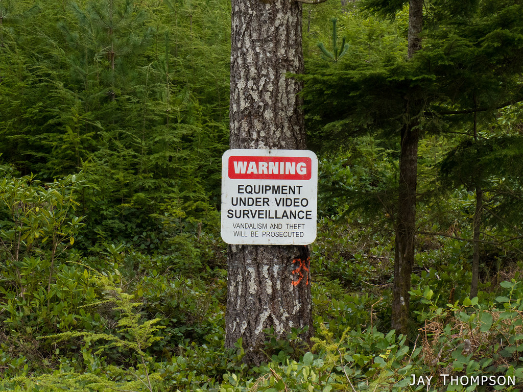
Hayden near the start of the trailDavis Trail - Formerly the GM-6 RoadDavis Trail - Formerly the GM-6 RoadStopping for a snack at School RockA few of the climbing bolts at School RockA few of the climbing bolts at School RockA few of the climbing bolts at School RockAn abandoned outdoor fireplace where our bushwhack met up with a road near the top of the mountain. A couple years back, there was an RV parked up here all the time. I believe the owner was in charge of maintaining one of the radio antennas up here. I believe this belongs to him.Green Mountain SummitThis sign is at the parking area for the summit. Is there really a camera up here? Who knows, but I bet this deters people from tearing the place up as they have in the past.So normally, a person would take this trail which is called the Vista Trail down to meet up with either the Gold Creek Trail or the Wildcat Trail. Instead, for the time being, you take the road down following the detour signs.Vista Trailhead. If you drive to this trailhead, you're not going to get much of a hike in. It's only about a tenth of a mile to the summit from here. Usually the road up to here is closed except for weekends during the summer.The summit parking area. The old parking area was the summit itself. Those days, kids used to come up here and drink beer on the weekends. The place really got trashed back then. Now-a-days, its mostly the ORV'rs that tear the place up.This is heading down the GM-1 Road following the detour route near the summit. You used to not be able to see the Hood Canal from here but recent logging opened up the view.This is the view from the new clear-cut and the new road they built and will abandon as soon as they are done logging.Why oh why would anyone vandalize logging equipment? Someone has been reading too much Abbey.This is a new bridge down on the Davis Trail (formerly the GM-6 road) . Since this used to be a road, a few years ago there was either a bridge or big culvert here that was removed. In fact, all the culverts on the former GM-6 road were removed because the geniuses with the DNR deemed the silt run-off from the road here to be too detrimental to the salmon. Clear-cutting half the mountain and building new roads? No problem! Leave an old road to just deteriorate on its own? Gasp! We can't have that!Because of my comments, I'd just like to make it clear to any of you who think I'm some whacko environmentalist hell bent on keeping all our forests from being logged or that we should never use any of our natural resources. You can go screw yourselves! I know we need resources, and I think it's great they are being used. But there are a lot of places on the Peninsula that can be logged that I don't have to look at every day. I look at it like this. There is this one, really nice area called Green and Gold mountains that are very close by our home here on the Kitsap Peninsula. Some of us would like to use this area for recreation. Half of it is watershed. Can't go there, oh no. But they have sold timber in there too. So how does that work? The other half of this nice area is plagued by ORVr's. OK, well they need a place too but have you ever been out to Tahuya to hike? I dare say that even Mountain Biking out there is out of the question because it is so torn up from the ORVr's. So why are they allowed on Green Mountain at all when they have all of Tahuya to terrorize? But I digress and am talking in circles here. My question is, why the F%#$ did the DNR tear all the culverts out of this perfectly good old road just to turn around a year later to put a bunch of them back in and to install these bridges? They can't afford to not sell off half of the trees on the mountain, but the trails that you enjoy and PAY TO HIKE WITH YOUR DISCOVERY PASS DOLLARS are closed to you. But, you still need a pass to park at the trailhead. If the DNR has to sell off a bunch of trees to pay for umm, whatever it is the DNR needs money for, you shouldn't have to pay to hike through the clear-cuts they create to make money paying for whatever else it is they use the money on (hint, its not used on building more trails, that's too expensive). Suckers. End of rant.Some nice skunk cabbage starting to come up in one of the silt run off drainage ditches.More skunk cabbageThese detour signs mark the route along the new Davis Trail. Thank you Mr Davis for putting in the hard work of getting this gem of Green Mountain turned into an established route. Don't be surprised if it gets converted back into a road when they realize closing it was a mistake and is the only way to get to the timber they want to harvest.The route we took.
See my Green Mountain Map page for more info about trails, roads and routes around the Green Mountain area of the Kitsap Peninsula.
You are 100% about the name of the Davis trail! Jim fought tooth and nail for that to be restored and Back country Horsemen Olympic chapter members did the culvert replacement and built those bridges!
Jay, the trails in this area are being used more. There are even some additional good trails I don’t see on any maps. By the way, the mountain bike trail sites have great interactive maps that are much more accurate than the old one made by Frank Chapin that the class used. I don’t believe the class has used this area for either navigation or rock climbing for quite a few years. I used to enjoy taking the class out on the navigation lesson down from the second summit, but that was ages ago.
Thanks Jim. It’s been a while since I’ve been up there.