Marmot Pass and Mt Buckhorn

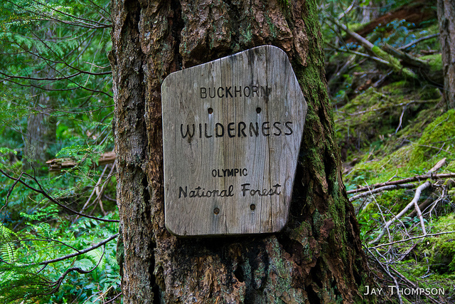
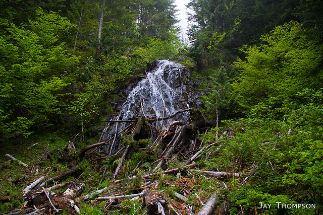
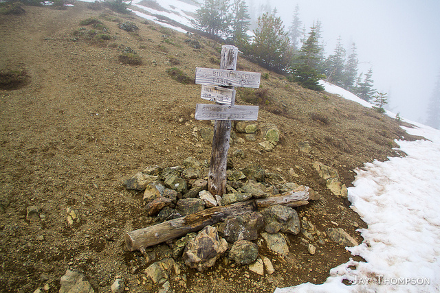
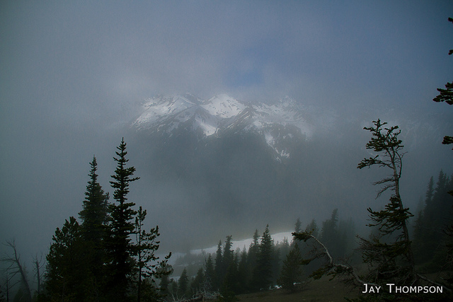
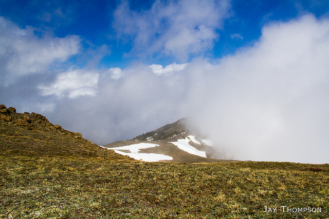
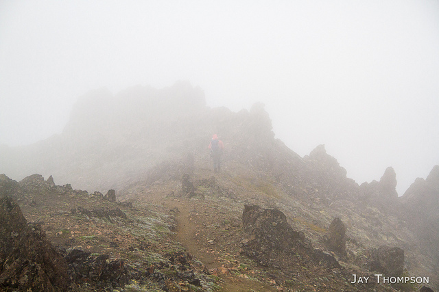
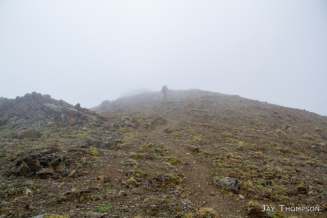
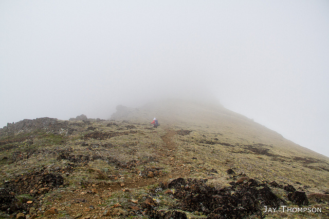
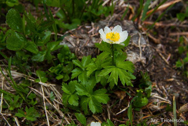
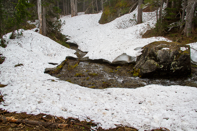
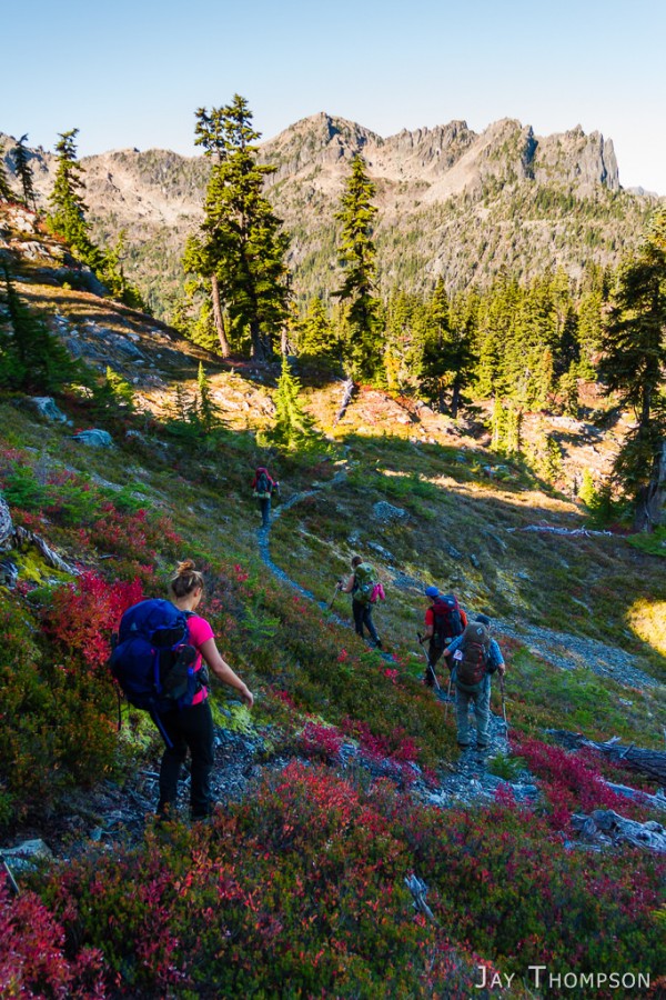
Took a hike up to Marmot Pass and up to Mt Buckhorn with my friend Cheryl. We made quick time to the pass and feeling strong we continued on the final 900 feet of elevation to the top of the mountain. The forecast said that this was the better of the two days and called for sun but we barely saw any rays all day. It didn't rain, but we got damp from hiking through the heavy mist of the clouds. Other than the lack of any nice views, it was a pretty good day with about 14 miles and 4400 feet or so of elevation.
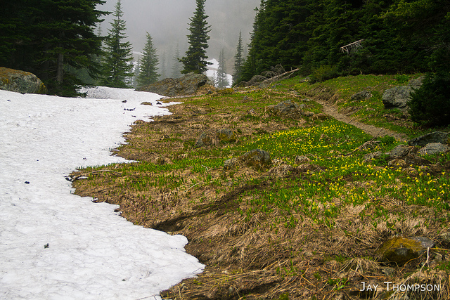
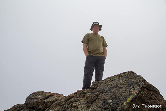
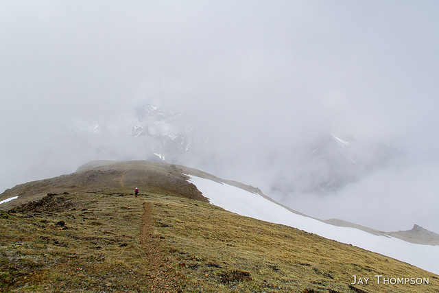
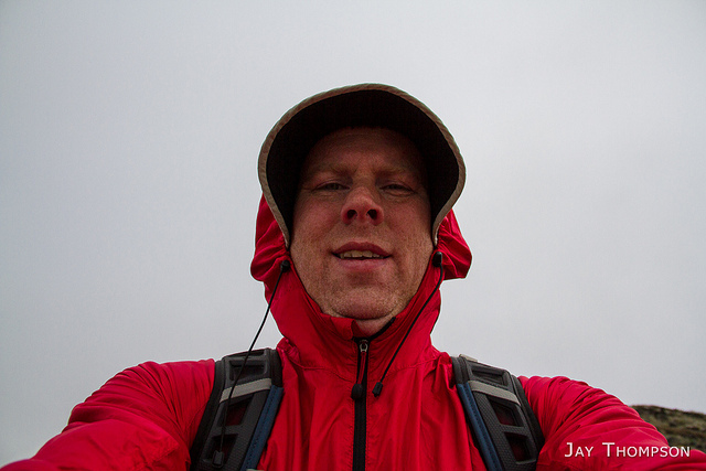
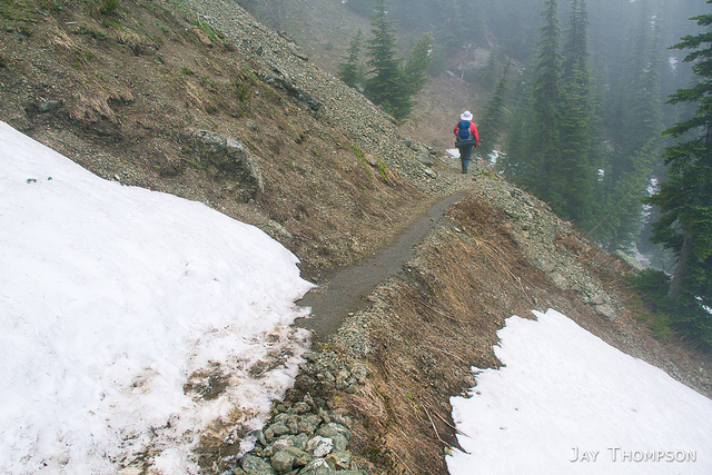
Possibly my most visited area of the Olympics since it is usually the first to melt out.
Waterfall along the Upper Big Quilcene Trail leading up to Marmot Pass.
Melting snow and Glacier Lilies above Camp Mystery
Marmot Pass. Usually an incredible view across the Dungeness River Valley from here, but not today.
This was about all we could see.
And this.
Looking North from the shoulder of Buckhorn toward the Tubal Cain trail.
Summit shot. Can you believe there was a couple with a tent up here? Couldn't have been too comfortable, its really rocky. Their tent was just below this rocky summit I'm standing on.
This was typical of the top of Buckhorn. Quite dreary.
This was my fisrt time up Buckhorn. The user trail up to the top is quite easy to follow and only really steep in a couple spots.
Surprisingly there was almost zero snow on the trail between Marmot Pass and the top of Buckhorn.
You can almost imagine the view. Almost.
On our way back down, It got a litle windy on the Buckhorn ridgeline. Had to batten down the hatches. Luckily no one could see how dorky I looked. I post this image for your amusement, LOL.
Time to get serious.
Finally, a peek-a-boo view across the valley.
Back down past the worst of the snow just above Camp Mystery.
I thought this was a Western Pasquflower but it turns out that it's a Trollius laxus, or American Globeflower.
Camp Mystery melting out.

Panorama from the Buckhorn ridgeline. This was the best view all day and it was fleeting. I only had a about 30 seconds to get the series of shots used to put this panorma together with before the clouds obscured the view. This is five images stitched together. You can see Cheryl hiking in the distance in the left side of the image.

Marmot-Pass.gpx

Print Friendly, PDF & Email

3 thoughts on “Marmot Pass and Mt Buckhorn

Leave a Reply

Your email address will not be published. Required fields are marked *

Click here to Subscribe

Thanks for taking an interest in following me on my adventures. Enter your email address below and click the sign me up button. You should receive a confirmation email momentarily.