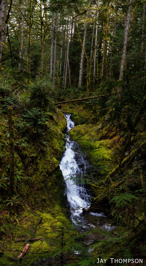
I took a quick hike up the GM-1 Road on Green Mountain to see if I could find Tin Mine Falls. My friend Micah Kipple has recently made these falls somewhat locally famous through his Kitsap Waterfall Survey. The falls are really large - or should I say tall? I think these are probably the tallest falls in all of the Kitsap Peninsula. They are definitely worthy of a view if you are up for the journey. Micah estimates to falls to be 80 feet high. While its not too far of a hike to get to the falls (only about 2 miles each way if coming from the Gold Creek Road) there is no trail the last couple hundred yards to the falls, and there is no view point. I can envision the day that a hiking trail can be built to an overlook of the falls. The falls really are one of the best features of Green Mountain and I can imagine as many people - if not more - would come here for a day hike as they currently do to the summit.
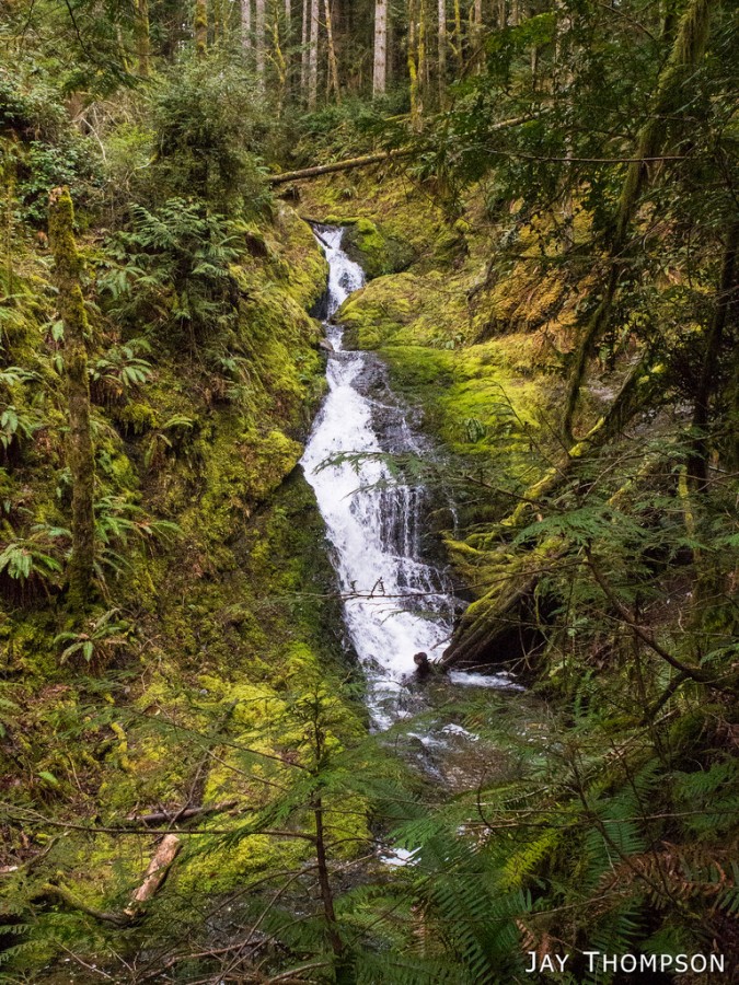


Directions: See Warning below. The falls can be found by going up the GM-1 road from Gold Creek Road. This is the main road that people can drive up to access the summit when the gate is open. I just parked at the bottom and walked up. Just as you start up the second big hill on the way up, there is a side road to the left. Follow this road down a ways and be on the lookout for a trail that goes off to the left. You'll have to keep your eye out for it as it's easy to miss. If you do miss the trail, you'll come to a gate across the road that says private property. You've gone too far, turn around and go back until you find the trail. When you find it, walk down the trail until you come to a very eroded part of the trail that goes down to the creek. Don't go down to the creek, instead, you'll turn to the left and bushwhack down hill for a ways. you should hear the falls off to your right. I went down to where another small stream flows down into Tin Mine Creek and then bushwhacked down the embankment a bit in order to catch site of the falls. WARNING: The Embankment is steep and there is a lot of down trees and stuff in the way. Only go here if you are comfortable with off trail travel and let someone know exactly where you are going. I suggest going with a group - just in case.
The elevation profile on this map is in reverse and should be viewed as coming from the falls going back to the Gold Creek Road.

January 16, 2021
We hiked up to the falls today and they were flowing at a very good rate compared to the last time we were up there. Saturday, but still I was surprised at the number of lay people we saw on GM-1. The “trail” along side the creek to the falls was in reasonable shape.
We are hiking to the falls again tomorrow to see if there is a good flow after our recent heavy rains.
thanks again for your great directions.
Jim