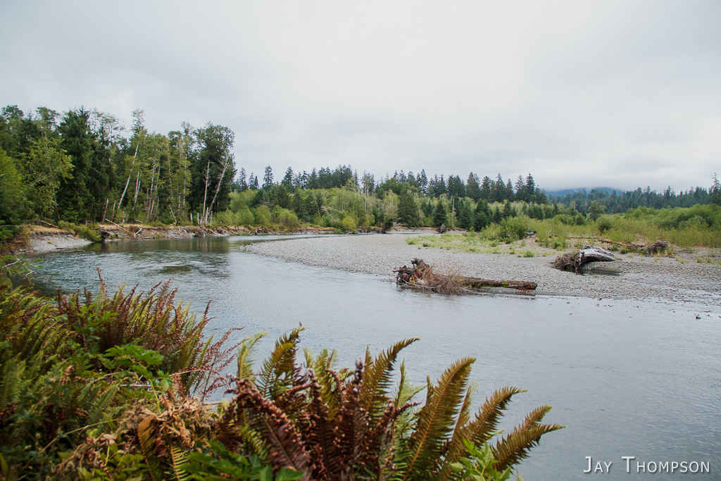
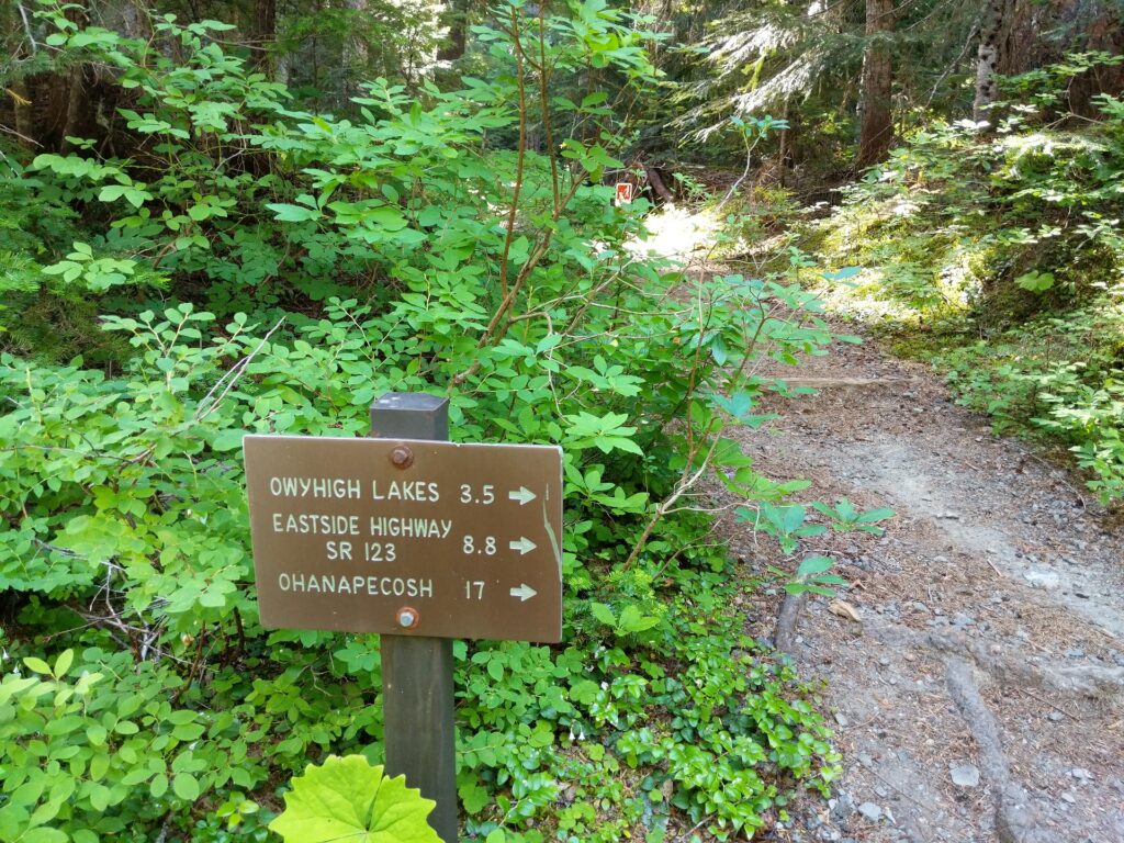
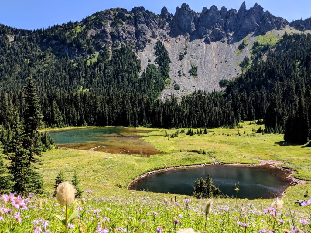
Stood up on the Owyhigh Lakes Trail and a little about the passing of my friend Karen in 2014
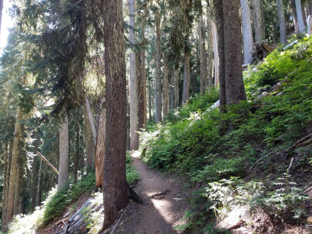
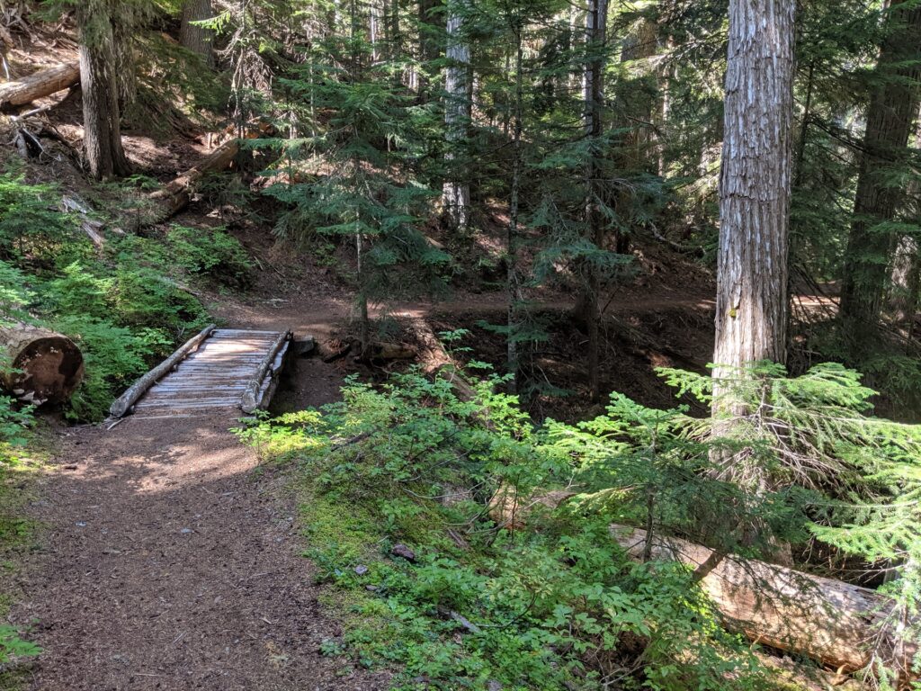
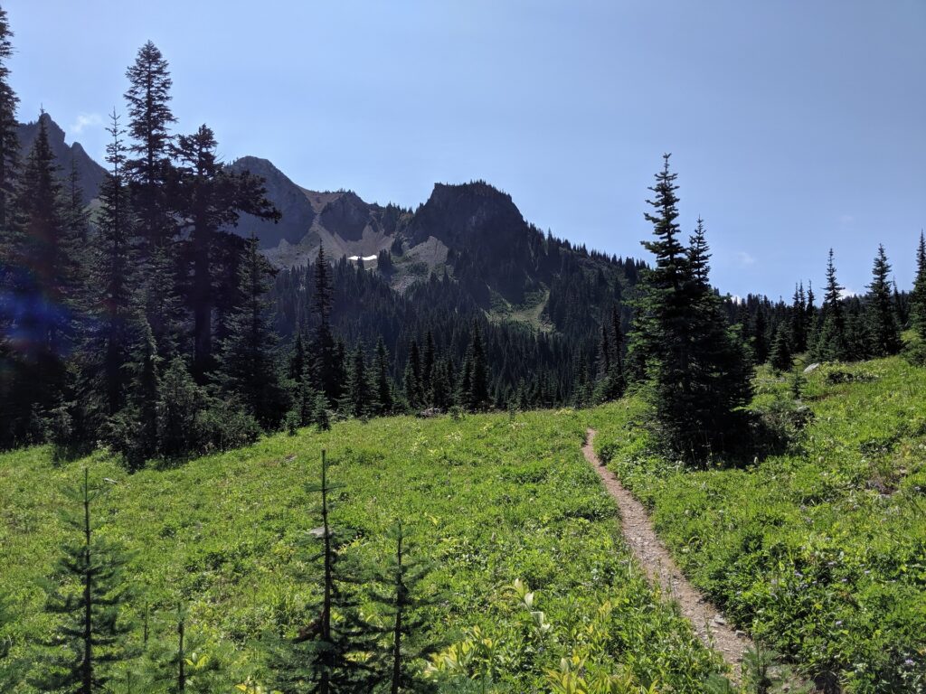
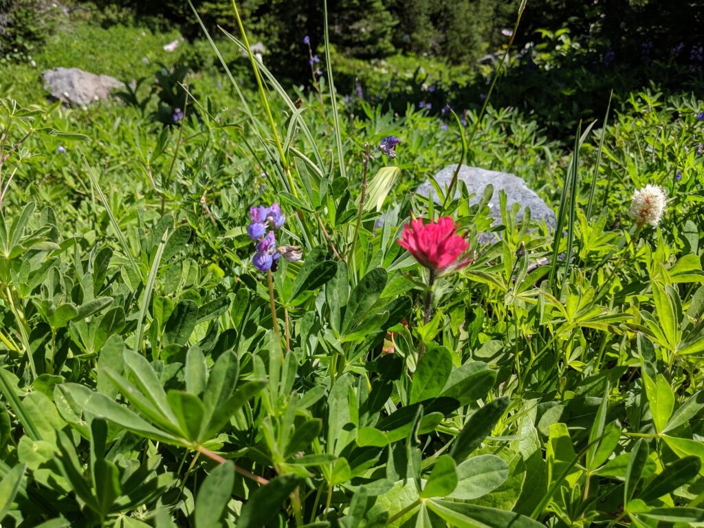
Not my favorite photographs from a hike, as I was experimenting with transitioning from using my Sony point and shoot, to shooting exclusively with my Pixel phone. Despite having taken the day off to do this hike, my hiking partner flaked on me, thus the title.
My friend Karen passed away on this trail in 2014. The news says she was possibly lost and died of hypothermia with heart disease as a secondary cause of death. I have a hunch she was trying to get up to Tamanos Mt. but that's just speculation on my part. I'm really not totally sure about all the details, so I won't repeat what I'm unsure of. I will leave this link however, if you're curious.
I met Karen when I booked her to speak at a Peninsula Wilderness Club function. I remember she was nervous since she hadn't given a presentation in quite a while. She seemed slightly technologically challenged and needed help putting her presentation together. "We're both a little nervous about the presentation - back in the 1980s-1990s I frequently put on presentations and gave talks for The Mountaineers but haven't done many since. Mostly we're worried about how the Power Point will go but just speaking in front of an audience is making us a little "twitchy". That said, we are looking forward to it." (We, being both her and her boyfriend Bob.)
Through the back and forth emails I had with her, I got to know her a little. She had lots of neat stories. "Don't think I ever told you that my Dad worked in the shipyards during WW2 - he was a shipwright and a marine artist. You may be familiar with the old waterwheel near Union - that was built by my grandfather (Ed Dalby) - you may have driven by that in years past. Anyway, I can clearly remember reading "The Call of the Wild" by Jack London on the Kalakala on a run between Seattle and Bremerton when I was 10."
She passed away less than 2 years later and it was a shock to me as well as the rest of the PNW hiking community. She was very well known and loved. She had some favorite places that she discussed at the PWC meeting and I'll share those below.
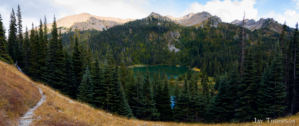
360 view
Karen Sykes' Peninsula Wilderness Club talk - Hikes list from September 2012 meeting
Nisqually Boundary Trail: 5.6 miles RT 2,685 feet.
Work in Progress, not very well known trail even for the Park People.
Mowich Lake to Howard Peak: 7 miles RT 2,200’.
Hard, but worth it. Take bug juice.
Kelly Butte Lookout: 3.7 miles RT 1,100’.
Great work, volunteers!.
Norse Peak: 9.5 miles RT 3,125 feet.
Under rated as a hike.
Noble Knob: 4.1 miles 1,425’.
Several approaches.
Christoff Lookout Site: 9.1 miles RT 3,300’.
Approach through Hancock Land, Pass required.
Sourdough Gap to Crystal Lakes: 6 miles one way 3,200’.
Summerland: 10.5 miles RT 2,750’.
Goats! 30 plus herd.
Glacier Basin, Emmons Moraine Trails 9.6 miles 2,530’.
Snowgrass Flats: 9.4 miles 1,650’.
Popular, but lots of room.
Glacier Lake: 6.5 miles 2,100’.
Geologically interesting, dam is formed from a Rock fall about 600 years ago.
Juniper Ridge and Peak: 6.3 miles 2,075’.
The roads are tough, water bars instead of culverts. 38 of them.
Greenwater and Echo Lakes: 14.1 miles 2,900’.
Long but easy as a hike or snowshoe.
Sand Lake: 7.75 miles 1,350’.
Lovely in fall, the shelter is beaten up by snow.
Deep Creek: 10.9 miles 3,750’.
Poopy spring snow, tough snowshoe or hike.
Twin Lakes, Clearwater Wilderness: 4.7 miles 1,200’.
Done as a snowshoe.
Bearhead Mountain and Summit Lake: 9.4 miles 2,800’.
Rough Road.
Melmont to Manley Moore: 10 miles 1,180’.
Ghost town of the Carbon River Very interesting history.
Carbon River Road/Trail: 11.5 miles 1,000’.
Trip from the Ranger Station to Ipsut Falls, Campground. Attempted Ranger Falls but this trip turned back by downed trees.
Carbon River Boundary Trail: 5 miles RT 3,250’.
Work in progress.
Crow Lake Way Trail: 8.5 miles RT 2,540’.
Mot uses a lot by hikers, more by horses, don’t know why.
Denman Falls: 16 miles 3,600’.
Long but easy, scenery and history both.
Bullion Basin Loop: 8.1 mile loop 2,400’.
A little confusing but you won’t get lost.
Emerald Ridge Loop: 12.4 miles loop 4,200’.
Tahoma Creek, Westside Road, fun and beautiful.
Eastside Trail: 9.6 miles one way 3,990’.
Chinook Pass to Ohanapecosh, new bridge in at Ohanapecosh Falls.
Mazama Ridge: 5.75 mile loop 1,350’.
Flowers! Amazing views.
Woods Creek Wildlife: 2.2 mile loop 100 feet.
Quiet, Lots of Indian Pipe.
Covel Creek Falls: 4.4 miles 1,350’.
Surprisingly not well known.
Knapsack Pass: 3.4 miles RT 1,200’.
Fall colors, Gentians, loop trip through Spray Park possible, route finding and year round snowfields.