October 22 2016
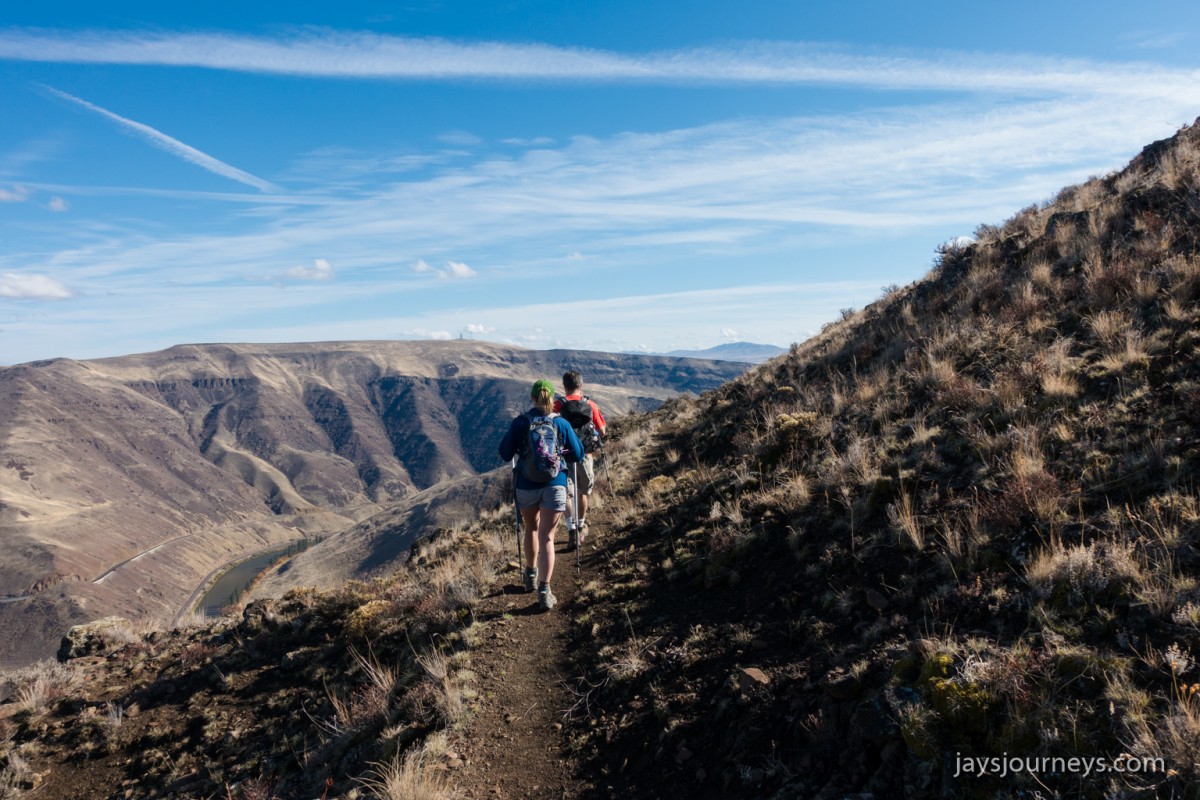
This was my first time on the Yakima Rim Skyline Trail. Not a bad way to spend a Saturday in October. It was actually warm out. The Skyline Rim Trail basically climbs up and follows along the edge of the plateau (thus the rim designation), with many views of the river below. If one wanted to, which is actually an idea I've been thinking of doing sometime, a person could park at the Buffalo Road trailhead and hike all the way over to the Umtanum Trailhead. On paper it looks like around 14 miles and 4500' of elevation. My friend Kevin has a thing he calls back pocket hikes. He has hikes planned in his mind that he keeps in his back pocket for when he has run out of other ideas for the time being. This is definitely one of those types of hikes.
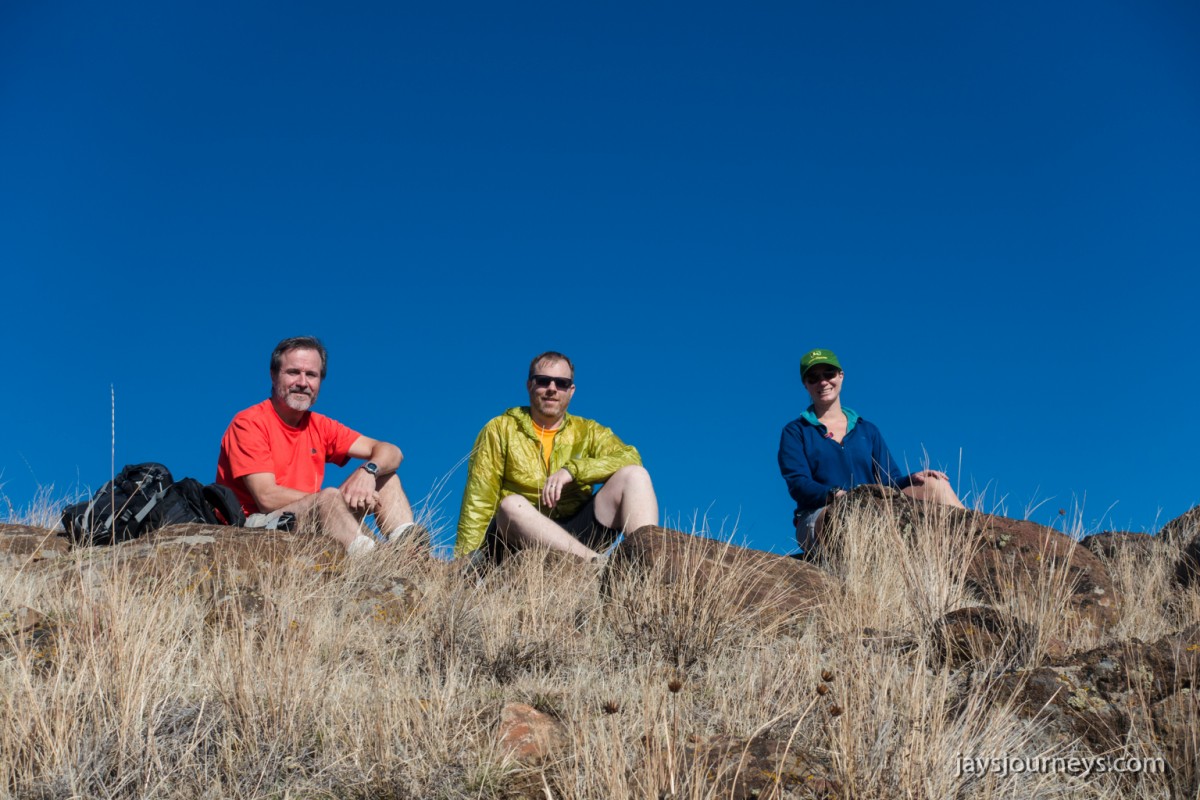
This day my friends Steve, Nancy, and Robyn joined me for the hike. Unfortunately I didn't get any pictures of Nancy this time as she held back due to some knee pain. Maybe next time Nancy!


Directions to trailhead (Stolen from the WTA's website): Take I-90 to exit 110 for I-82. Continue on I-82 to exit 26 for Selah/Canyon Road. Make a right off road, and then turn left onto Harrison Road. Drive 1.9 miles southwest before turning right onto Wenas Road.
Continue nearly 3 miles to a Y junction near an old fire station. Continue straight ahead on Gibson Road, and 0.3 miles past getting onto Gibson Road, turn right on Buffalo Road. Here the pavement ends and the Wenas Wildlife Area begins. Follow this rough gravel and dirt road 1.5 miles to the trailhead. There are no facilities here. Park your car (ensuring to leave room for other visitors) and hike down the road onto the trail, passing an old white metal sign on your right. Discover Pass required.