August 13 2016
My friend Isaac and myself hiked the Colonel Bob Trail on a nice warm August day. I had been up to the top of Colonel Bob Peak before via the more popular Pete's Creek trail from the Humptulips drainage. The Colonel Bob Trail itself, being further to drive to, had always escaped me. The trail had been closed for several years due to a massive blow-down that took quite a while to clean up, and when it was out of reach, it became even more of a prize that I had to attain. I heard that the blow-down was so bad, the Forest Service considered abandoning the trail altogether. Luckily for us, they didn't, and allowed WTA volunteers to work on it. It was in great shape when we hiked it
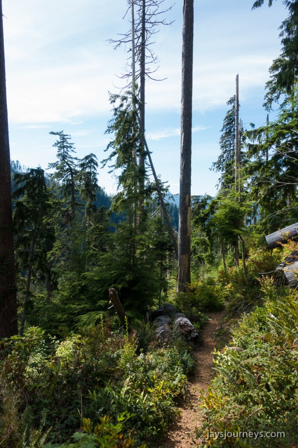
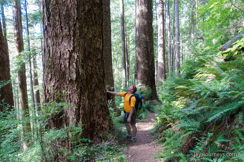
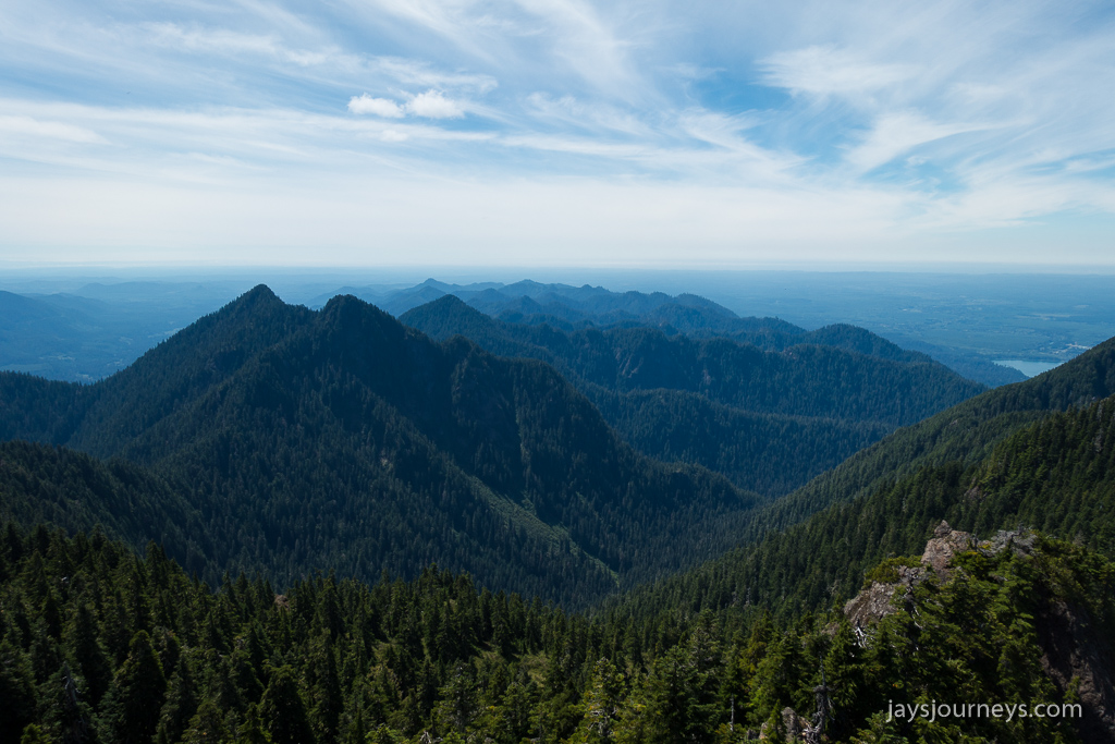
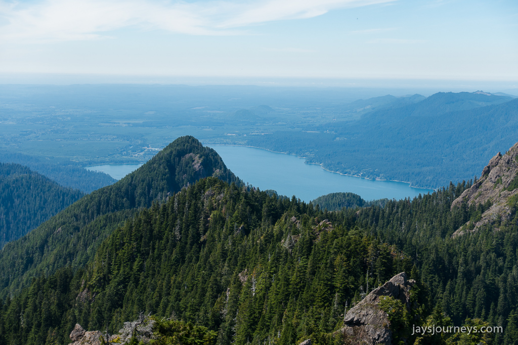
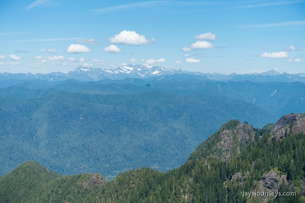
The trail is the original route to the top of Bob, and while it has considerably more elevation gain than Pete's Creek, it is also more enjoyable - at least in my opinion. The blow-down itself now serves as a large open window through the forest with views of the climb above. The trees along the old trail are quite massive being in a rain-forest and serve as a testament to how hard the blow-down was to clean up.


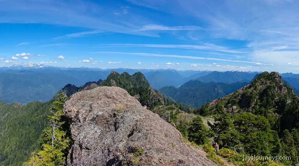
On our way down from the summit, we stopped for about 45 minutes to pick huckleberries along the ridge a mile or so from the Petes Creek Trail junction. I ended up with enough to put in my pancakes the next day. Delicious! It was pretty hot out and the biting flies were pretty unbearable along the ridge so I didn't end up with any pictures from up there.