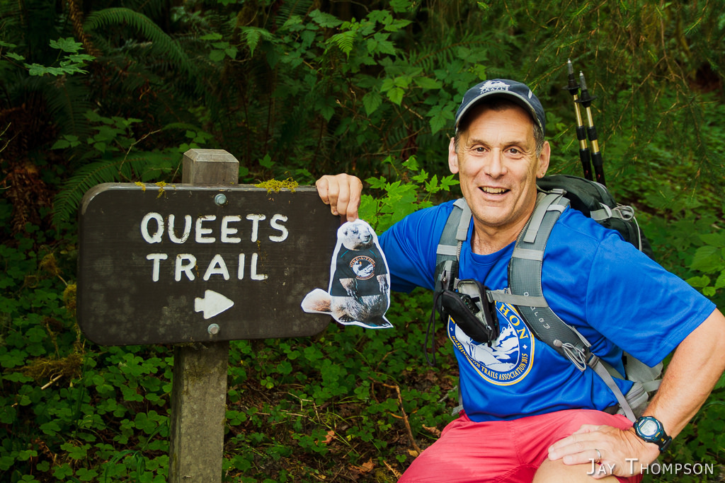
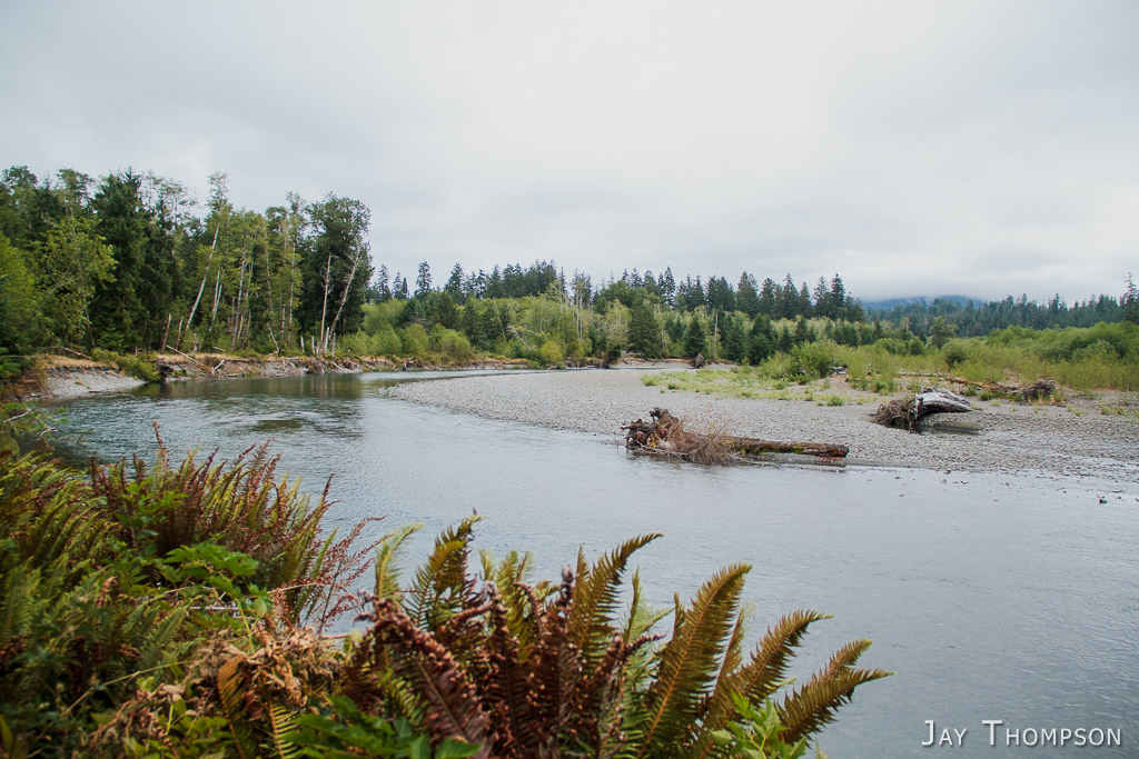
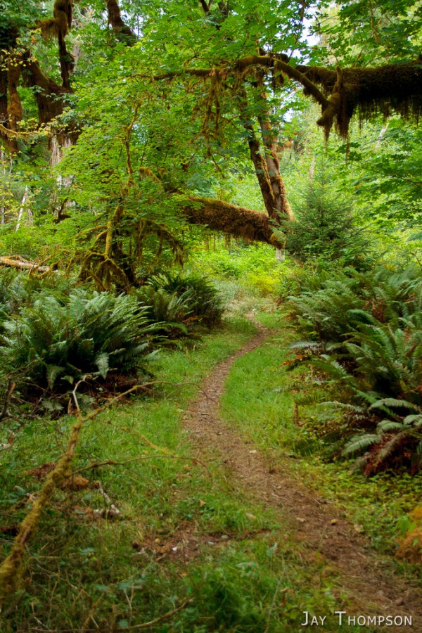
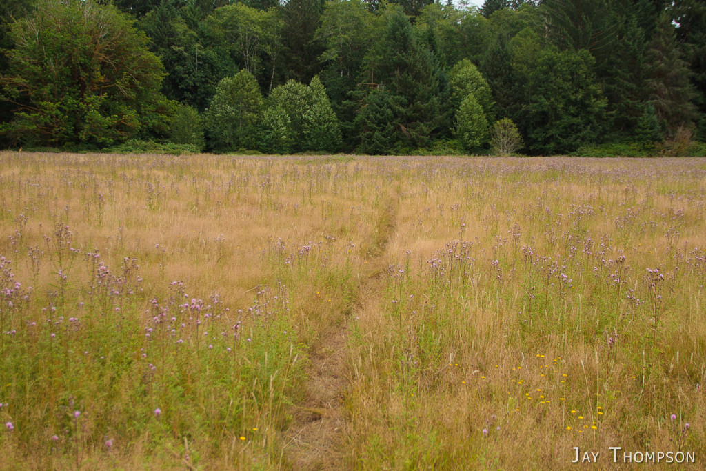
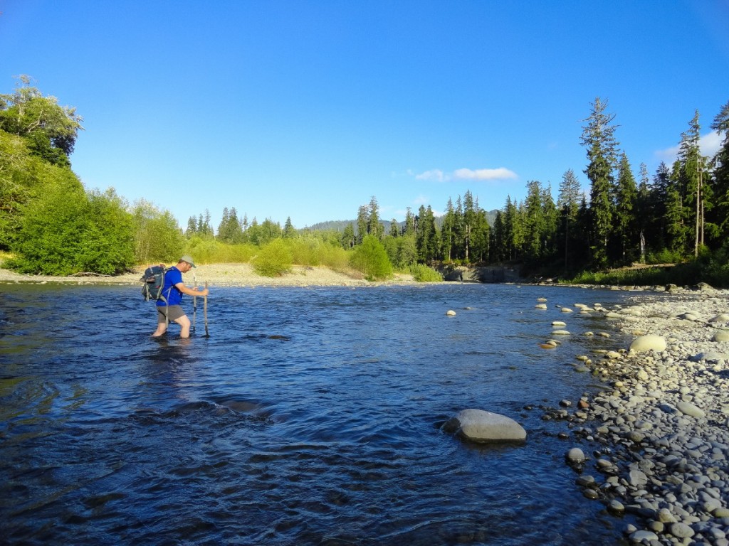
The day after our epic West Fork Humptulips hike, Craig and I headed over to the Queets River valley to see about hiking the Queets River Trail up to the old Smith place. I wasn't really sure what I was in for since I had never forded a river as large as the Queets before but it turned out to be a lot easier than I thought it would be and we ended up fording it 4 times. I admit that I was nervous crossing it the first time. As far as difficulty fording the river, it probably helped that we were in a serious drought year. The Queets can be difficult to cross if it is flowing strong. I don't have a lot to say about this hike other than the trail was in great shape and very flat. Easy miles to be had here, at least the portion we hiked. Some really nice old growth and very green and lush. It is a rain forest after all. I recorded that we did close to 15 miles, but after the messing around with the fords and exploring the Smith Place, it was probably closer to 13 or 14 miles.
Oh, almost forgot to mention the big Paradise Fire was going on further up in the valley. The Park Service had the trail closed at Bob Creek but we would only be covering about half that trail distance. We were lucky with the wind direction and had no smoke to deal with.







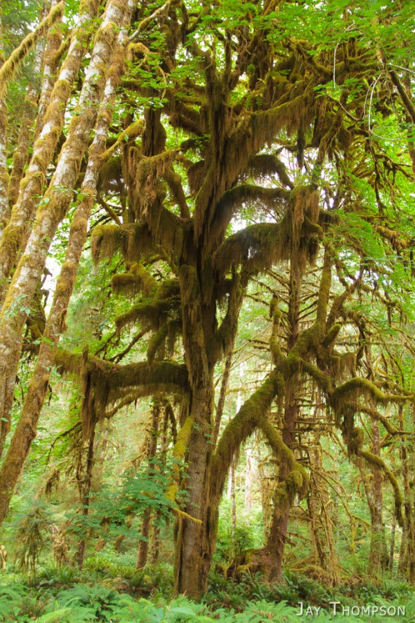


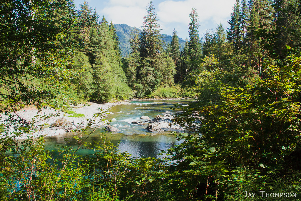


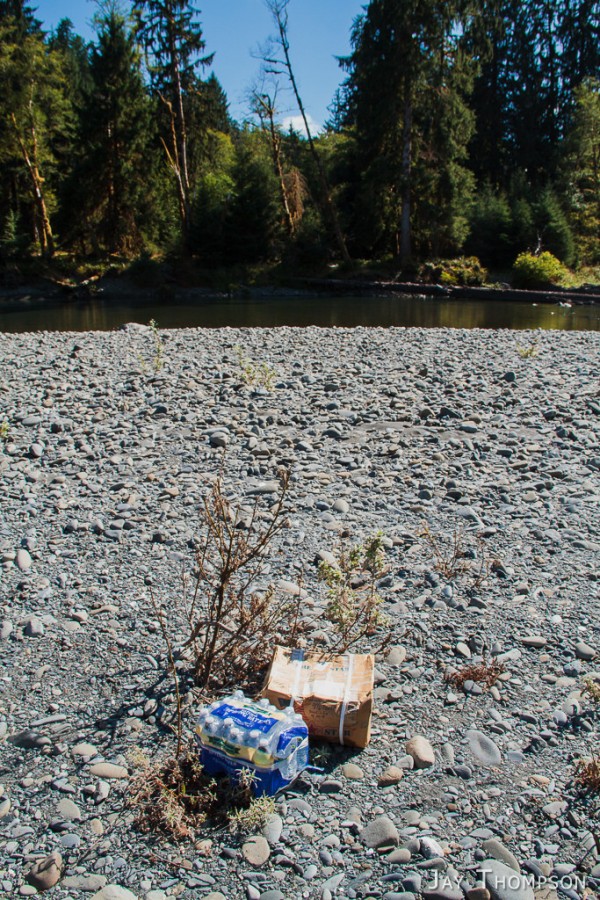
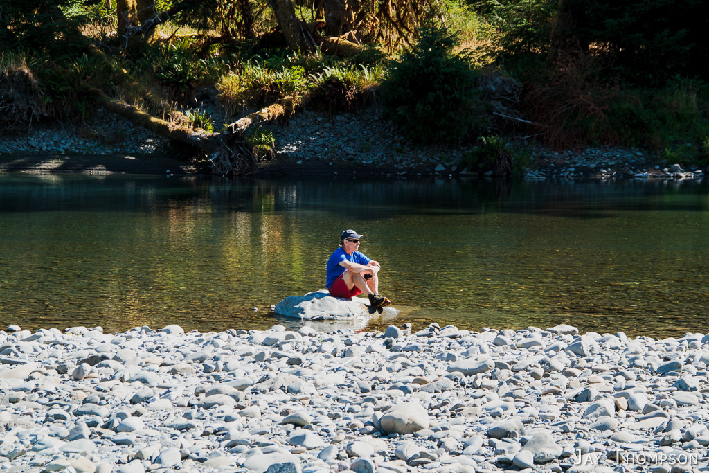




Very nice photos of the Queets River area! My grandfather, George Shaube, built the original ‘Smith’ cabin (please see http://www.windsox.us/PIONEERS/SHAUBE.html), and sold it to ‘Smith’ when the Shaube family moved to Hoquiam, WA.
Thanks for sharing. Very interesting to learn the history of this place.
Hey I have so much history there. My grandpa lived at smith’s for 20 years. I have lots of pics and history if you want. I have been going 40 years and my kids like me since 3 and 5. I have lots of stories about Andrews’ homestead as well. And his model A crossing river. Know about the Boat as well. Love to connect.
Hi Morgan. Sorry it took me so long to respond. I’m only just now seeing your message. I would love to see images and hear about the Smith and Andrews’ homesteads. It doesn’t look like I have a way to contact you. If you like, please send me an email at jaythom1@hotmail.com.
Hi Jay,
I just got back from a first trip up the Queets trail. My GPS said I went ~7½ miles up. The USGS topo shows the Smith Place and a trail over to the river ford. Careful searching in the area revealed no such trail. I was tempted to ford in the area anyway but I was by myself and frankly skeptical about finding anything (like the vacant field of the Andrews’ homestead). I wish I’d been aware of your TR beforehand! My interest is stoked mainly at the thought of what motivated people to try eking out a life in this utterly wild, remote place and how they managed as well as they did. Did you get any further details from the descendants (emails above)? The one link doesn’t work.
I did find the “largest Doug fir” at Coal Creek. There’s actually a good side trail but for some reason it is hard to locate the start of it from the main trail. The map shows it continuing up to Kloochman Rock which again, by myself, I didn’t try to suss out but I could see no continuation beyond the tree.
Hi Tom. Thanks for the comments. I went to the internet archive and found a snapsot of the page that is linked to above. (I love the interet archive for stuff like this). Here is the link. https://web.archive.org/web/20160304213238/http://www.windsox.us/PIONEERS/SHAUBE.html
Thanks Jay for the link. Interesting reading. Also a link within that mentions how many trails the Olympic NP abandoned once it took over administration of the area (1938). In the Queets area, the Kloochman Rock and Tshletshy trails are now effectively gone (the latter connected up to the Sky Divide trail at 3 Lakes). I mention this because I encountered a couple folks on the trail who asked about them and I myself could locate no past path to the ford spot nearest (presumably) the Smith Place.