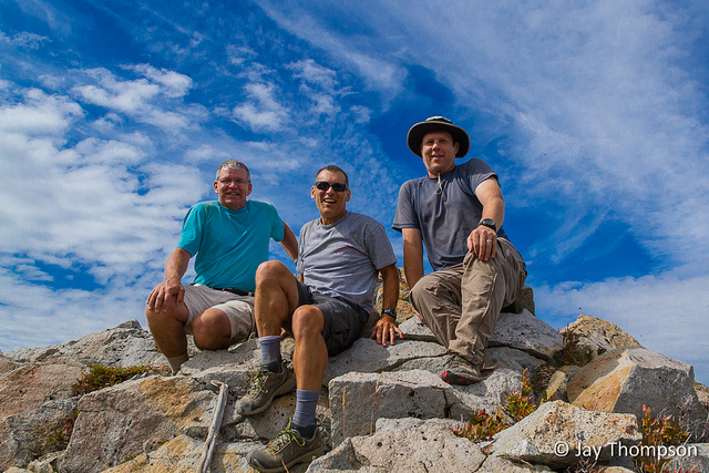
This was a last-minute hike to Sundown Lake via Wynoochee Pass that guidebook author Craig Romano invited me on. Craig wrote Day Hiking Olympic Peninsula by Mountaineers Books and he is going over some trails as additions to his 2nd edition that is due out next year or the year after. He is re-hiking most of the trails covered in the book so it can be as accurate as possible. Craig prides himself on accuracy, and that accuracy is proven by his strong work ethic.
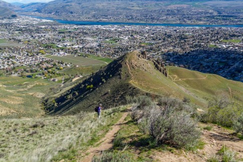
Craig had heard that the last half mile or so of the road to the trailhead was washed out. His source was correct and we ended up walking this part of the road to the trailhead. The nice part about this is that you have some open views at the start of the hike before getting on the Wynoochee Pass Trail.
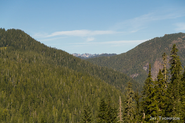
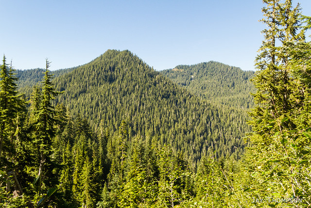
Once you are on the Wynoochee Pass Trail, after about a third of a mile or so you come to the National Park boundary. The trail is in old growth forest the whole time until shortly before you get to Wynoochee Pass where there are a few open views to the west.
Wynoochee Pass itself is pretty nice, and if it were your turn around point, you would still have had a nice hike. There are a couple small ponds or tarns at the pass that were totally unexpected. Its a very nice little area. If you do proceed to Sundown Lakes from here, be prepared for a much harder hike as the trail drops about a thousand feet into the Graves Creek drainage, just to regain that loss on the other side of the valley. Apparently from here, there is, or was, a way trail that contours around the side of the mountain and ends near the Sundown Lake trail which avoids the elevation loss and gain of the regular trail. We didn't see much of a way trail except for a couple flagging ribbons, and Craig was there to map the trail not go on some wild bushwhacking adventure. Still, if one wanted to, after looking at the map, it doesn't seem like it would be too difficult to stay at about the 3600' line of altitude and contour the mountainside to gain the Sundown Lake trail without losing and gaining all that elevation. This might be a fun adventure for the prepared party but it was not on our agenda.
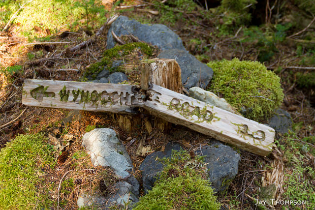
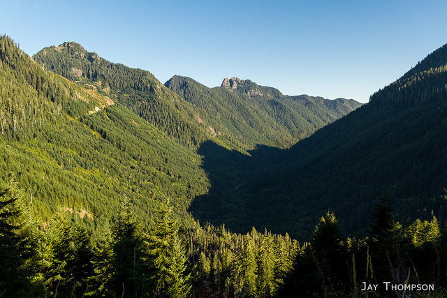
At the bottom of the Graves Creek drainage there is a junction with signs pointing the correct way. If you were to go north and follow Graves Creek out from here, you would end up at the Graves Creek ranger station after crossing the Pony Bridge about 6 miles away. Don't do that! You'll want to go uphill and to the east which is the way to Sundown Lake. If you are not immediately going uphill from the junction you are probably going the wrong way. There are signs here at the junction but every one of them had fallen off of their posts and were laying on the ground. Some of them were split in half. Just make sure you know where you are going from here. It shouldn't be a big deal to figure out.
Once you have climbed out of the Graves Creek Drainage and gained most of the elevation you previously lost, you will come to a junction with another trail. If you go right, you will end up at Sundown Pass and the South Fork Skokomish River Trail. Going left will take you to Sundown Lake and across Six Ridge if that is your goal.
Unlike Craig, I am not a guidebook author. I am not sure exactly where the Six Ridge trail starts or the SF Skokomish trail ends or if part of the trail is named Sundown Lake or Sundown Pass. Don't rely on my instructions. A good map will get you where you need to go. If you are reading this after the second edition of Day Hiking Olympic Peninsula has come out, I would suggest picking that book up as Craig will have this hike in there.
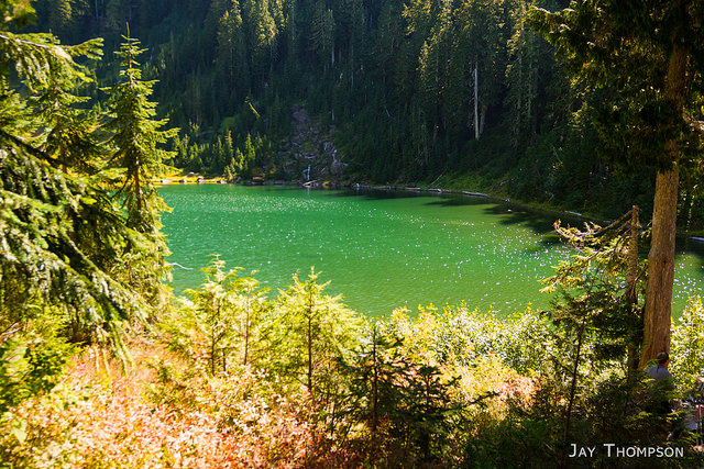
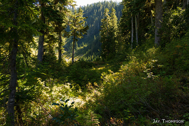
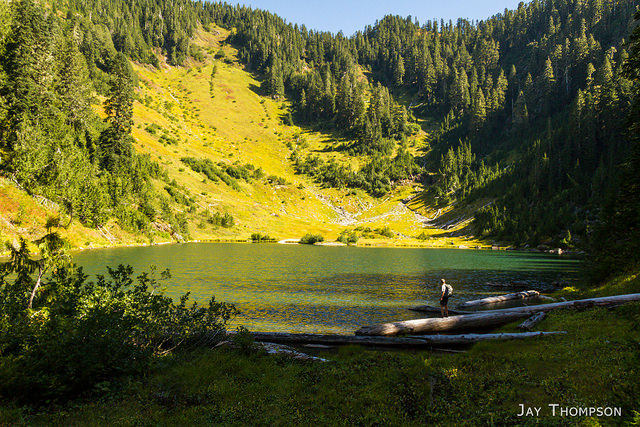
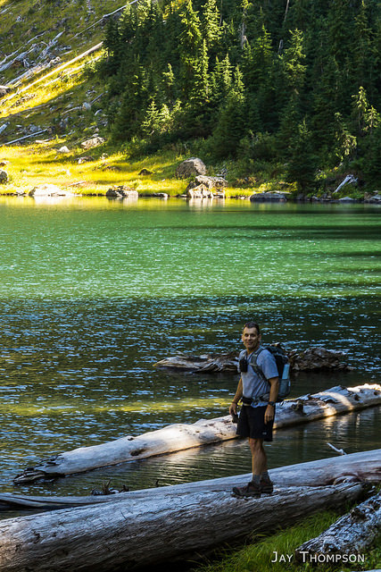
Shortly after you take the left hand trail towards Six Ridge at the last junction, you will climb a bit before entering a nice meadow. After crossing the meadow, you will crest the ridge and drop about 50 feet of elevation on the other side before shortly coming out to Sundown Lake.
We ended up spending about 45 minutes at the lake, eating lunch and exploring a bit. We both agreed that we would like to take an overnight trip across Six Ridge, possibly next year. I've heard Six Ridge is a painful up and down experience but it has always been on my radar.
Our return trip to the car was uneventful. A lot more elevation gain and loss on this hike than I first imagined, but I think this is the shortest route to get to the lake from any of the several trails that lead to it.
Have you been to Sundown Lake before? From which direction were you traveling when you first saw Sundown Lake? Tell me about it in the comment section below, I love to hear about your experiences.











Mileage and elevation represented are total out and back.


