Spray Park – Seattle Park – Carbon River Loop

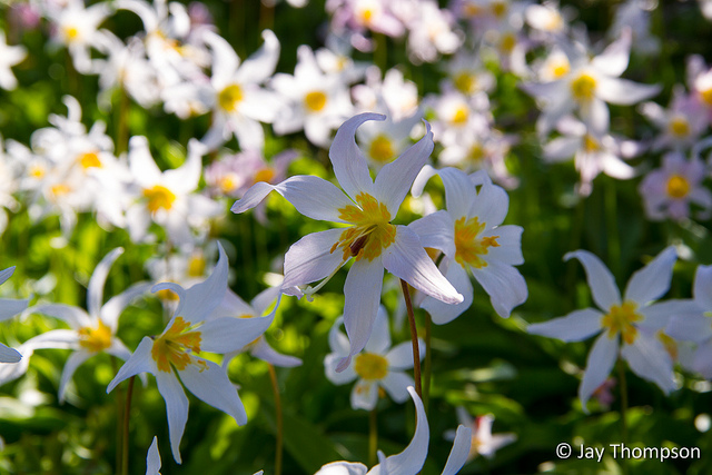
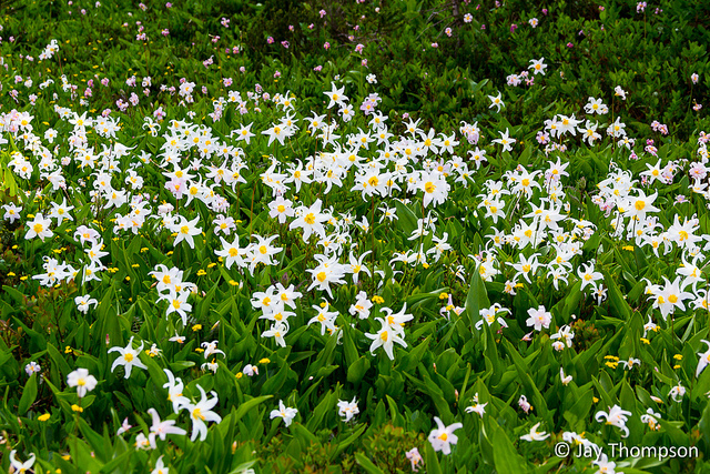
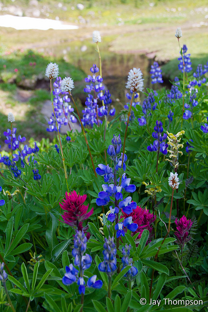
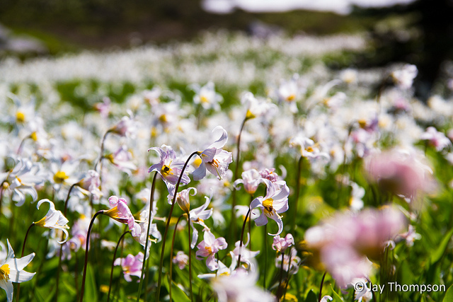
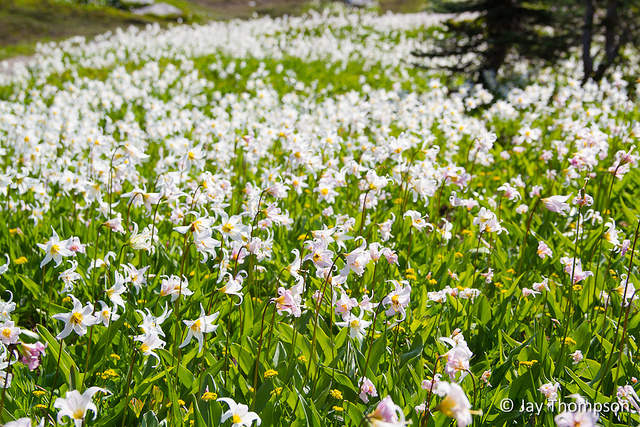
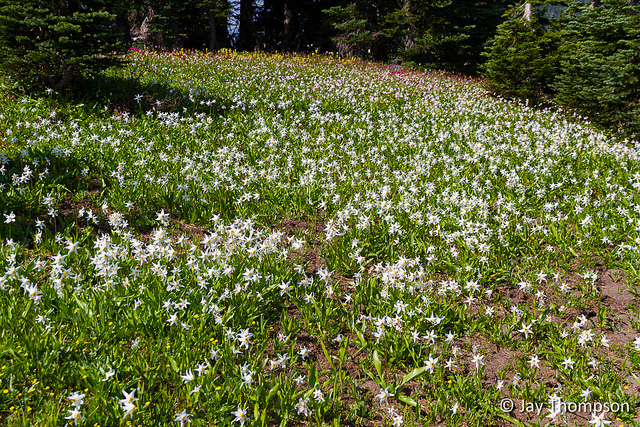
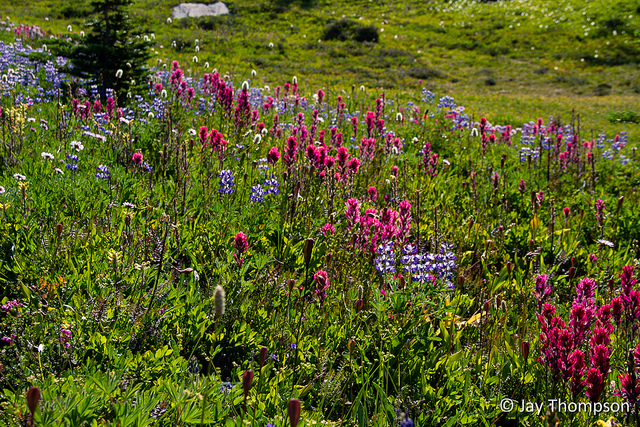
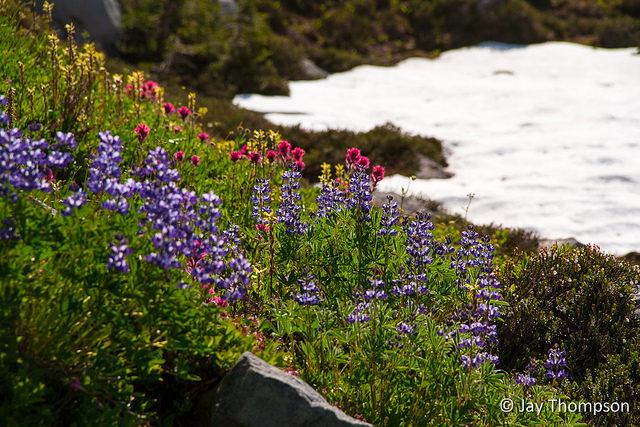
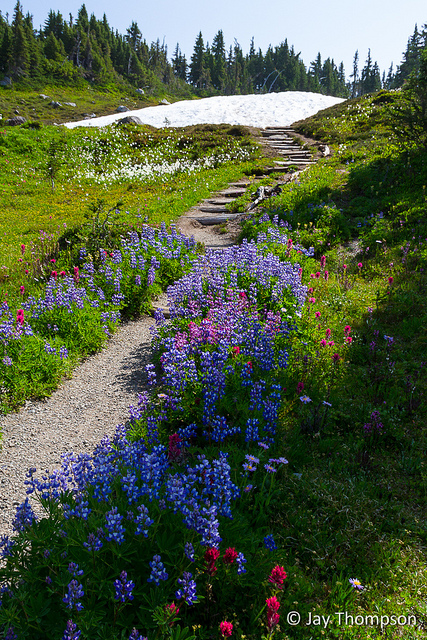
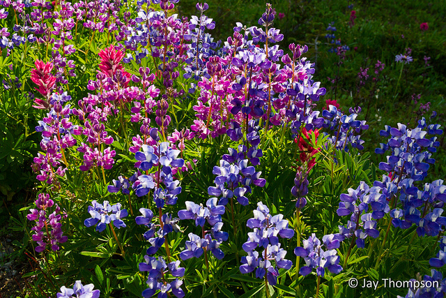
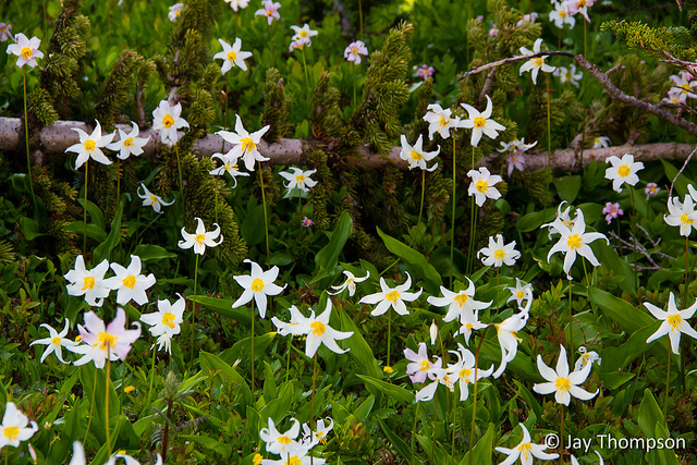
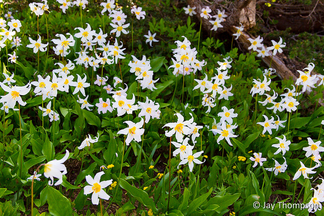
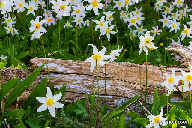
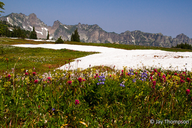
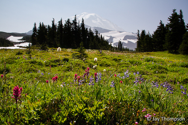
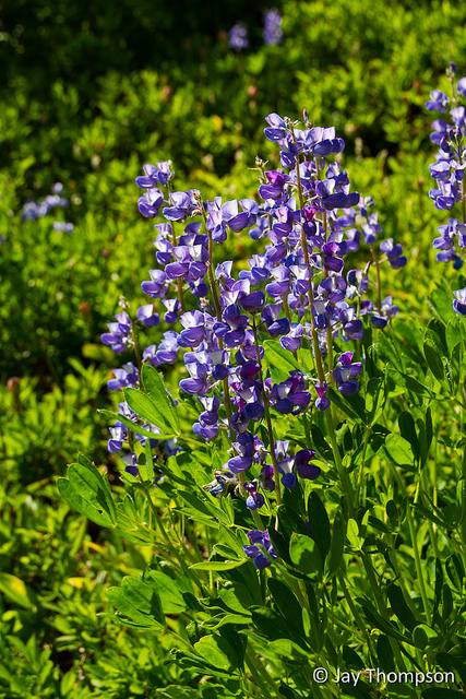
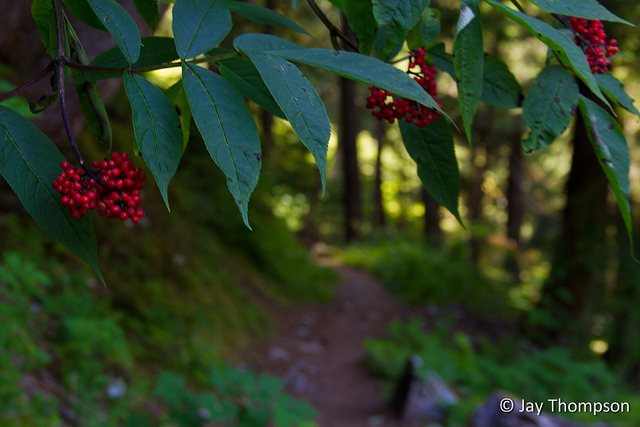
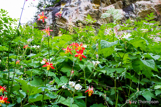
WARNING! Gratuitous wildflower pictures contained in this post!

The impressive base of Spray Falls

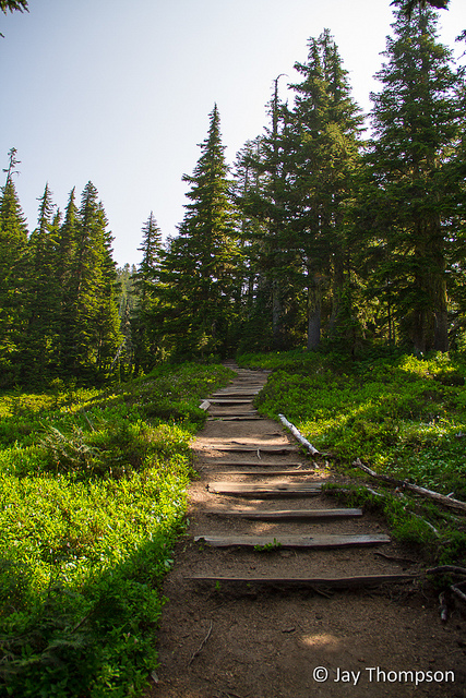
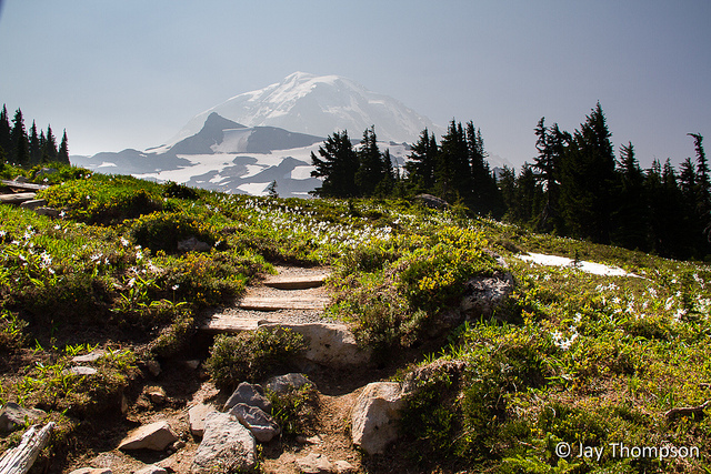
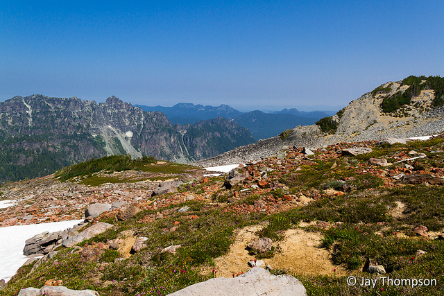
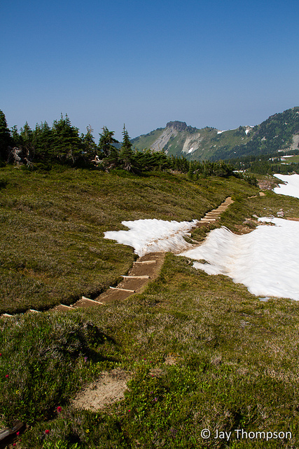
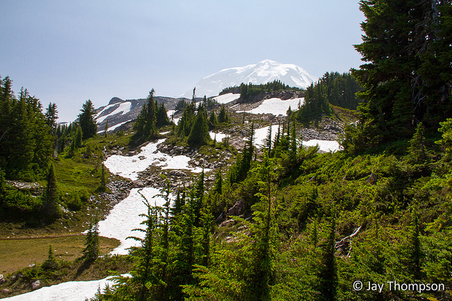
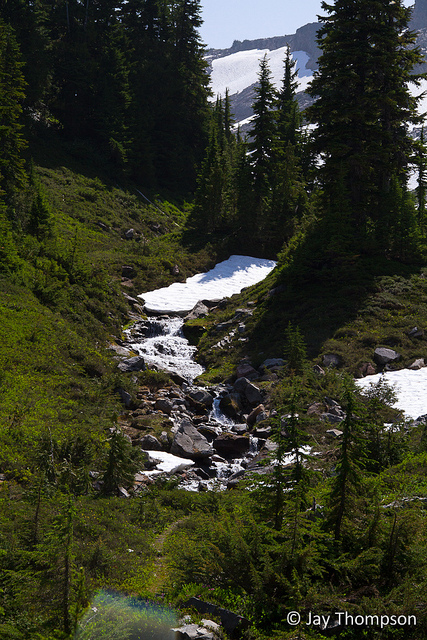
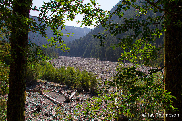
This was a pretty tough 17 mile day-hike near *The Mountain. In years past it wouldn't have been so difficult but this year I have been very out of shape. This trip starts at Mowich Lake at around the 4900 foot level, climbs up to the 6400 foot level at Seattle Park then drops all the way down to 2600 feet at the Carbon River before climbing up over Ipsut Pass at 5100 feet. Its the 2500 feet of elevation gain in the last 5 miles that gets you! See the elevation profile at the bottom of the page to get a good idea.

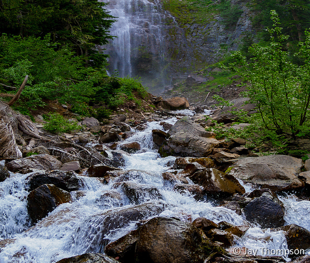
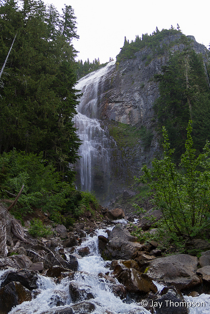
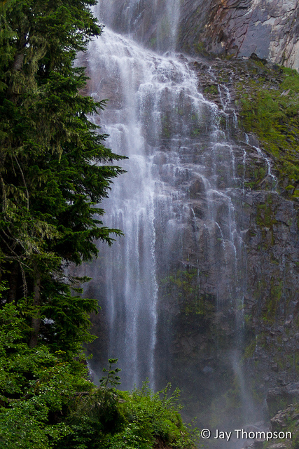
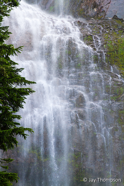
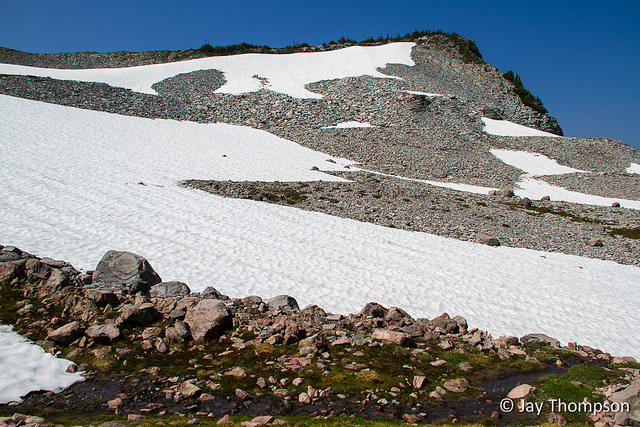
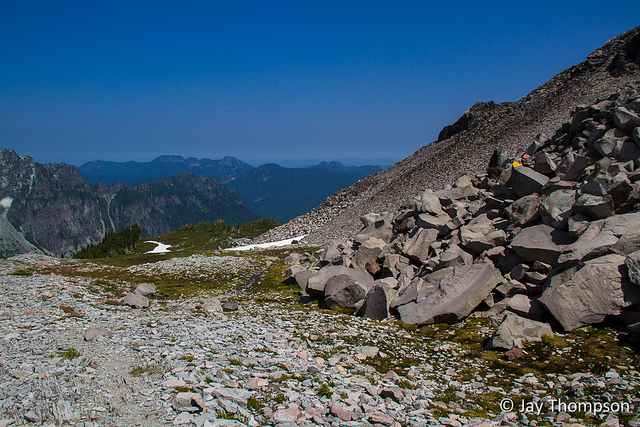
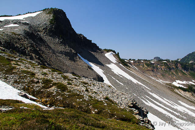
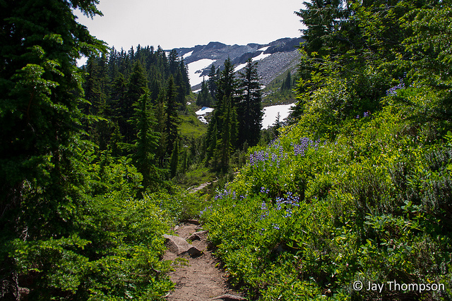
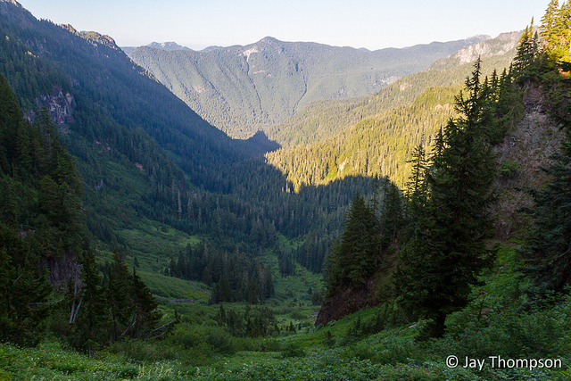
If you are planning to go on this hike, Spray Park is a  good turn around spot if you are only interested in the flowers and beautiful meadows. Make sure you take the side trip to Spray Falls. If you go all the way up to Seattle Park, there are some nice wide open views but when I went there were also snow fields to cross. Something to keep in mind.


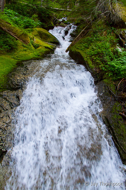
Not much else to say, just another beautiful day at *The Mountain.

For best results, view video full screen at 1080p resolution.


Spray Park Trail
*The Mountain was really socked in with haze. This was my first view of the morning.
A little side stream on the way up to Spray Park
Spray Falls
Spray Falls
Spray Falls
The side trail going to Spray Falls
Entering the first meadows going into Spray Falls
I saw this guy as I was going into the first meadow at Spray Park
He just minded his own business
Good Bear!
Avalanche lilies
Avalanche lilies
Avalanche lilies
Lupine and Paintbrush
Lupine, Paintbrush and other wildflowers
Avalanche lilies
Avalanche lilies
Paintbrush and Avalanche Lilies
Avalanche Lilies along the trail
Avalanche Lilies
*The Mountain
Paintbrush and Lupine
Paintbrush, Lupine and other wildflowers
Beautiful garden that is Spray Park
Different shades of Lupines and Paintbrush
Avalanche Lilies
Avalanche Lilies
Avalanche Lilies
Avalanche Lilies
Spray Park Wildflowers
Spray Park with *Mountain view
Seattle Park
Seattle Park
Seattle Park
Seattle Park
Seattle Park Panorama
2012-08-11 Spray Park - Seattle Park - Carbon River Loop-141
Seattle Park snowfields in August
Seattle Park - a look back from where I'd come
Seattle Park
Seattle Park Panorama
Seattle Park
Descending into the trees from Seattle Park
Seattle Park
Seattle Park
Seattle Park
Lupine
Leaving Seattle Park
Cataract Camp
Forest near Cataract Camp
Detour!
2012-08-11 Spray Park - Seattle Park - Carbon River Loop-176
Suspension Bridge over the Carbon River
Carbon River and the Carbon Glacier
Carbon River
Junction with the Northern Loop
A channel of the Carbon River
2012-08-11 Spray Park - Seattle Park - Carbon River Loop-189
Carbon River
2012-08-11 Spray Park - Seattle Park - Carbon River Loop-191
Trail along the Carbon River
Just 5 miles to go.... and 2400 feet of elevation gain
Was pretty thirsty and drank a whole liter of this.
Red Columbine
Looking back down towards the Carbon River and the Ipsut Drainage from Ipsut Pass
1.5 miles back to the car!

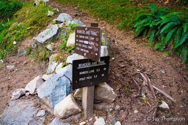
Due to an error with the tracking software, the elevation profile reads in reverse on this map. I went counter-clockwise when I hiked it.


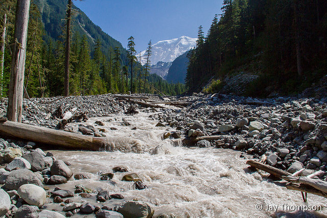
*The Mountain - a.k.a. Mt Rainier.


Print Friendly, PDF & Email

8 thoughts on “Spray Park – Seattle Park – Carbon River Loop

  • August 18, 2012 at 7:53 pm
    Permalink

    Nice post, Jay. I dig the movie. The first pic of the The Mountain is killer, too. Top notch stuff and a great motivator for me. 17 miles seems impossible right now…but I’ll get there.

    Reply
    • September 2, 2012 at 8:44 am
      Permalink

      Thanks Chris. Just keep on hiking, you’ll get there!

      Reply
  • September 2, 2012 at 8:32 am
    Permalink

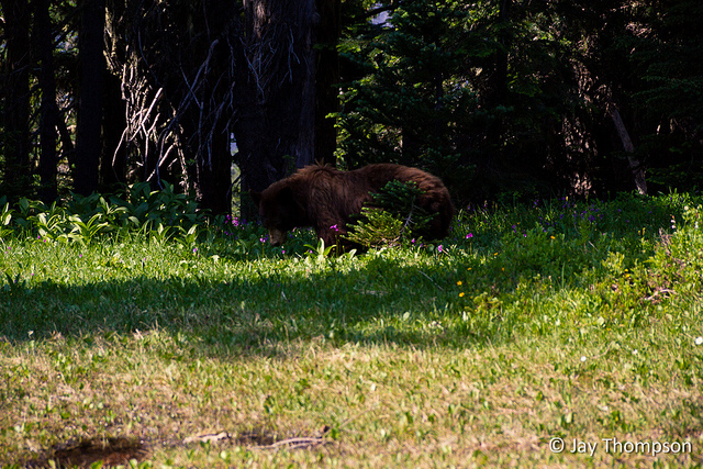
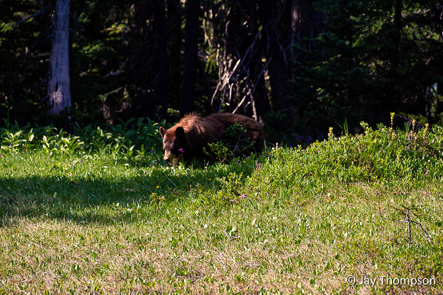
    Long day hike indeed but from the pictures and video it was well worth it. I’m also jealous of your bear sighting.

    Reply
    • September 2, 2012 at 8:43 am
      Permalink

      Thanks Al. It was totally worth it and helped condition me for a longer stretch on the Wonderland trail I did with a couple friends last weekend.

      Reply
  • May 20, 2015 at 3:29 pm
    Permalink

    Nice post and beautiful pics! I’ll be doing this loop for the first time in August this year and plan to camp a long the way as I’m not ready to hike it all in one day!

    Reply
    • May 28, 2015 at 12:57 pm
      Permalink

      Go for it Ericka! Hopefully you’ll catch the amazing wildflower display!

      Reply
  • June 29, 2017 at 12:24 pm
    Permalink

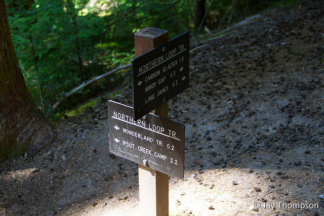
    I was going to hike counterclockwise from Mowich lake and camp overnight at Ipsut creek. How long do you think that will take if I leave Mowich lake by 9 am? And is that a good strategy to go in that direction? Thanks!

    Reply
    • October 26, 2017 at 9:17 am
      Permalink

      Sorry I’m so late in responding. I haven’t checked my website in quite a while. I hope your trip was fun. If you still haven’t gone, I would think leaving Mowich by 9 would be fine. Give yourself 3 or 4 hours, maybe a little longer if you like to dawdle and take lots pictures and snack breaks. Plus an overnight pack will slow you down some. Counter-clockwise is fine. Probably better actually since it will be a shorter uphill on day 2.

      Reply

Leave a Reply

Your email address will not be published. Required fields are marked *

Click here to Subscribe

Thanks for taking an interest in following me on my adventures. Enter your email address below and click the sign me up button. You should receive a confirmation email momentarily.