June 12th and 13th 2010
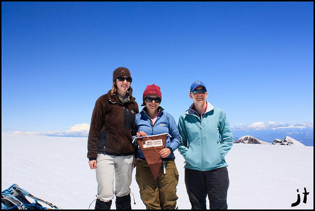
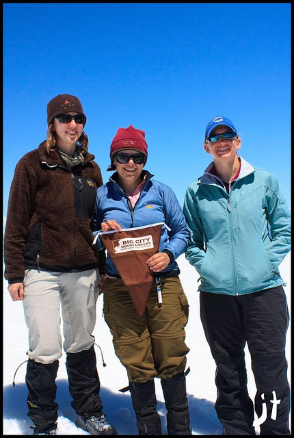
This PWC trip was sponsored by Doug Savage. Doug had maxed out the limit of permits he could get so I purchased some permits also. Together we had 18 permits and 14 people ended up going on the trip.

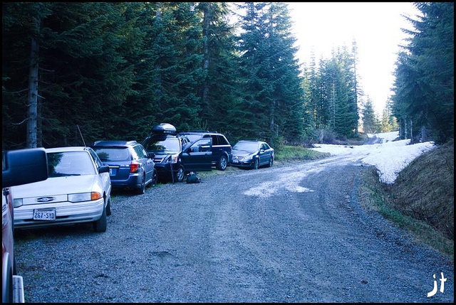
Most of us met and set out from Doug’s house at 3:00 pm on Saturday the 12th of June. We carpooled and took 3 cars. Some of the others from our group that didn't participate in our little convoy met us at the trailhead later that evening or the next day. Those of us that left from Doug’s arrived at the Lone Fir Resort to pick up our permits and to grab a bite to eat around 7:00. After dinner and signing the climbers register, we headed up to the Marble Mountain Snopark and set up camp. Drinks were passed around as we sat around the campfire that no one felt like lighting and stories were told. Before too long it was dark and everyone turned in for the night.
In the middle of the night I got up to use the restroom (a bush) and the stars were out and I could see the milky way. Been a long time since I have been able to see it that clearly. I wanted to try out my camera to see if I could get some shots of it but it was in my car trunk and I didn't want to wake anyone by getting in and out of it. Oh yeah, up to this point I hadn't been able to get to sleep either. I always have a hard time sleeping on my first night out, plus my nose was stuffy due to a sinus issue I was dealing with. I shared my tent with Steve Osburn and I think I was afraid of keeping him awake with my snoring as well. 5 AM came before I knew it, and as always when I have trouble sleeping at night, it was time to get up just as I was falling deeply asleep. It was going to be a long day.
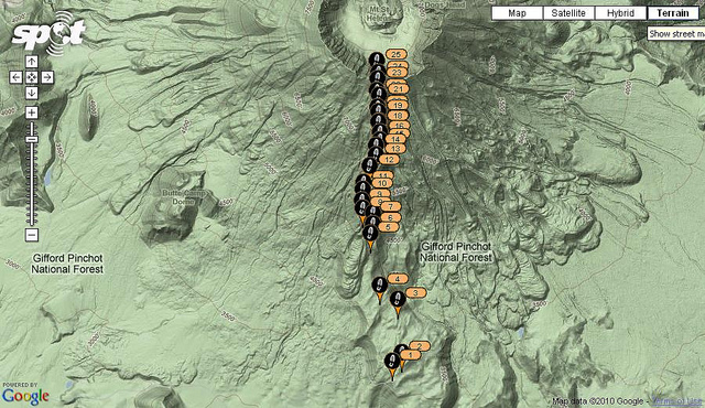
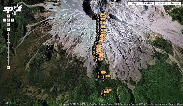
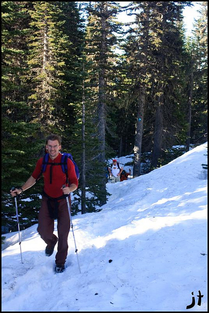
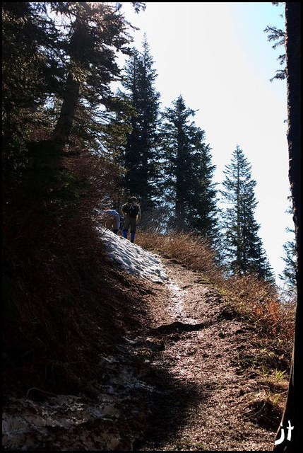
After a quick breakfast, we piled in our cars and drove over to the Climber's Bivouac. The road to Climber's Bivouac had just opened a few days earlier but there was still snow blocking the road just a couple hundred yards from the parking area. After we donned our gear for the day, boots, gaiters, packs, poles, etc, we headed up the road to the parking area where everyone used the last real bathroom for the day. Sean was there and he looked down at his climbing boots and they had broken and were self destructing so he had to run back to the car for his hiking boots. After this little issue we were on our way up the trail. The snow was quite deep in some drifts on the trail and other spots were bare. For the most part though, it was snow all the way. Curiously the snow conditions seemed to be much the same as an earlier report by Jim Morrison of a Saint Helens climb he and some others in the club did back in March, though that climb was undoubtedly colder and they started from the Snopark which is a longer trek for sure. The weather this year has been pretty crazy in respect to mountain snow fall.


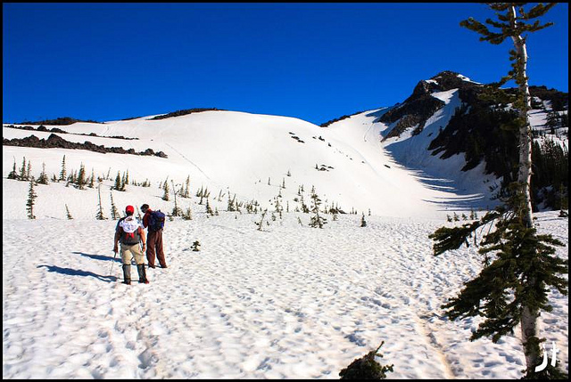
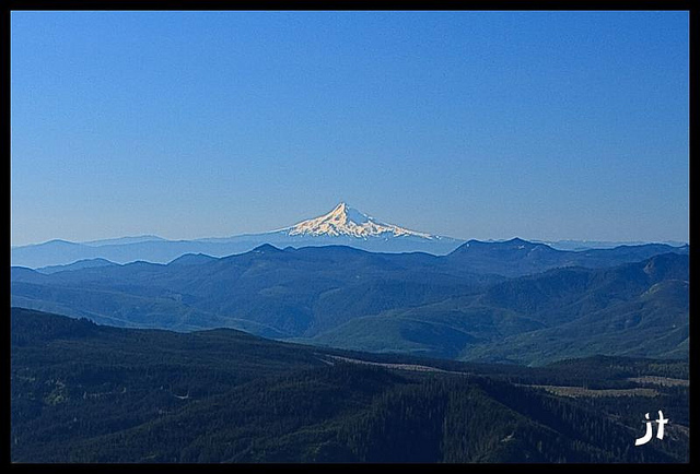
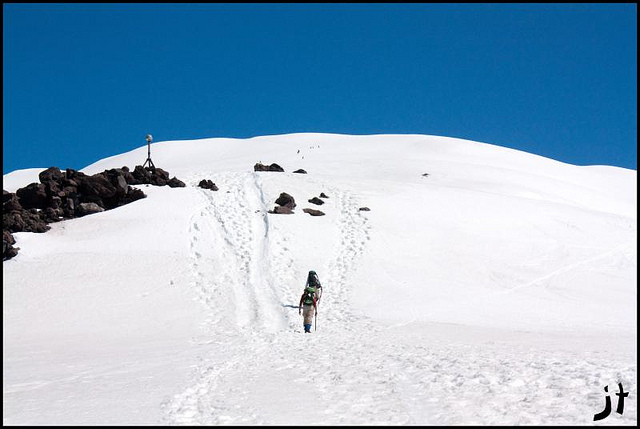
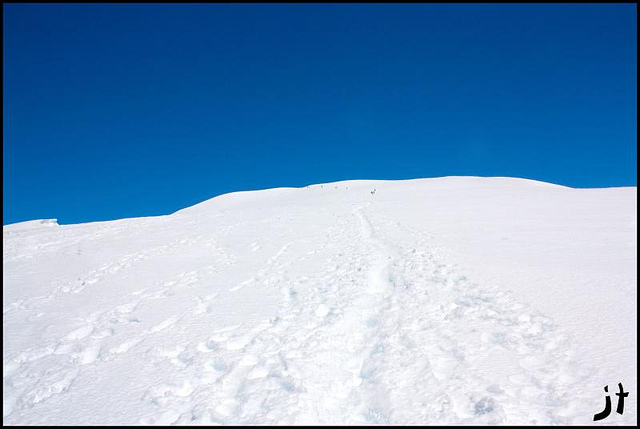
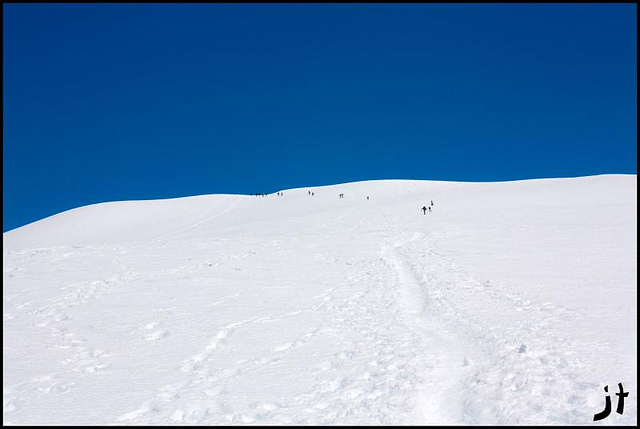
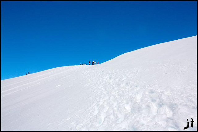
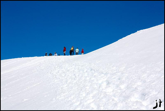
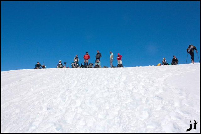
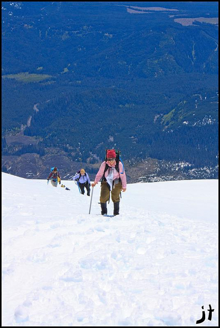
After a few miles of hiking in the woods you come out to the base of the mountain and the climb truly begins. The trail winds around in the woods a little longer but you are definitely going up now instead of merely walking towards the volcano. After the woods section you break out into a meadow, or what will be a meadow when the snow has melted away and you can see Monitor Ridge going up the mountain. This is more or less the landmark you will follow as you go up. You will see glimpses of the top of the mountain the whole way up assuming it is cloud free and you might even see the ants.... I mean people on the top.

Going up I stopped every now and then to either,
A. Take a picture
B. Catch my breath
C. Have a little snack break
D. Catch my breath
E. Apply more sunscreen
F. Catch my breath


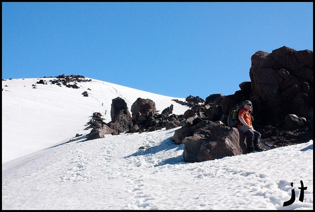

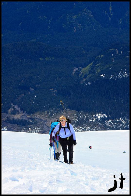
The climbing was very easy as it was just a one foot in front of the other type of climb. Nothing technical about it. A couple steep sections here and there but these were relatively few. I passed a few folks and got passed by even more people on the way to the top. I had slacked off a lot this spring and was really paying for it on this climb. I kept checking my altimeter and it was creeping up painfully slowly. I was at about 7200' when I just ran out of gas. The wind had kicked up pretty strong and the sun was beating down. My lips hurt and my face felt sun or wind burned. Onward and upward I trudged. I got to about a hundred or so feet from the summit and it was misery seeing everyone up there watch me as I struggled to get to the top. I must have heard "your almost there!" about ten times from other climbers coming down. Almost there indeed! I see Doug watching me and when I finally get to the top he declares "OK time to go"! I wanted to tell Doug he could go #@!% himself but I bit my tongue.

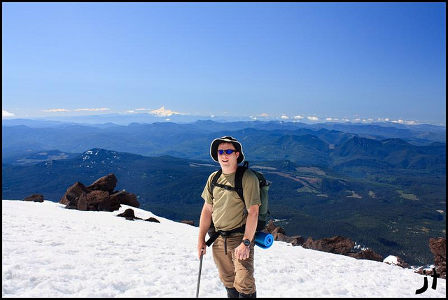


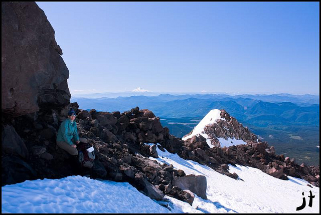
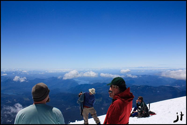
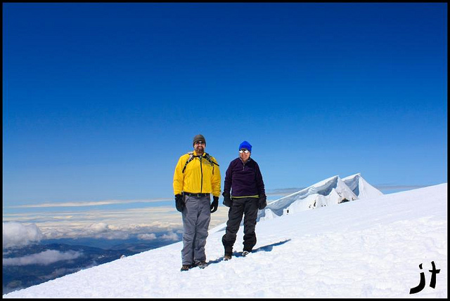
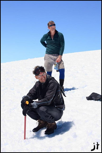
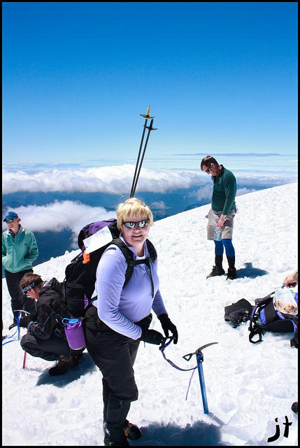
Upon reaching the top, I had a sandwich and some of the awesome chocolate chip cookies that Steve's wife Nancy made for all of us (I had 5 of them)! Soon I joined the others who had summited before me in watching the other folks slowly make their way up the mountain. It was only a matter of minutes before I was joining Doug and the others in making plans to tell those folks it would be time to head back as soon as they summited. Folks were milling all about on the summit and there was still a fairly large cornice on the top of the crater. Some were getting closer to the edge than I myself was comfortable with so I was unable to see the actual lava dome, nor did I get any pictures of it. I'll have to console myself with the reality that the mountain will be there next time (hopefully) and I will see the lava dome the next time I go up there. Finally the last of our group made it to the top and we let them catch their breath and have some lunch. Doug was getting antsy as he was ready for margaritas back at the car. So after a few more summit photos, we were getting prepared for the glissade back to the car.


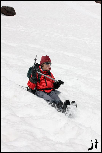

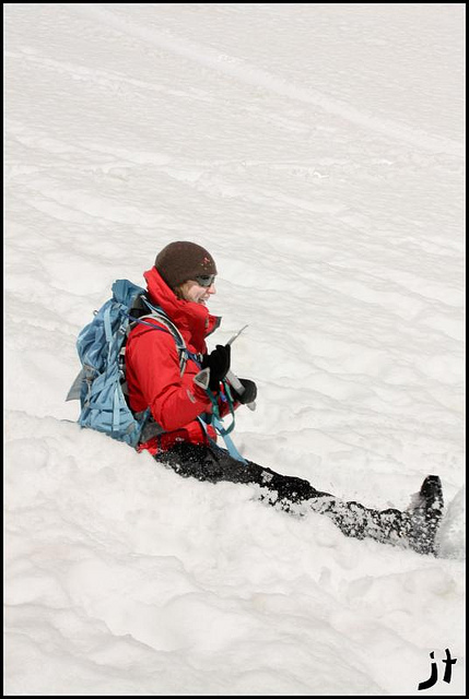


Now that we were back in hiking mode, the reality of what we had just done started to set in and I started to realize how tired I was. Not from climbing so much but my lack of sleep the night before. We hiked on, and came to a junction. Go the way we had come up, or go straight downhill, down a promising looking path? If you give a hiker a choice of which path looks better, 9 times out of 10 they will take the downhill path. Never mind the fact that they have NO IDEA WHERE IT GOES! Just take the downhill path, its easier. But we only lost about 20 minutes on the easier path so I won't go into it much except to say it involved more glissading (did you get the earlier part about us removing our glissade gear already?) and that we took a wrong turn or three. We eventually made it on the correct path. Remember when you are on snow its harder to figure out where the trail is since its buried. Following others people's tracks is great unless they are lost, then you have a problem. The Forest Service was kind enough to mount blue diamonds on the trees every hundred feet or so along the trail so you could follow it in the winter. Exactly what the Forest Service did with the yellow moons, orange stars, green clovers, purple horseshoes, and red balloons is anyone’s guess but none of us saw any leprechauns looking for their lucky charms either so that was a good thing. It took about 45 minutes to an hour more of hiking before we were back at the cars.


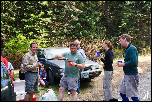
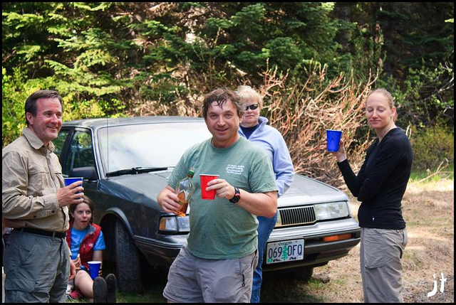
All were glad to remove their wet boots and socks and put on some regular clothes. Doug was mixing up Margaritas, and some of us had beers instead. I had a beer and took some vitamin I (ibuprofen). I still had a long drive home so I limited myself to one beer. We agreed to stop for dinner on the way out. Doug suggested Burgerville in Woodland. I had driven by the Burgerville in Vancouver once or twice so the suggestion piqued my curiosity. The idea of trying the fried asparagus sounded good, besides, hiking makes you hungry!