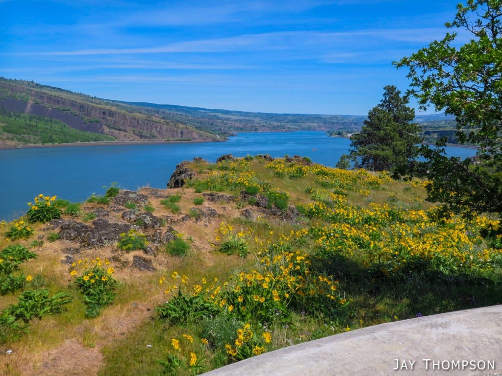
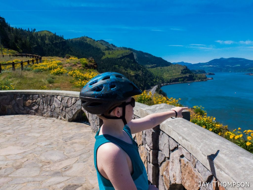
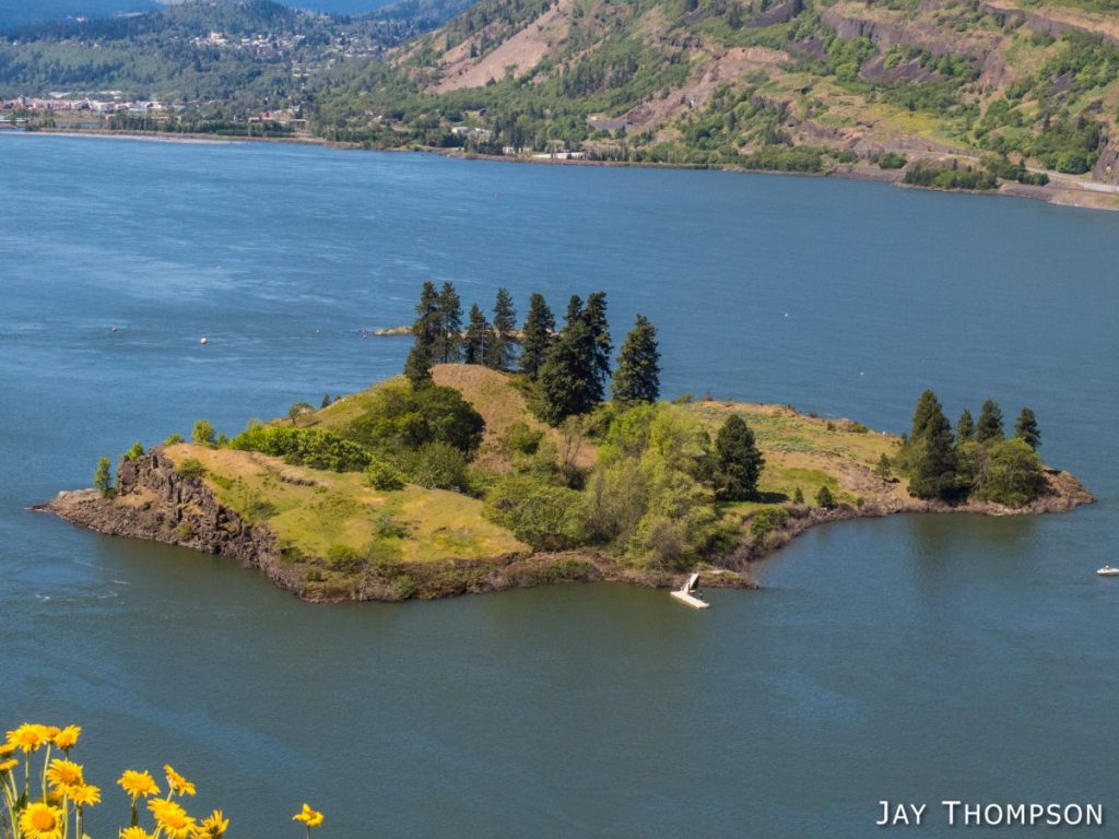
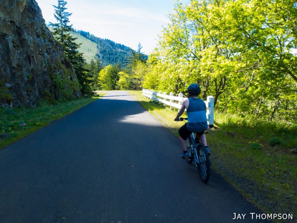
Just a few pictures from the bike trail between Hood River and Mosier, also known as the former Columbia River Hwy. This fun trail that is just over 9 miles round trip includes fabulous views and a trip through the famous Mosier Twin Tunnels. My family and I try to do this trail whenever we know we are going to be in the area (and we remember our bikes).


Directions to the Mark O. Hatfield West Trailhead (Hood River Side - Stolen from Oregon Hikers)
From Portland, drive I-84 east to Exit 64 for Highway 35, White Salmon, and Government Camp. After exiting, turn right at the Stop sign and then make another right turn. Head up for 0.4 miles to a four-way intersection. Turn left here for the Historic Highway State Park. Wind up the hill for 1.2 miles and turn left into the parking area at Mark O. Hatfield Western Trailhead.
Directions to the Mark O. Hatfield East Trailhead (Mosier Side - Also Stolen from Oregon Hikers)
From Portland, take I-84 East to the Mosier exit (Exit 69). Turn right at the end of the freeway offramp. The road curves toward the left toward the town of Mosier. At the base of the bridge turn left and circle under the bridge. Drive about one mile to the trailhead parking lot on the left.
Whichever side you start from, there is a $5 parking fee at the trailhead.
