 I was chomping at the bit to get out but not sure where to go. I knew I didn't care to drive too far but I also knew I wanted to get to elevation. I was thrilled when I got a Facebook message from Gwen letting me know that her and Jim would be coming over from Seattle to hike Mt Townsend. Just like that, my hiking plans were made for me. After some back and forth, we settled on the Little Quilcene Trail, as her and Jim had never been up that way before. Actually it was a little more convoluted than that since Gwen was trying to surprise Jim with me showing up. We did eventually settle on the Little Quil, although I think Gwen had to let the cat out of the bag to Jim to convince him to take this route. Jim was concerned with snow levels and initially wanted to go up via the Mt Townsend Trail.
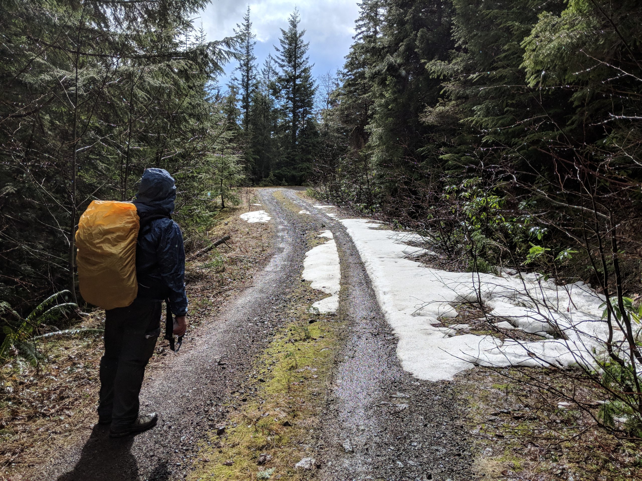
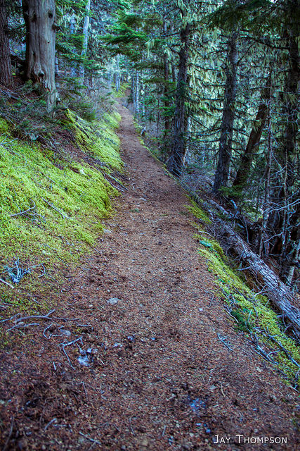
The hike was uneventful. No snow except for a couple small patches of ice. Traction devices were not required. Since Jim and Gwen arrived before me, I rushed to try to catch up to them and I did run into them shortly before the junction with the Mt Townsend Trail where the Little Quil unofficially becomes the Dirty Face Ridge Trail. Maps show this as the Sleepy Hollow area. Gwen and Jim said they had left the trailhead only shortly before I did.
In no time flat we were at the summit. Lots of folks were up there to enjoy this odd February weather. Not much snow this year. I ran into my friend Bob Dormaier on the summit who is a PWC member. I always seem to run into this guy in the oddest places. The first time was at Royal Lake in a snowstorm on Columbus day in 2009. Also saw him again at Upper Royal Basin when Doug Savage and I did a traverse from Heather Creek. Man this guy loves Royal Basin, LOL. Hiked Jefferson Ridge with him a couple of years ago. Ran into him at Heather Park a couple of years ago too. I guess when you run around long enough in the same circles, you're bound to run into the same people over and over. Gwen ran into somebody she knew as well, and Jim? Well everyone knows Jim.
I stayed on the summit enjoying the day for about an hour. Gwen and Jim seemed pretty happy to stay put, but I had a project at home that needed my attention so I bade my farewells and beat feet out of there. On the way down, a dude I met on the summit caught up to me and we hiked together to the trailhead. He claimed to have snowboarded from the summit the year prior and I had no reason to doubt him, his stories seemed credible and he was very knowledgeable about the outdoors.
All in all, it was another great outing to the top of Mt Townsend with my friends from across the Sound.
As always, click the images for a larger view and slideshow.






Jim's report can be found here.
Driving directions to the Little Quilcene Trailhead: (Courtesy of the USFS): The Little Quilcene Trail #835 starts 14 miles northwest of Quilcene on Forest Service Road #2820. Turn left on Lords Lake Road 2 miles north of Quilcene, stay to the left at the lake and follow Forest Service Road #28 over Bon Jon Pass to the junction with FS Road #2820. Follow #2820 4 miles to the trailhead.
Hiked 2015-02-16

