Umtanum Canyon Loop

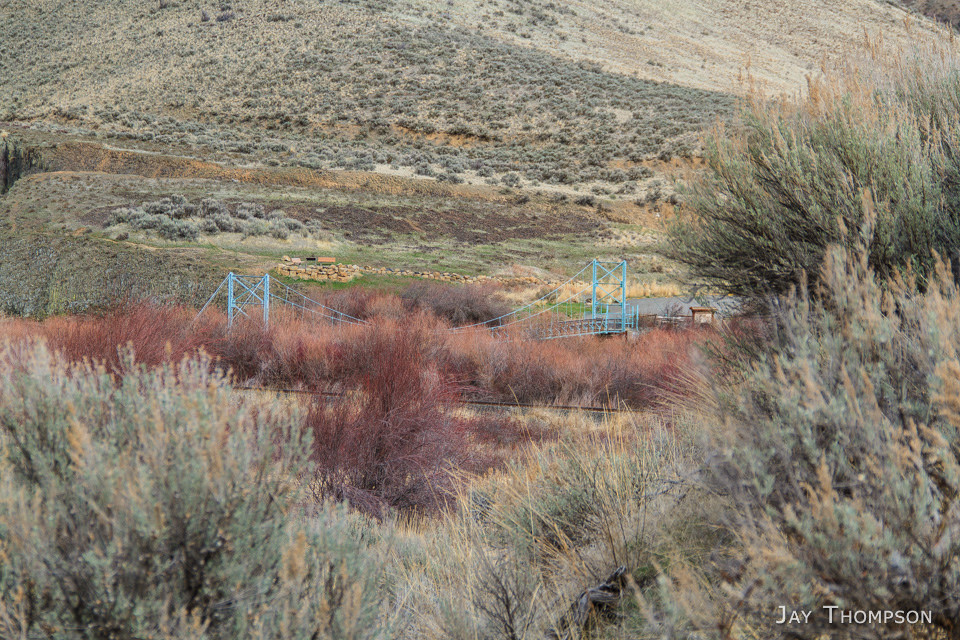
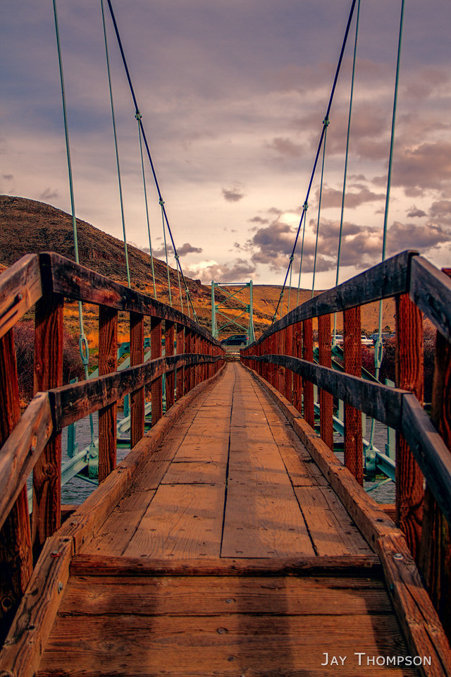
Footbridge that crosses the Yakima River as the trail heads into Umtanum Canyon. As always, click the images for a larger view.

I recently visited Umtanum Canyon and ridge again. Last October I hiked the canyon and climbed up to Manastash Ridge for a loop. This time I went up Umtanum Ridge and did a big loop on the south side of the canyon. I really enjoy the wide open spaces in the Umtanum area and come here often when trails are too wet or snowy for my taste on the west side of the Cascade mountains.

I wasn't planning on doing as big of a loop as I did since there is a sign at the beginning of the hike that says the canyon is closed 3.25 miles ahead February through July to protect sensitive wildlife. Well I hiked quite a ways up into the canyon and didn't see any "do not proceed any further" type of signs so hopefully I was OK, but looking at the GPX file, it looks like I may have gone further than I should have. Not that it would have mattered I guess as someone, or several people I should say, were blasting their guns all day long in the area. Not sure why they think that keeping people out of an area to protect a habitat while others are blasting their guns all day long protects habitat. I guess the sensitive wildlife is immune to all that noise? I'm not against guns or people's right to shoot, just curious what is behind these strange wildlife regulations.

I was surprised how close I got to the Durr Road this time around. The Durr Rd was built in the late 1800s and connected Ellensburg with Yakima. From The Ellensburg side, Durr Rd crosses over Manastash Ridge before dropping down into the canyon just to climb out again on the other side going up Umtanum Ridge.

At some time, I would like to hike the whole canyon from the Yakima River, all the way to Umtanum Falls. I would probably do this as a backpack in the fall. There is a nice little spot right near the falls where a person could camp. Getting through some of the brushy areas might pose a problem, but it certainly seems doable.

Start of the trail.
We found an old foundation of a house a half a mile or so into the canyon. There are aslo several fruit trees in the canyon, which I enjoyed picking from on my last visit.
This was further up in the canyon as we began climbing out on to the ridge. Some kind of abandonded log cabin or something.
Looking up to the top of Umtanum Ridge
Looking across over to Manastash Ridge
Climbing out of the canyon.
We went cross country for quite a ways before stumbling on to a service road for a power line that crosses the area. We followed this road the rest of the way up.
Looking back down towards the canyon. One of the power lines we followed up is in view.
The road and the view from the top.
A look back down to the canyon.
The ridge top road. We followed this back towards the Yakima River quite a ways before dropping back down to the canyon.
Looking East towards the Yakima River and I-82 which is just out of view.
Looking back from the way we had come.
Benchmark and sparkplug at the 3600 some odd foot top of Umtanum Ridge. A benchmark is usually placed in a rock on a mountain top or other location and is used as an elevation reference. Since there is no hard rock on the ridge, they used a big piece of concrete that was part of a foundation for some type of structure, possibly an old lookout.
My friend Cheryl heading back down to the canyon.
Pacific Green Sphinx Moth. This guy was really weird looking.
Trail heading back down to the canyon floor.
A look up the canyon from the ridge trail.
Footbridge in sight.
Umtanum dreaming. Thanks for visiting.

Umtanum-march.gpx

This is the route we took


This map represents all the places around Umtanum I have hiked.

Leave a Reply

Your email address will not be published. Required fields are marked *

Click here to Subscribe

Thanks for taking an interest in following me on my adventures. Enter your email address below and click the sign me up button. You should receive a confirmation email momentarily.