May 21st 2016
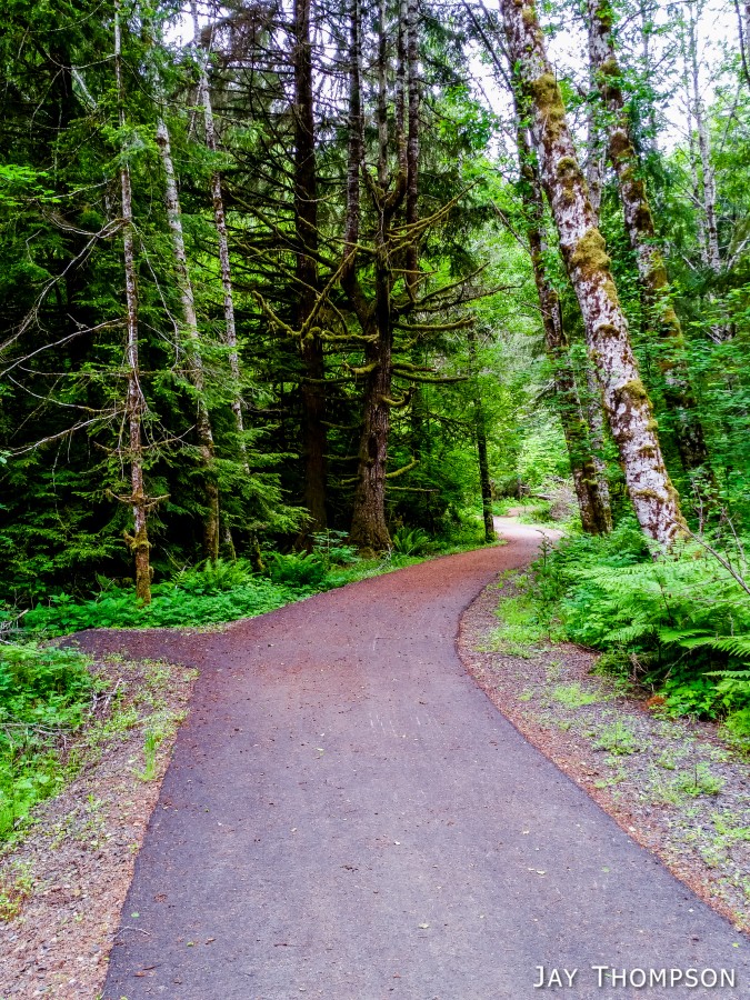
I hiked the Mt Muller Loop Trail on Sat May 21st 2016 to see if there were any changes since the third edition of the Olympic Mountains Trail Guide. There were a few differences such as the Olympic Discovery Trail sharing a short section with the Mt Muller Trail on the valley floor, but for the most part the description in the book matches my experience.
There was a 30% chance of rain this day, and when I left my house, it was raining gently. I seemed to not have a lot of energy and it was hard to get motivated, as it often is for me when it is grey and wet out. I was happy when I arrived at the trailhead and the sun was out, although it did go behind the clouds after I was on the trail for an hour or so. Luckily it stayed dry for me all day. For only being about 13 miles, the Mt Muller Loop sure seemed a lot longer.
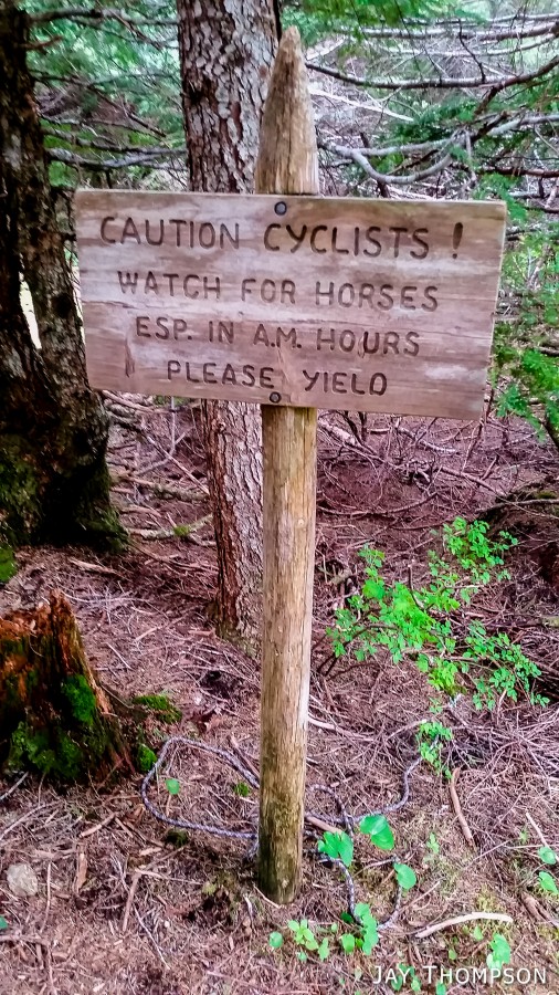
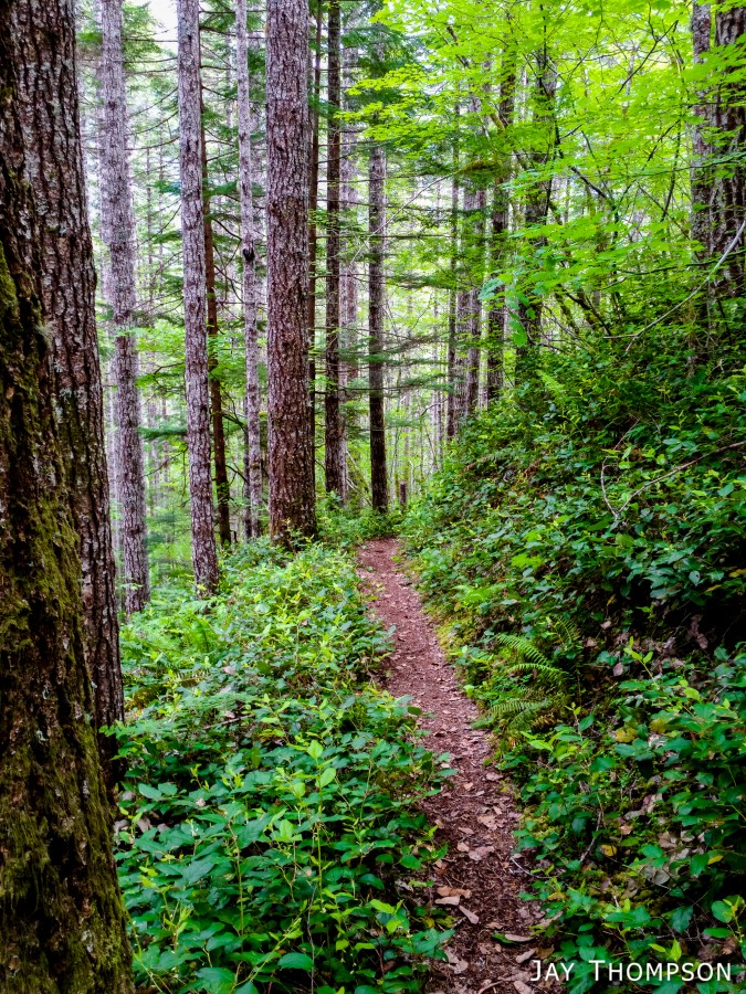
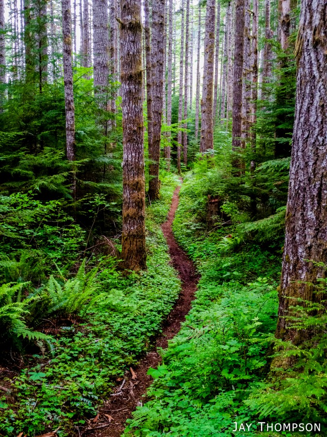
The trail itself is in great shape. I think I only saw one tree down across the entire trail. Knowing that many trails suffered major storm damage over the winter, it is clear that this trail is well loved. Still, I only saw five mountain bikers and two hikers. No equestrians. I was actually surprised to see any mountain bikers at all since the trail seems kind of steep for that sort of misery. I did ask one of the mt bikers how it was and he said he didn't think it was a very good trail for mt biking because of the steepness and how technical it was. I know I won't be doing any riding here any time soon.
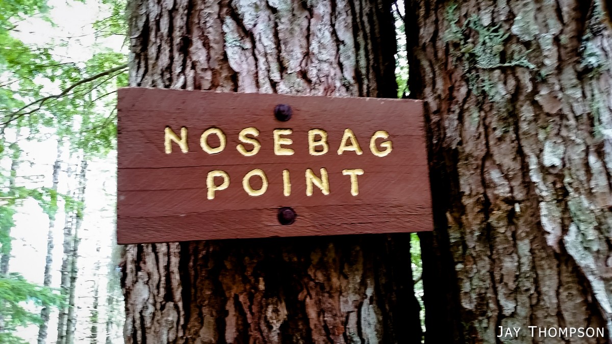
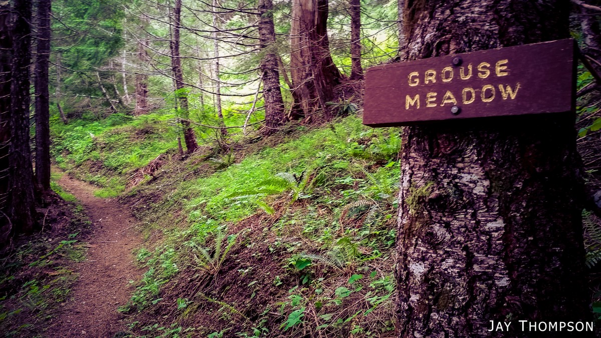
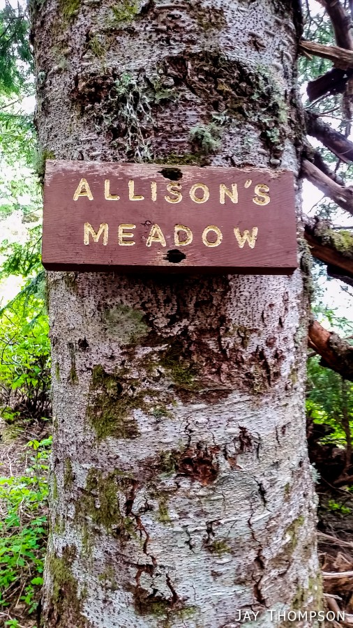
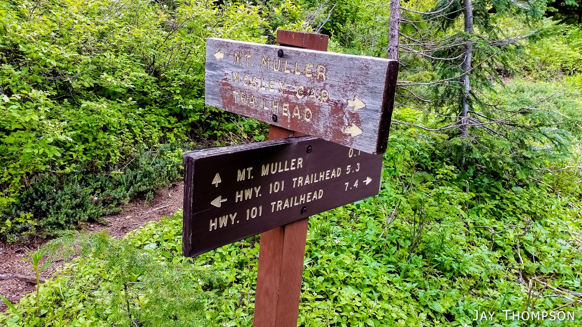
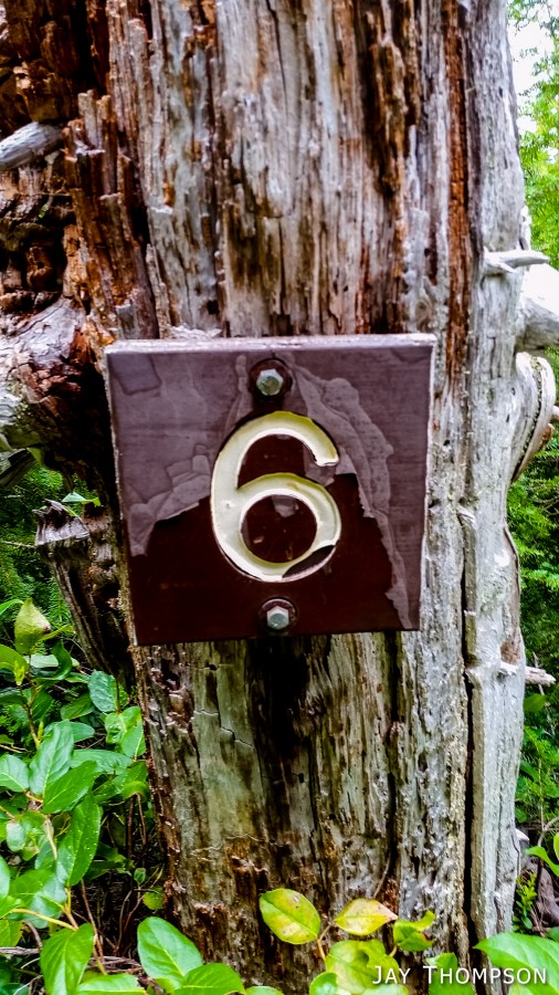
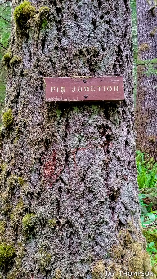
There are lots of signs on the trail. It seemed that every minor feature had some kind of name and some places named for God only knows what. Names such as Nosebag Point and Crow Caw Flats were humorous, but without really knowing the history behind the names, made them simply that - humorous. There were mileage signs all along the way but I either didn't see most of them or many of them were missing.
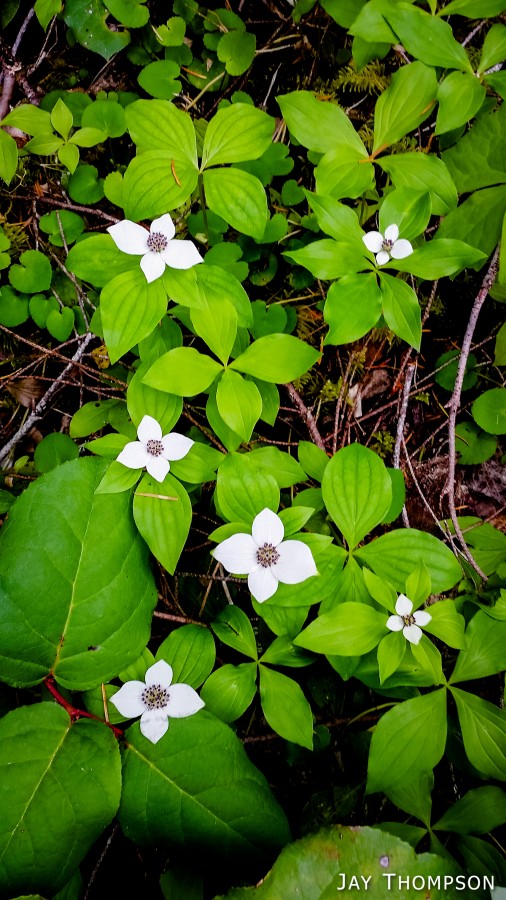
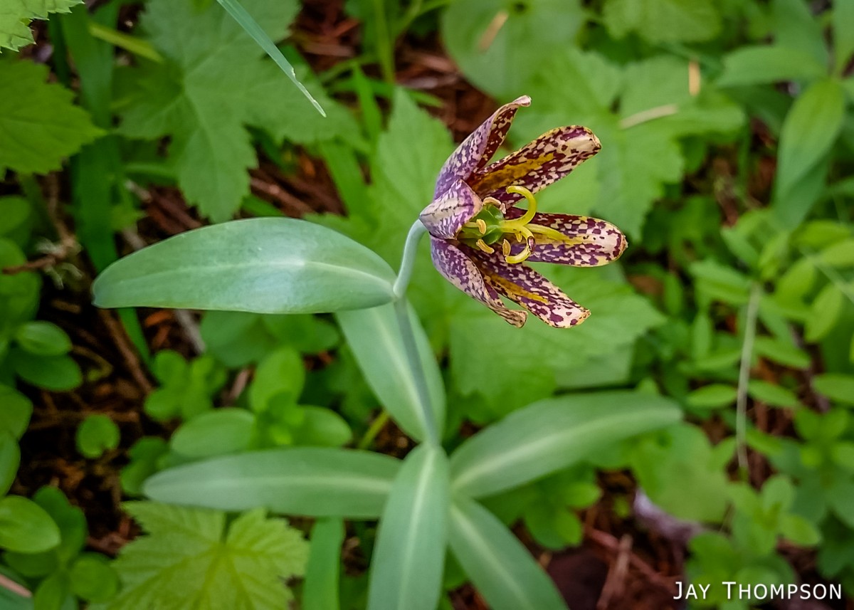
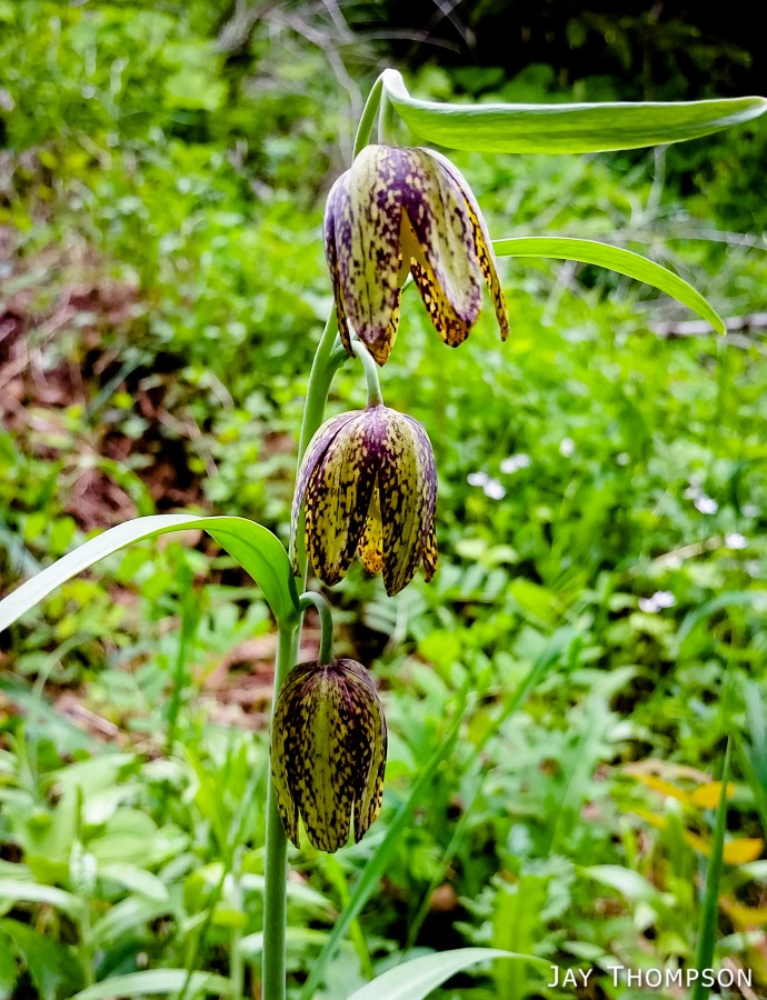
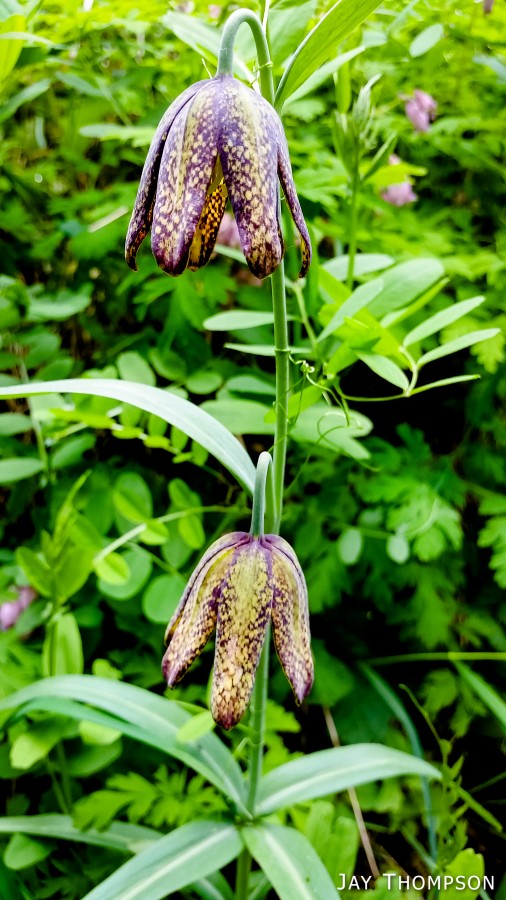
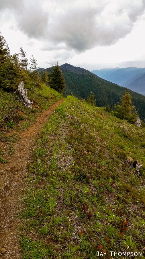
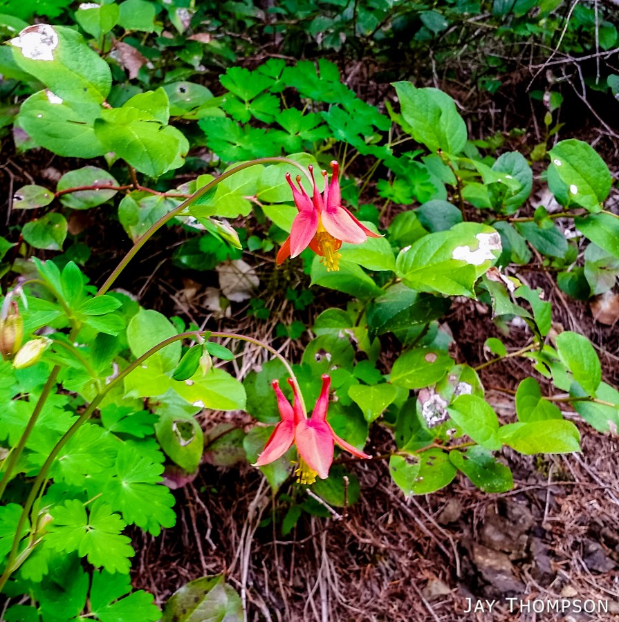
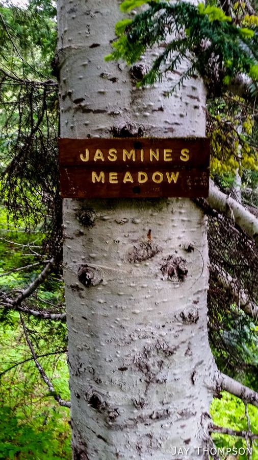
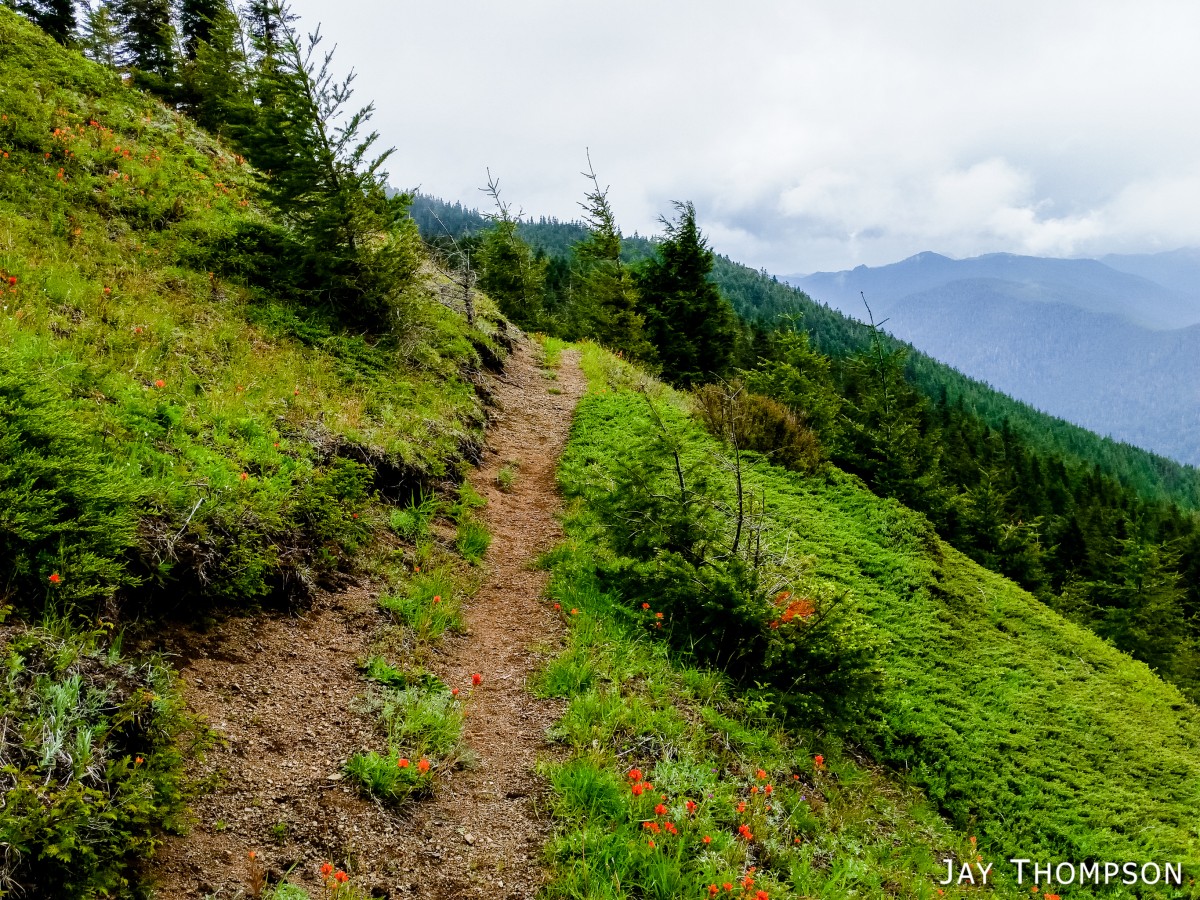
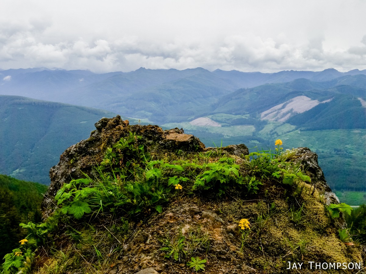
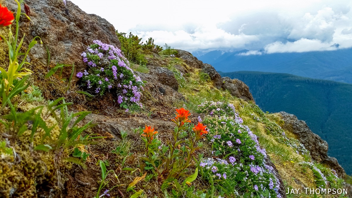
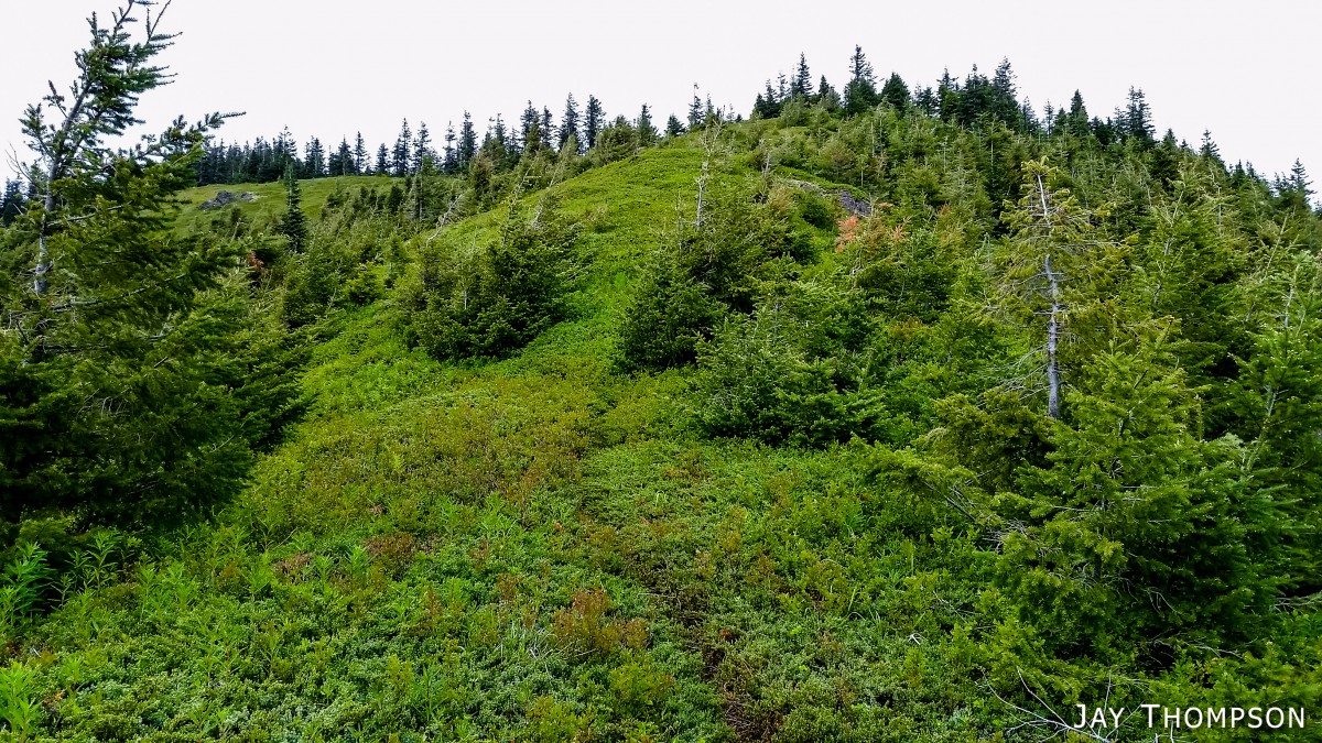
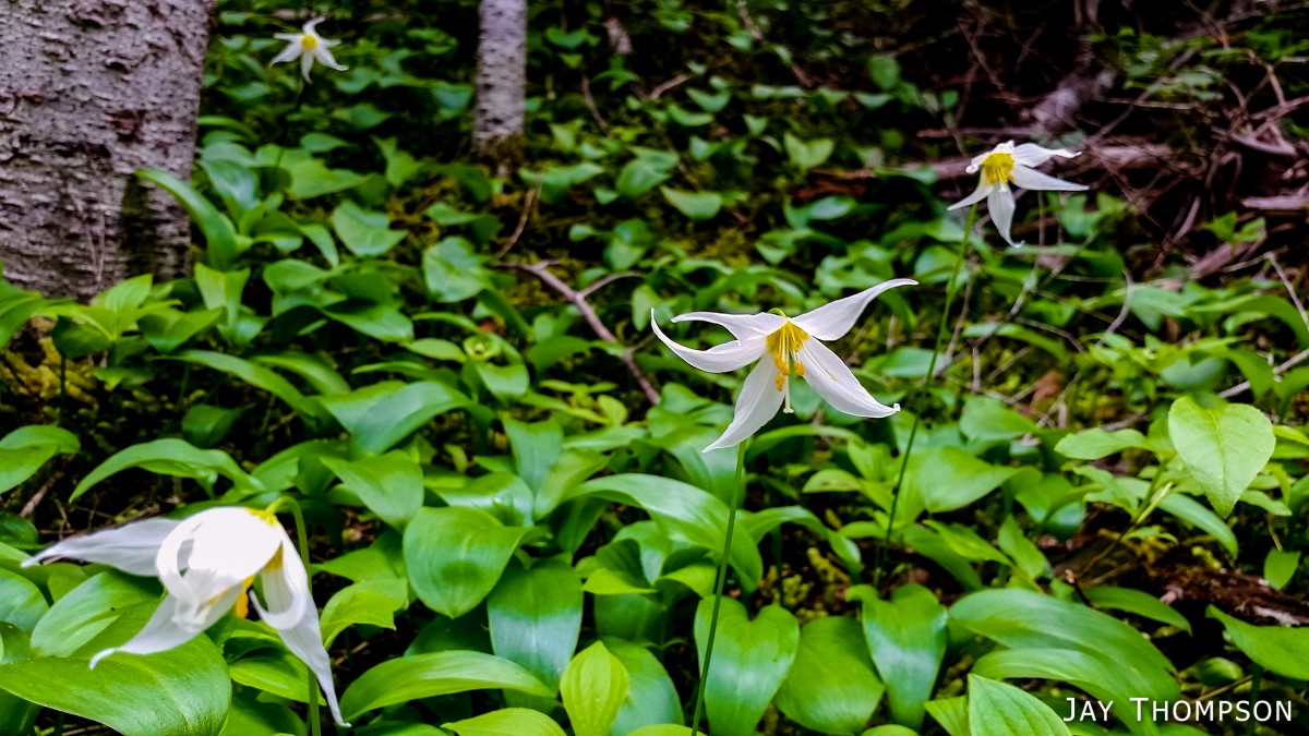
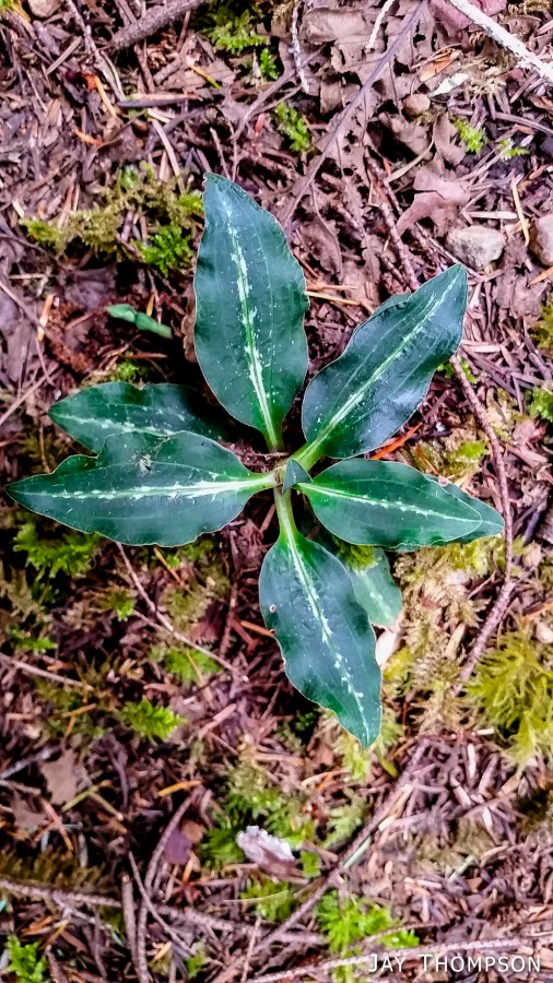
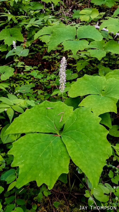
The ridge crest and mountain itself were delightful. Being at such a relatively low elevation, the ridge crest is heavily wooded, however there are still occasional views to be had. Places such as Grouse Meadow, Jasmine's Meadow and Allison's Meadow were filled with several types of Olympic Mountain wild flowers and the views across the valley were pretty nice. Unfortunately for me, the clouds obscured any views of Mt Olympus that I had heard about. Views from the very top of the mountain were not to be, since it is so heavily wooded, but just below the summit at Panorama Point (unsigned but hard to miss), one gets some very nice views down at Lake Crescent.
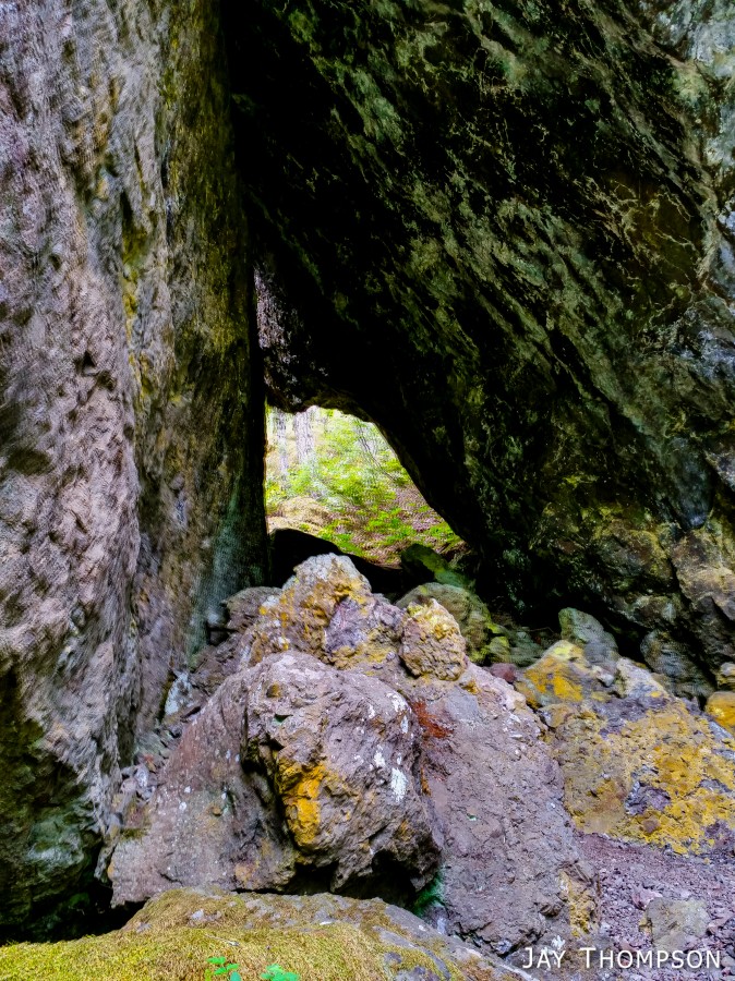
A fun feature of the trail and a welcome place to take a break is at the Fout's Rock House. It is a pair of huge boulders, one leaning on the other to create a sort of shelter. There are various rocks and places to sit.
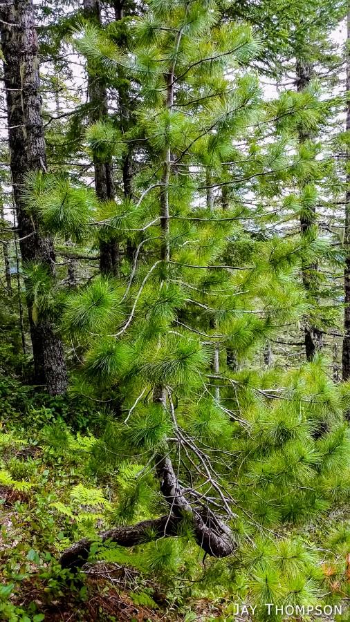
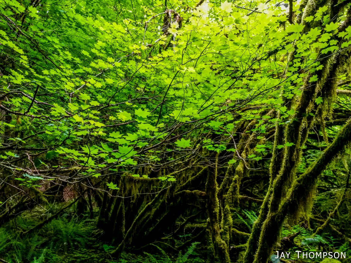
A welcome surprise was the lushly vegetated lower trail that parallels hwy 101. Very green and not at all what I imagined. I guess it shouldn't be a such a wonder considering how close to the rain forest this is.
All in all, I think the hike was nice. I certainly would rather be on the high mountain trails, but when they are still snow bound, Mt Muller gives one some good views, and a not so bad workout too.
Apologies for the poor photo quality. Earlier this year I decided to no longer carry my large DSLR hiking with me. Just too heavy. I did purchase a point and shoot but I have since traded it in for something a little more suited to my tastes. You could say I'm in between cameras right now. All photos on this post were taken with my cell phone.


