Crystal Lakes – Sourdough Gap – Chinook Pass

August 08 2015

This was a shortish hike I did with my friend Cheryl last year. We did this as a dayhike, but since it's so short this would be a great place to try to do on a Friday evening as an overnight if you can get off work early enough. Stay at either the lower or upper lake. They are both sublime. I'll let the pictures do the talking.


Start of the trail
Start of the trail
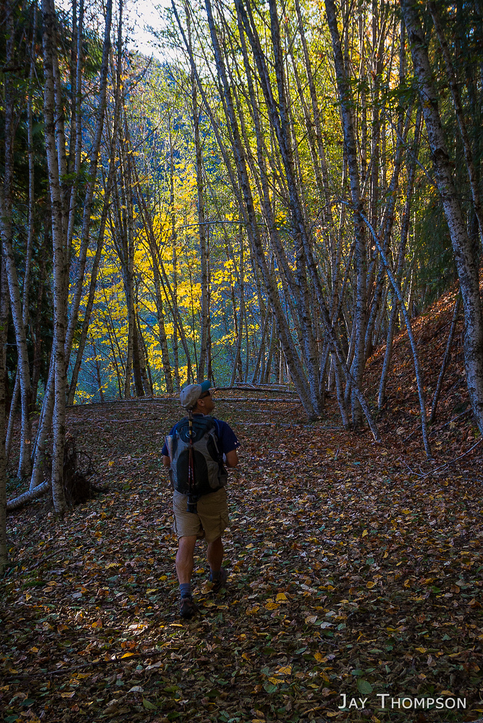
Crystal Lakes trail
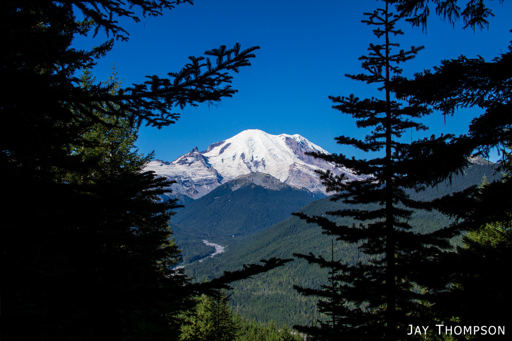
Views of Rainier come quick
Rainier
Rainier
Lower Crystal Lake. There was a couple camp sites right here. Very peaceful place
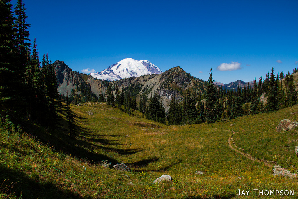
Scenery along the trail. This is the point 6595 on the map
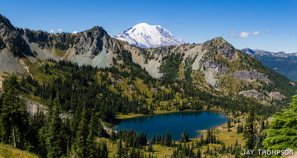
Upper Crystal Lake
Upper Crystal Lake
Continuing on past the lakes and looking back at upper Crystal Lake
Continuing on past the lakes and looking back
The Mountain
Continuing on past the lakes and looking back
Continuing on past the lakes and looking back at upper Crystal With Rainier peeking above the ridge
My Friend Cheryl almost to the first pass on the trail and leaving the National Park
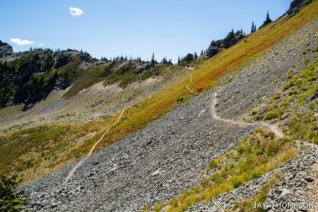
The trail on the right is the crystal lakes trail. The trail downslope on the left is the PCT. The low spot on the ridge is called Sourdough Gap. There was a gaggle of people at the Gap. More in one spot than we had seen all day combined so we did not linger.
PCT junction
Sourdough Gap
Looking SW from the Gap. Sheep Lake below and Chinook Pass in the distance
Mt Adams in the distance
Sheep Lake
Chinook Pass
Sheep Lake
Very Near Chinook Pass looking east at hwy 410. Probably the busiest section of the trail was right here. Tons of people. A lot with dogs and a few of those off leash. I was slightly ahead of Cheryl and I saw movement out of the corner of my eye. It was a big black off leash dog. Oh wait. That's no dog. It was a young black bear and it took off like a shot when it saw me. It seemed an odd place to see a bear as it was between the hwy and the trail when I saw it. Also surprising since there were so many dogs in the area. I didn't have time to get a picture, it took off too fast.
Chinook Pass and Naches Peak
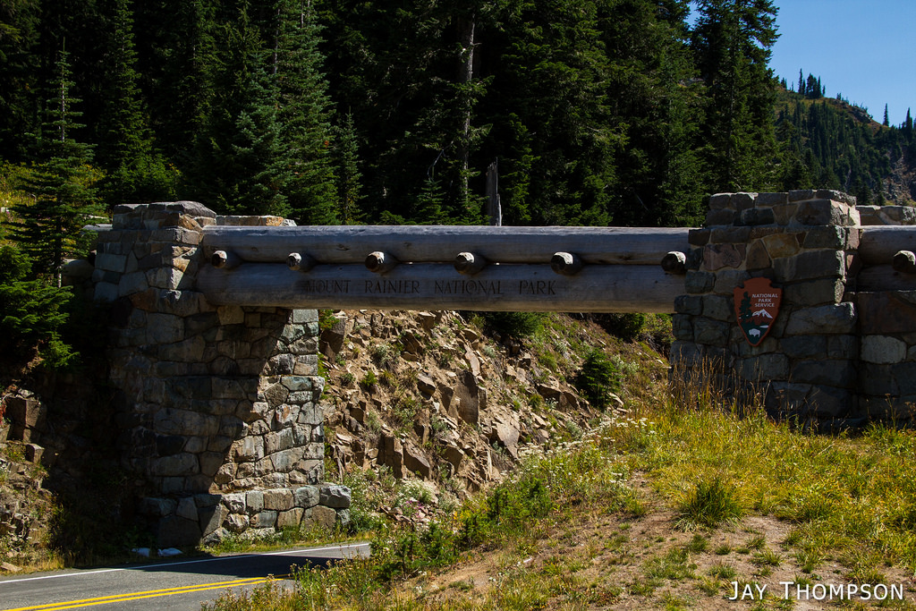
Chinook Pass marks the park boundary, as well as the Pierce and Yakima County line. This is not only a sign but it is also an overpass of sorts since the PCT crosses over it.
Looking back at hwy 410 from Chinook Pass.

Driving Directions (stolen from WTA website)

Follow Highway 410 about 36 miles south of Enumclaw and pass under the arch that marks the boundary of Mount Rainier National Park. Continue on another four miles and be alert for wide parking areas along both shoulders of the highway. There is room for perhaps 20 cars. The trail begins on the east side of the highway, next to Crystal Creek. Signs at the trailhead indicate permits are required for overnight camping, as they are everywhere in the park, but there is no requirement for day-hikers to display a pass in their car.

To do the hike as we did, leave a second car at Chinook Pass which is about 8 miles past the Crystal lakes Trailhead on hwy 410.

Leave a Reply

Your email address will not be published. Required fields are marked *

Click here to Subscribe

Thanks for taking an interest in following me on my adventures. Enter your email address below and click the sign me up button. You should receive a confirmation email momentarily.