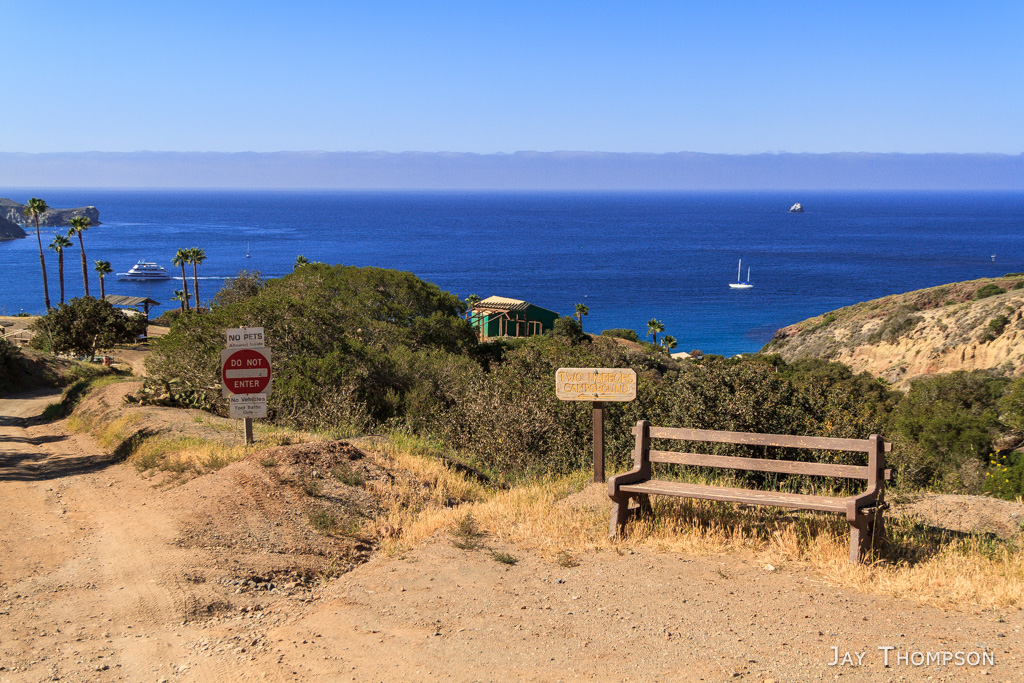
It was a nice night at Black Jack camp. The next morning (day 3) I took my time breaking down camp with the intention of rolling in to the Airport in the Sky for an early lunch. The airport was only 2 miles from camp.
Up to this point, my trip had been pretty good. With the exception of being really hot the previous day, I had no major issues. Today however, my feet were giving me quite a bit of trouble in the way of blisters. I guess I got them the day before but they didn't really bother me too much. Today however, I was really limping along. By the time I got to the airport, I was in quite a bit of pain. I think the main issue was that I had never hiked in the shoes I was wearing and didn't realize they didn't breathe very well. When I got to the airport, I was seriously considering catching a bus to Two Harbors. Unfortunately, the people who run the Two Harbors Visitors Center that handle the bus reservations never answer their phone, so I just said screw it, and hiked out. I was here to hike and that's what I did.
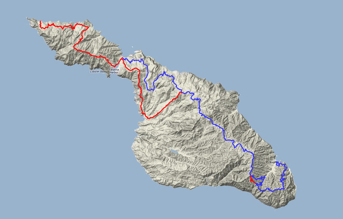
The day before, I had been playing leapfrog on the trail with a couple high school kids (the same ones that took my camp spot at Black Jack). And I ran into them again this afternoon. They were going off the trail and following a road that would bypass the Little Harbor campground by 3 or 4 miles, and a bunch of elevation loss/gain. Since my feet were so tender, I decided to join them. I was able to keep up with them quite a ways, but picture taking opportunities, and my sore feet won out in the end, and before long the guys were out of sight and way ahead of me. No big deal except they went the correct way at an intersection and not thinking properly, I went the wrong way making a hot dusty road walk even longer (see the map below). I totally should have given more thought to my decision, but what can I say? I messed up.
After the longer than expected shortcut, I eventually hobbled into Two Harbors. This day was quite the ordeal.
The next day (day 4) I ended up staying at Two Harbors again. I was supposed to go on in to Parsons Landing this day but my feet told me to stay put. I changed my reservations to stay at Two Harbors another night and ended up doing laundry, eating and just taking it easy.
Day 5 was the shuttle back to Avalon day. I hung out a little in the Two Harbors' laundromat to charge my phone while I waited for the bus. It was one of the only outlets in town I could find. The bus ride was nice since I got to see parts of the island I hadn't seen before. I also got to see some buffalo up close.
Once I got to Avalon, I had to hike up to Hermit Gulch and set up camp. After that I hiked back to town to see the Casino and find out where the zip line tour started from. I also took a tour of the Casino museum. I wanted to take a tour of the Casino itself but they seem to keep odd hours so I missed out on that. I had dinner in town and later hiked back to camp. It sure was a lot of hiking for an off day.
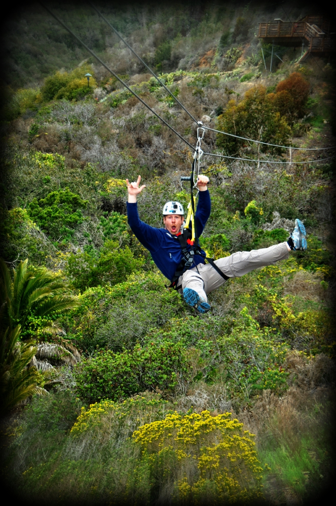
On day 6, after packing up camp and storing my pack with the Avalon Baggage Claim down at the dock, I took the Catalina Island Zip Line Eco Tour (see video below). This was my first time on a zip line, it was quite a bit of fun. Afterwards, I took the ferry back to the mainland and after a mix up with my shuttle to the airport from the dock in San Pedro, I found myself at the airport.
This trip seemed to fly by and I got to see an unique area of the world that ironically, being so close to a major metropolis, few people get to see. If I could do it all again, I would only change a few things.
I would have worn different shoes.
I would have reserved a night at Little Harbor. It's 7 miles between Black Jack and Little Harbor. It would have been nice to have an easier day.
Skip the zip line. It was fun but required a lot of extra time, effort and money. I could have taken a ferry back to San Pedro from Two Harbors instead of doing the shuttle back to Avalon and staying the extra night.
Take a look at the images below for the full story in pictures.
As always, click the images for a larger view with captions. Use left and right arrows on your keyboard to navigate or click the left/right arrows on either side of the image.
Airport in the Sky in view. I took my time breaking down camp at Blackjack because the Airport in the sky was not far away and I wanted a buffalo burger for lunch.TCT. There was pretty decent signage for most of the trail.This is an ancient soapstone quarry near the Airport in the Sky.Welcome!This was a cool little airport.Airport in the SkyI demolished my buffalo burger.Near the Airport in the Sky, I had a little bit of a hard time figuring out where the trail picked back up. You have to go back out on the road and walk down a ways to find it. This is the trail as it starts going down towards Little Harbor right after leaving the airport.Herd of buffalo on the TCTI had to skirt around this herd on the TCT. There was a pond nearby so I'm guessing they stay close to it.At this point, I took a turn off of the TCT in an effort to shave off a bunch of miles and elevation loss/gain. Looking back, I regret my decision, but remembering how bad of shape my feet were in, I would probably do the same thing today if I was out there with that many miles to go. I should have planned on stay at Little Harbor instead of going all the way into Two Harbors from Blackjack. You live and you learn. I later learned that Little Harbor is rated as the best campground on the island.Looking down on Empire Landing from the Empire Landing Road.Looking down on Empire Landing from the Empire Landing Road.So just before this point, I was on Empire Landing Road... I think. I came to an intersection. I could go left or right. Go right and stay closer to the coast but also go up a big hill.... or go left downhill in what looked to be the general direction I wanted to take. I chose the easy way and went left. Man, was that ever a mistake. I ended up going way out of my way (see map below). This is a photo of what I ended up on, Big Springs Road.I did find a nice shade tree and took a break. This lovely cactus was nearby.Little Harbor Road. Yes, it was as hot and dusty as it looks.Is this the mainland or another island?First look at Two Harbors. The TCT continues out to Parson's Landing by going over the mountain in the distance, following the ridgeline most of the way.Wildlife gate on the Little Harbor Road just before Two Harbors.Two Harbors CampgroundI quickly set up camp then walked the road into Two Harbors to have a shower and dinner.I believe this is Ship RockQuaint little bridge in camp near my camp site.Two Harbors camp spot #36. Pretty choice spot, it's not right on the beach however.Sunset from Two HarborsSunset from Two HarborsDay 3 - 13.08 milesDay 5 was spent being lazy. I was actually supposed to continue on the trail this day to Parson's Landing but with the condition my feet were in, I was going nowhere. I did make it to town for another shower, do laundry and have lunch and dinner however. Today was a rest day for me. This image is from the trail going into Two Harbors from the campground. BTW, I had to cancel my Parson's reservation and book another night at Two Harbors. This can be done at the Two Harbors Visitors Services office in Two Harbors. They were very nice. I was surprised anyone was there because they never seem to answer their phone for some reason.Catalina Cruises boat.Bird RockWalking back to camp.Setting sun on my way back to campTwo Harbors at night.I'm not sure what this is. I'm guessing someone planted it. If you know what it is, please leave a comment. Thanks!Last day in Two Harbors. I plugged my phone in at the Landromat again and looked around while I waited for the Safari Bus.Two Harbors Yacht ClubSince I was here and it was my last day, I walked across the isthmus to see the other harbor. I got to this point and said "OK I saw it" and turned around.So this is where the trail is.... Residents housing in the background.Parts of Two Harbors had a run-down kind of look, such as this dirt basketball court. Some of the local's housing was in the same shape.This is the Two Harbors one room schoolhouse.After a short wait, the Safari bus arrived. It wasn't exactly what I was expecting, but it got us where we needed to go. The ranger that takes care of Little Harbor, Two Harbors and Parson's Landing campgrounds was our driver as he was filling in for the regular driver.We drove by Little Harbor. It was nice to see it since I had skipped it on my hike.Little HarborWe drove right up to some bison that were next to the road. Fun to see them up close.The flys were all over them.To escape the pests, this guy started rolling around on the ground.Impressive animals. Very big.After we got to Airport in the sky, I had to change over to a bigger bus that operates on the Avalon side of the Island. This is the main shuttle for taking people between the Airport in the sky and Avalon and apparently runs more regularly that the Safari Bus. There were some good views of Avalon on this bus. The main ridgeline going down in this picture is the road. I think the trees were planted along it to act as a sort of guardrail.Almost to town. You can see the Inn on Mt. Ada across the harbor near the top of the hill. The Inn is the house that William Wrigley Jr. built his wife Ada in 1920 - 1921. He chose the setting because it received first sun in the morning and the last rays at sunset. The TCT starts on the Renton Mine Rd just past the Inn. It seemed like so long ago that I hiked past it.After arriving in town, I hiked up to Hermit Gulch and set up camp. I then hiked back down to see the Casino up close and to find out where I needed to be for the zip line tour.Part of the paved walk to the CasinoThe CasinoLooking at the Casino from Descanso Beach Club area.Descanso Beach ClubThe CasinoAvalon HarborA typical Catalina Island Steet and some of its many golf carts - the main form of transportation for the town's residents.Parting shot. This photo cost me 17 dollars, I hope it is worthy, LOL. This is a Zip Line Eco Tour photo.The 37.2 mile Trans Catalina Trail. Blue is the route I took. Red is the official trail.
Panorama from trail
Panorama from trail
Click on the images below for larger sizes with captions. Use left and right arrows on your keyboard to navigate or click the left/right arrows on either side of the image. This is the full album with some images not included above.
Airport in the Sky in view. I purposely got to a late start to the day so I could enjoy a Buffalo burger at the airport.
TCT
TCT
This area right before climbing up to the airport almost had an oasis feel to it but, I didn’t see any water.
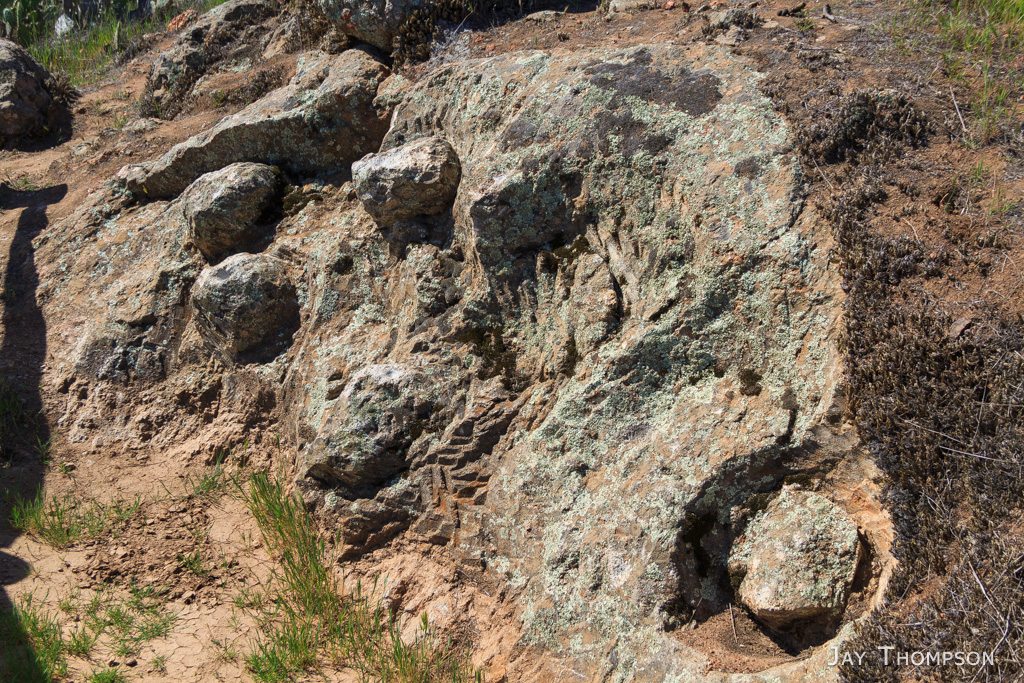
This is an ancient soapstone quarry near the Airport in the Sky.
Soapstone Quarry
Soapstone Quarry
Soapstone Quarry
Airport in the Sky
TCT and Soapstone Quarry trails near the airport
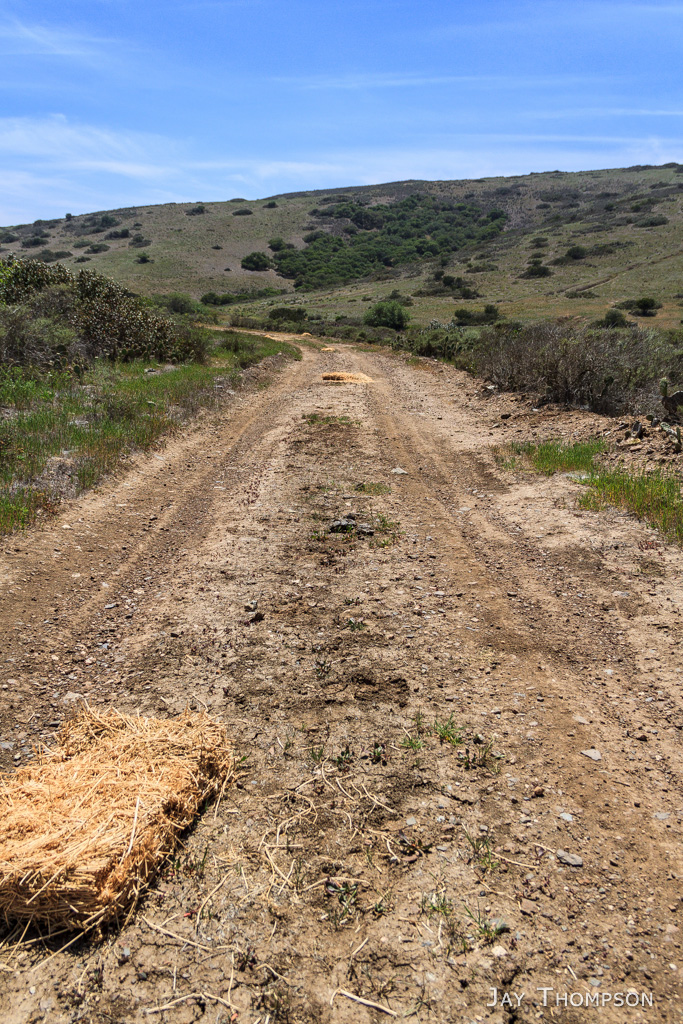
El Rancho Escondido Rd
Welcome!
Airport in the Sky
Airport in the Sky
Airport in the Sky
Airport in the Sky
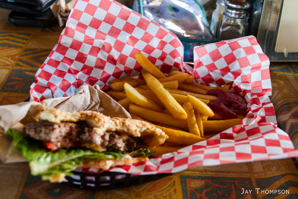
Buffalo Burger at Airport in the Sky
Buffalo Burger at Airport in the Sky
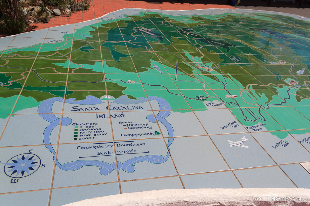
Large map at Airport in the Sky
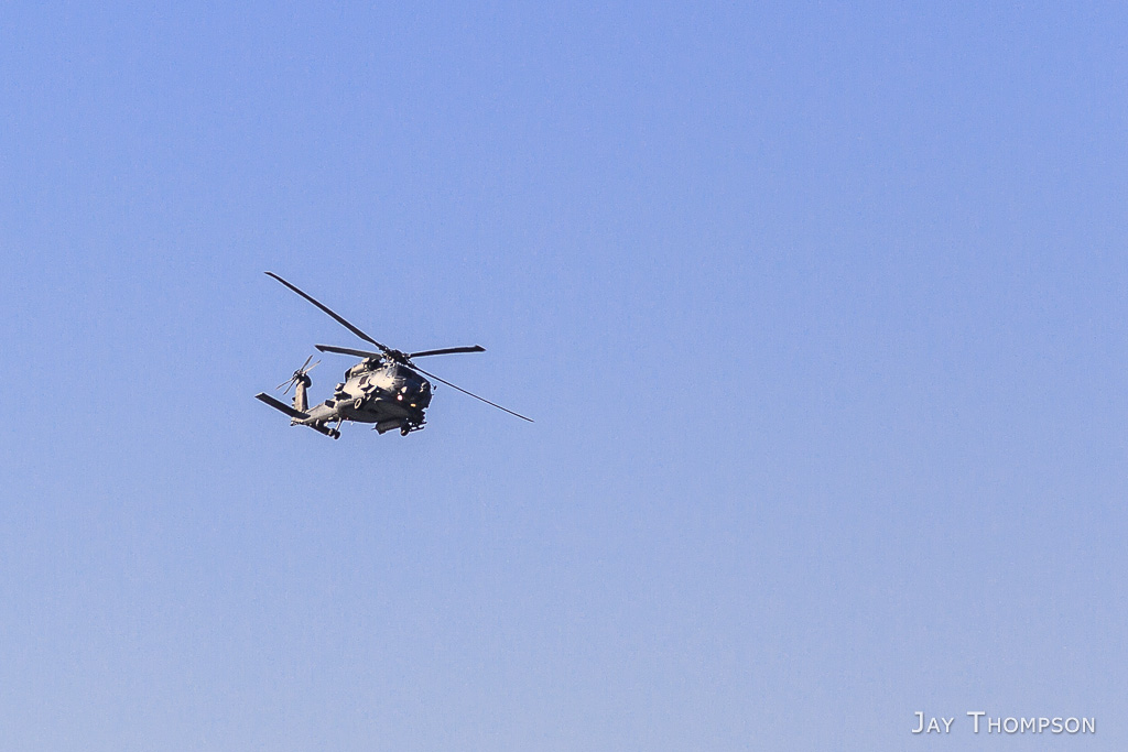
I would see this helicopter several times over the next couple of days. I believe it patrols the Catalina shoreline. I could be off on this one but that’s what it appeared to be doing when I saw it fly over Two Harbors a few times.
Near the Airport in the Sky, I had a little bit of a hard time figuring out where the trail picked back up. You have to go back out on the road and walk down a ways to find it. This is the trail as it starts going down towards Little Harbor right after leaving the airport.
Herd of buffalo on the TCT
I had to skirt around this herd on the TCT. There was a pond nearby so I’m guessing they stay close to it.
Buffalo Springs Reservior
At this point, I took a turn off of the TCT in an effort to shave off a bunch of miles and elevation loss/gain. Looking back, I regret my decision, but remembering how bad of shape my feet were in, I would probably do the same thing today if I was out there with that many miles to go. I should have planned on stay at Little Harbor instead of going all the way into Two Harbors from Blackjack. You live and you learn. I later learned that Little Harbor is rated as the best campground on the island.
Looking down on Empire Landing from the Empire Landing Road.
Looking down on Empire Landing from the Empire Landing Road.
Looking down on Empire Landing from the Empire Landing Road.
Looking down on Empire Landing from the Empire Landing Road.
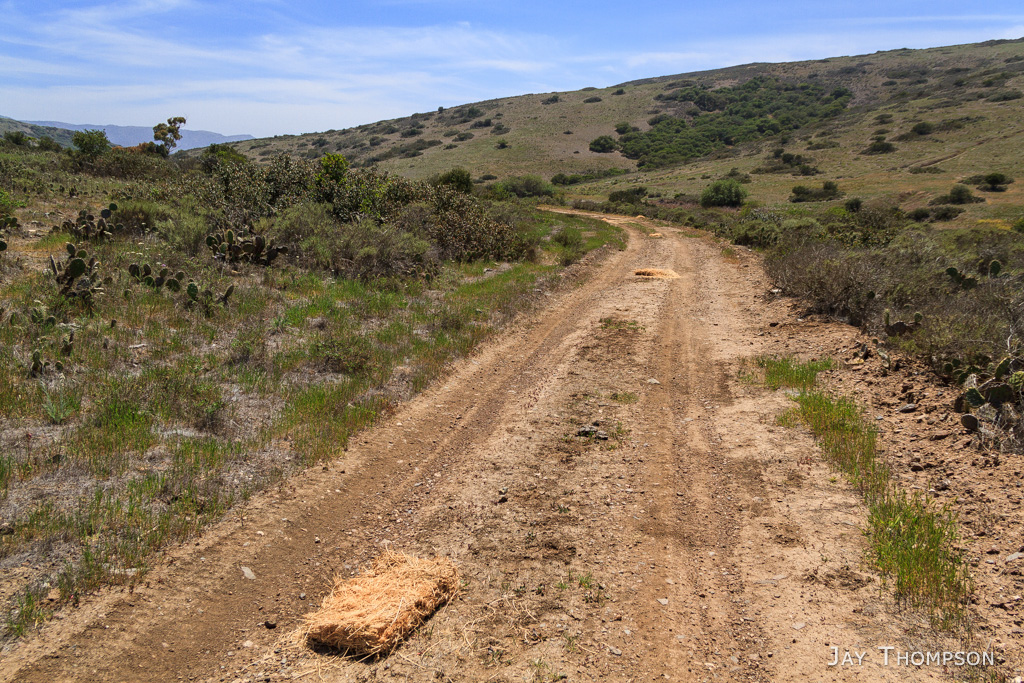
So just before this point, I was on Empire Landing Road… I think. I came to an intersection. I could go left or right. Go right and stay closer to the coast but also go up a big hill…. or go left downhill in what looked to be the general direction I wanted to take. I chose the easy way and went left. Man, was that ever a mistake. I ended up going way out of my way (see map below). This is a photo of what I ended up on, Big Springs Road.
So just before this point, I was on Empire Landing Road… I think. I came to an intersection. I could go left or right. Go right and stay closer to the coast but also go up a big hill…. or go left downhill in what looked to be the general direction I wanted to take. I chose the easy way and went left. Man, was that ever a mistake. I ended up going way out of my way (see map below). This is a photo of what I ended up on, Big Springs Road.
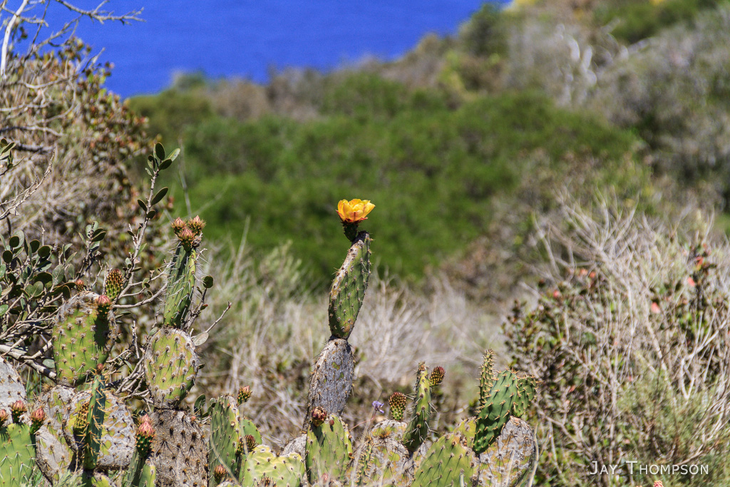
I did find a nice shade tree and took a break. This lovely cactus was nearby.
I did find a nice shade tree and took a break. This lovely cactus was nearby.
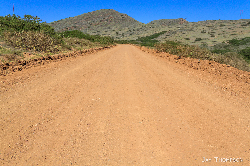
Little Harbor Road. Yes, it was as hot and dusty as it looks.
Is this the mainland or another island?
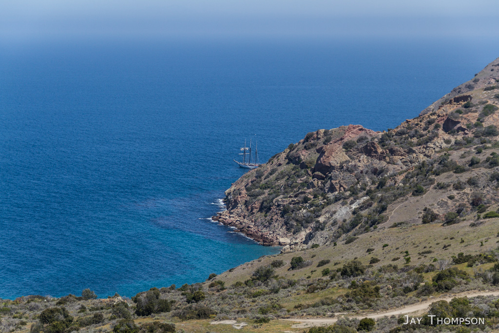
First look at Two Harbors. The TCT continues out to Parson’s Landing by going over the mountain in the distance, following the ridgeline most of the way.
Wildlife gate on the Little Harbor Road just before Two Harbors.
Two Harbors Campground
Two Harbors Campground
Making its rounds…
Two Harbors
I quickly set up camp then walked the road into Two Harbors to have a shower and dinner.
Looking over the cliff down to the water
I believe this is Ship Rock
Quaint little bridge in camp near my camp site.
Two Harbors camp spot #36. Pretty choice spot, it’s not right on the beach however.
Sunset from Two Harbors
Sunset from Two Harbors
Day 5 was spent being lazy. I was actually supposed to continue on the trail this day to Parson’s Landing but with the condition my feet were in, I was going nowhere. I did make it to town for another shower, do laundry and have lunch and dinner however. Today was a rest day for me. This image is from the trail going into Two Harbors from the campground. BTW, I had to cancel my Parson’s reservation and book another night at Two Harbors. This can be done at the Two Harbors Visitors Services office in Two Harbors. They were very nice. I was surprised anyone was there because they never seem to answer their phone for some reason.
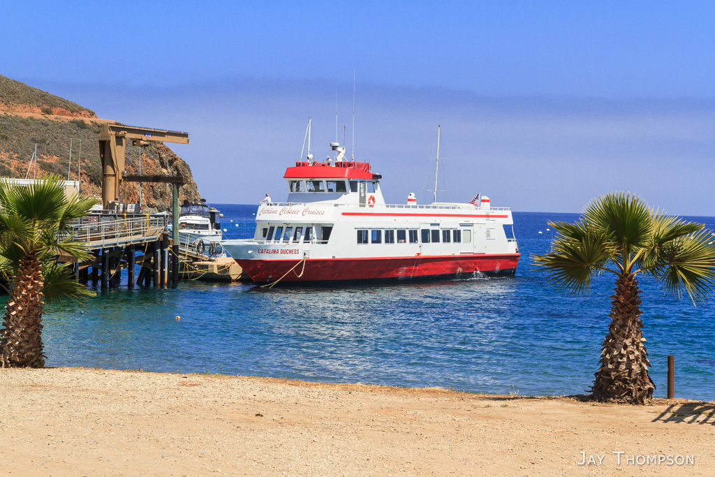
Catalina Cruises boat.
I looked all over town for a place to charge my phone. Luckily there was a spot in the laundromat to plug it in. I ended up coming back and sitting here for an hour reading a book so I could charge it. There is also a plugin under the condiments bar in the Harbor Reef lunch counter. I asked and they had no problem with me plugging in my phone while I ate.
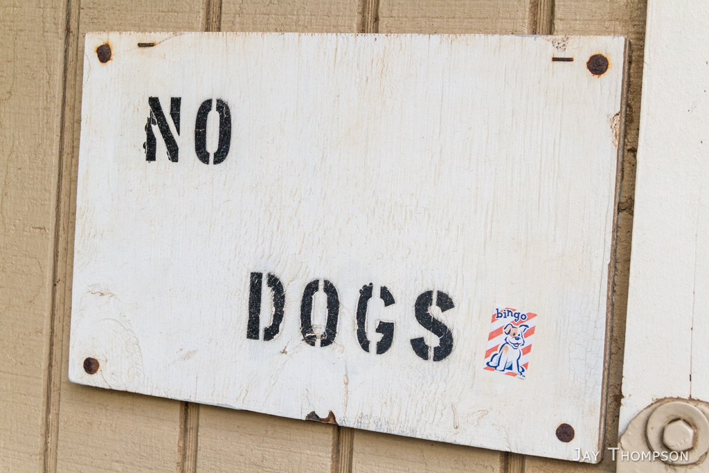
No dogs in the restrooms, except for Bingo here.
Bird Rock
Walking back to camp.
Setting sun on my way back to camp
Walking back to camp.
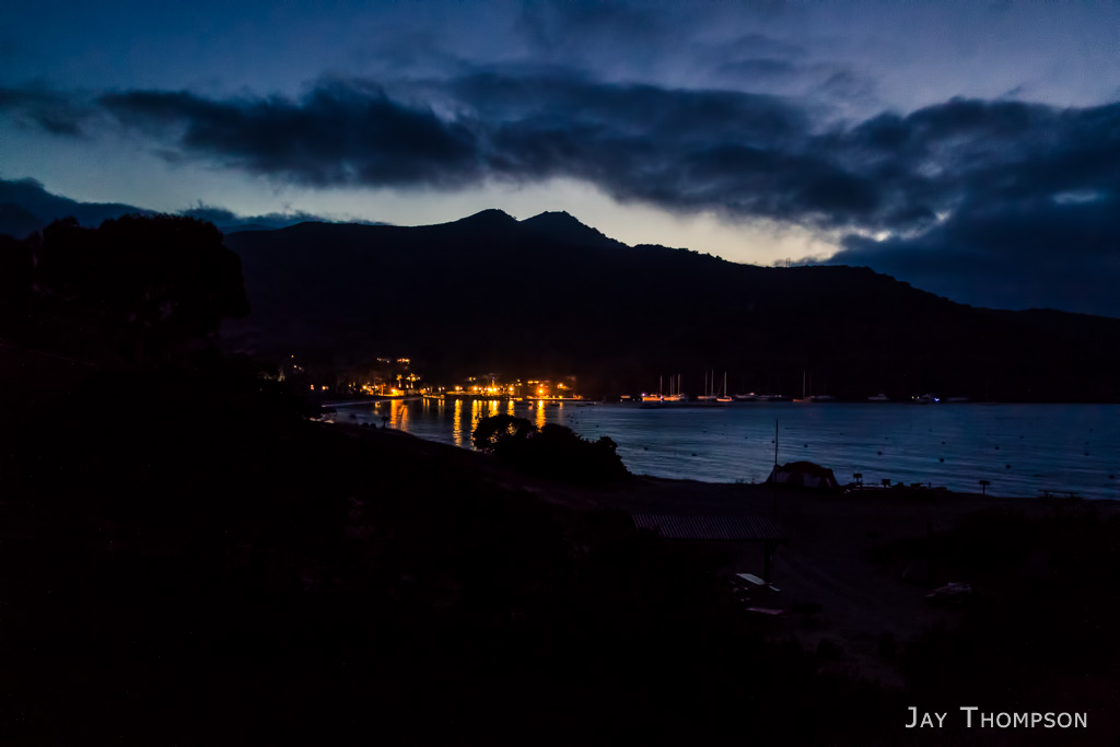
Two Harbors at night.
I’m not sure what this is. I’m guessing someone planted it. If you know what it is, please leave a comment. Thanks!
I’m not sure what this is. I’m guessing someone planted it. If you know what it is, please leave a comment. Thanks!
Last day in Two Harbors. I plugged my phone in at the Landromat again and looked around while I waited for the Safari Bus.
Two Harbors Yacht Club
Since I was here and it was my last day, I walked across the isthmus to see the other harbor. I got to this point and said “OK I saw it” and turned around.
So this is where the trail is…. Residents housing in the background.
Parts of Two Harbors had a run-down kind of look, such as this dirt basketball court. Some of the local’s housing was in the same shape.
This is the Two Harbors one room schoolhouse.
After a short wait, the Safari bus arrived. It wasn’t exactly what I was expecting, but it got us where we needed to go. The ranger that takes care of Little Harbor, Two Harbors and Parson’s Landing campgrounds was our driver as he was filling in for the regular driver.
We drove by Little Harbor. It was nice to see it since I had skipped it on my hike.
Little Harbor
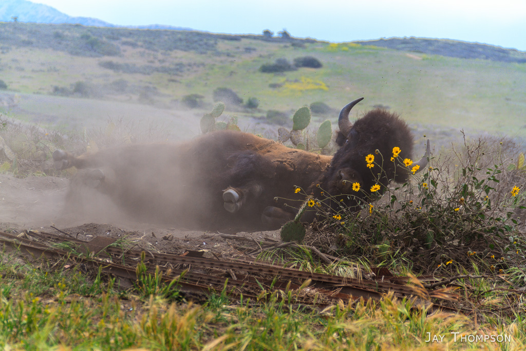
We drove right up to some bison that were next to the road. Fun to see them up close.
The flys were all over them.
To escape the pests, this guy started rolling around on the ground.
Impressive animals. Very big.
The flys were all over them.
Impressive animals. Very big.
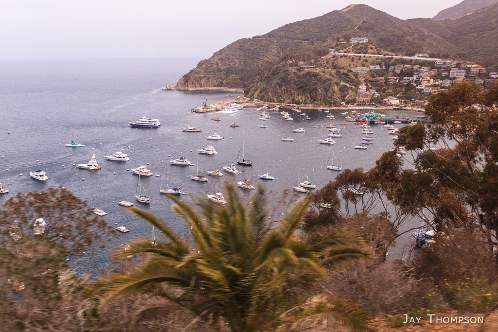
After we got to Airport in the sky, I had to change over to a bigger bus that operates on the Avalon side of the Island. This is the main shuttle for taking people between the Airport in the sky and Avalon and apparently runs more regularly that the Safari Bus. There were some good views of Avalon on this bus. The main ridgeline going down in this picture is the road. I think the trees were planted along it to act as a sort of guardrail.
Almost to town. You can see the Inn on Mt. Ada across the harbor. The Inn is the house that William Wrigley Jr. built his wife Ada in 1920 – 1921. He chose the setting because it received first sun in the morning and the last rays at sunset. The TCT starts on the Renton Mine Rd just past the Inn. It seemed like so long ago that I hiked past it.
A preview of the zin line tour
Almost to town. You can see the Inn on Mt. Ada across the harbor. The Inn is the house that William Wrigley Jr. built his wife Ada in 1920 – 1921. He chose the setting because it received first sun in the morning and the last rays at sunset. The TCT starts on the Renton Mine Rd just past the Inn. It seemed like so long ago that I hiked past it.
The Casino
Part of the paved walk to the Casino
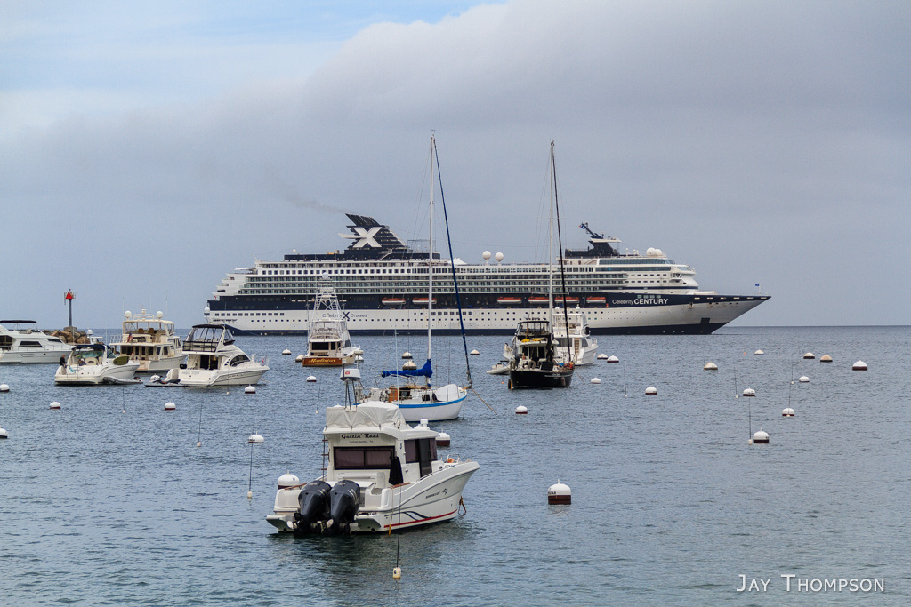
Celebrity Cruise Ship
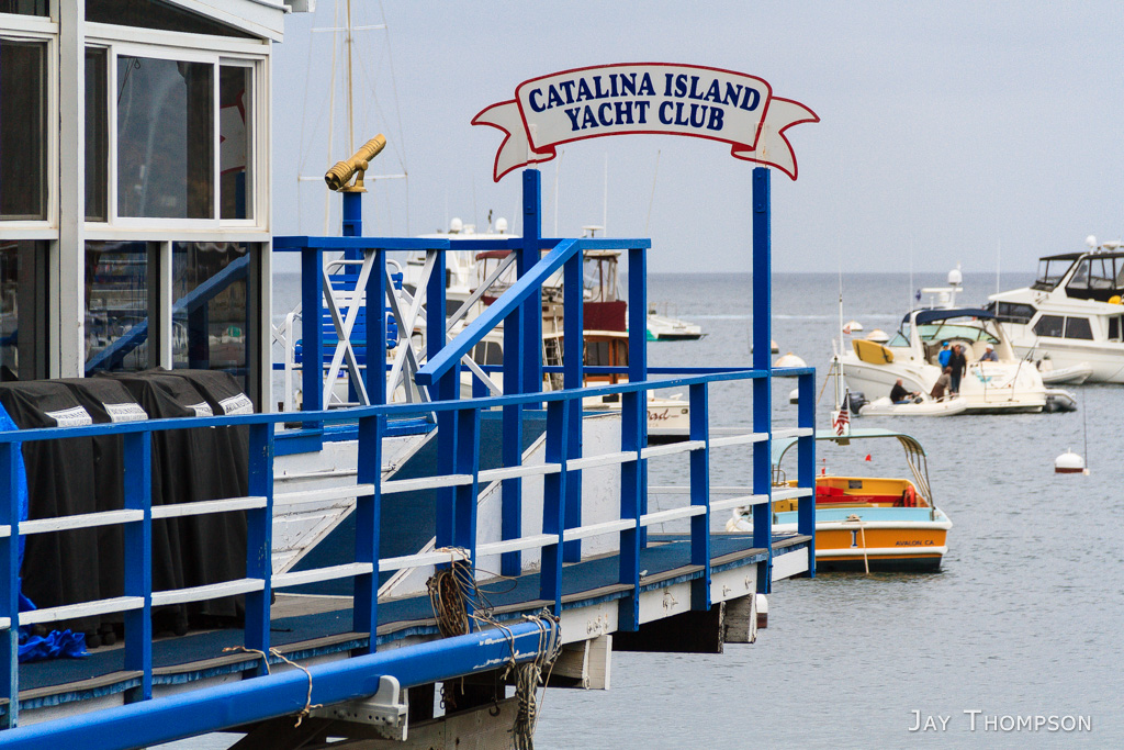
Catalina Island Yacht Club
The Casino
The Casino
Looking at the Casino from Descanso Beach Club area.
Descanso Beach Club
The Casino
Avalon Harbor
Public showers right in town
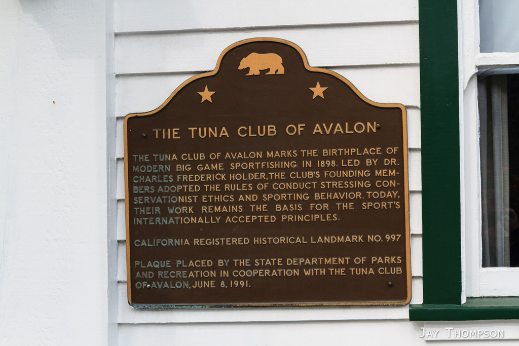
Tuna Club
This was in an Italian restaraunt in town
A typical Catalina Island Steet and some of its many golf carts – the main form of transportation for the town’s residents.
Some island activities you can do
Catalina Island Ranger
True Love….
These old timers have been around a while. I haven’t seen a blue California license plate in some time,
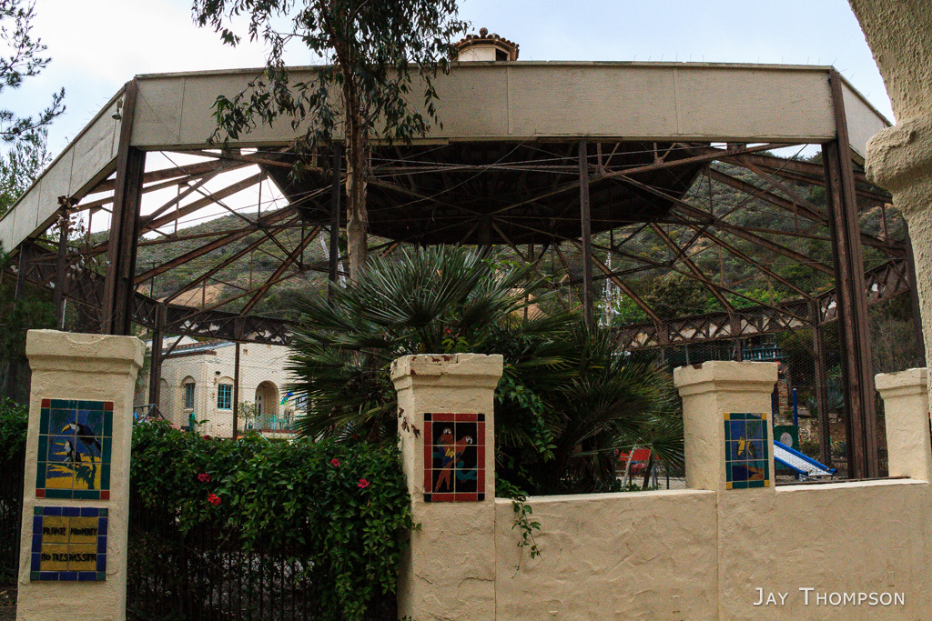
The Bird Park Apartments are on the way out to Hermit Gulch Campground. Yes, it really was a bird park at one time.
The courtyard of the Bird Park Apartments. Looks like it was a big aviary.
The Avalon Canyon Nature Center. The sign on the door said it closed at a specific time. That time had not arrived yet by half an hour but the door was locked already.
Parting shot. This photo cost me 17 dollars, I hope it is worthy, LOL. This is a Zip Line Eco Tour photo, touched up a little by me.
http://www.visitcatalinaisland.com/ Santa Catalina Island Company's website. Lots of useful things about Catalina Island on this site. Go here to book the safari bus, zip line tours, and to get camp permits for each camp spot. Many links to hotels, restaraunts, activities and rentals.
http://www.catalinaconservancy.org/index.php You will need to visit this site to get your hiking permit. Skip the conservancy's phone app. It's kind of lame if you are planning on using it for the TCT as most of the trail doesn't even show up on it. Instead, get the All-Trails app and load SoCal Hiker's guide into it. Much better.
The Catalina Conservancy also has a map you can download in PDF form. http://www.catalinaconservancy.org/userfiles/files/maps/TCT.pdf You can also purchase the physical paper map at the Conservancy Explore Store in Avalon, Wrigley Memorial & Botanic Garden, Nature Center at Avalon Canyon and Airport in the Sky.
I saw this video while writing this blog post. This was filmed the month before I was down there. Great video representing the TCT and nice to know I wasn't the only one who suffered hiking it.
Be sure to check out the Motion web page for all of Greg Aiello's videos. He has some amazing adventures to share.
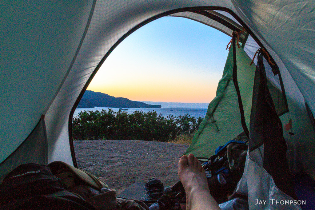 It was a nice night at Black Jack camp. The next morning (day 3) I took my time breaking down camp with the intention of rolling in to the Airport in the Sky for an early lunch. The airport was only 2 miles from camp.
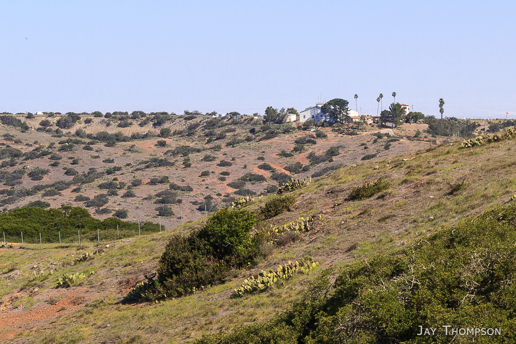


The plant is iceplant, its from South Africa and is planted all over SoCal, pretty and drought tolerant.
Thanks Regina! I knew someone would know what it is!