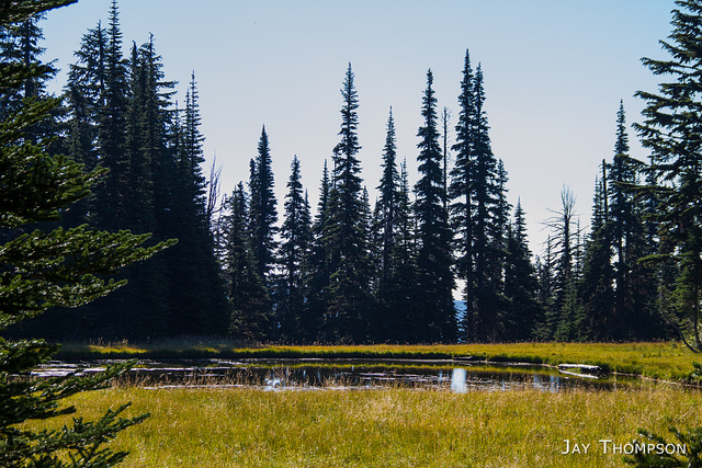
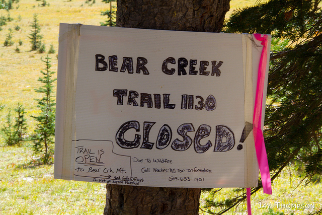
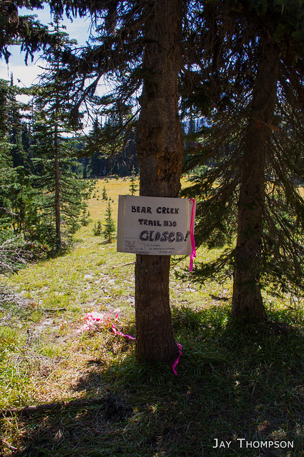
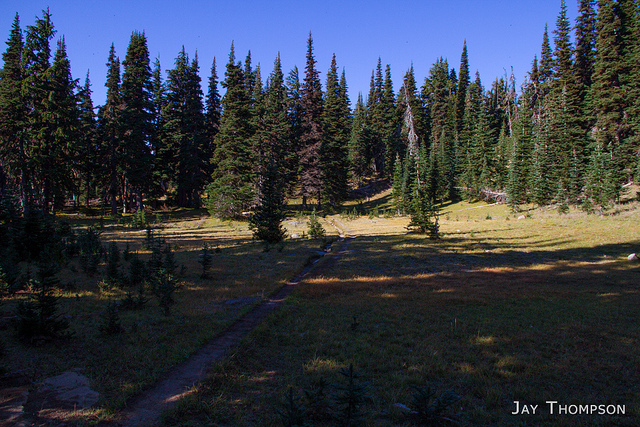
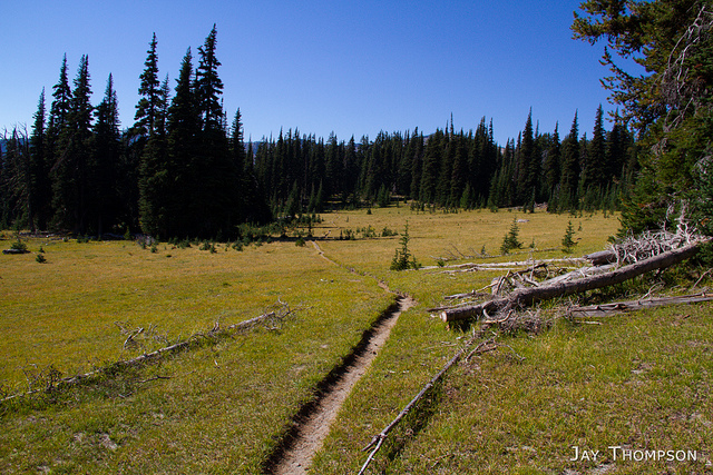
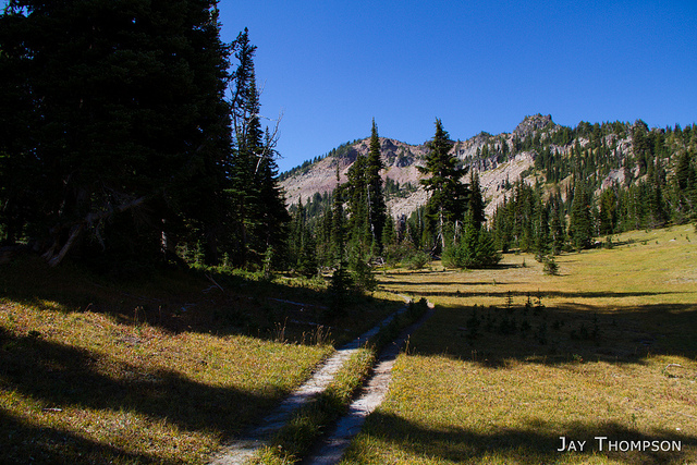
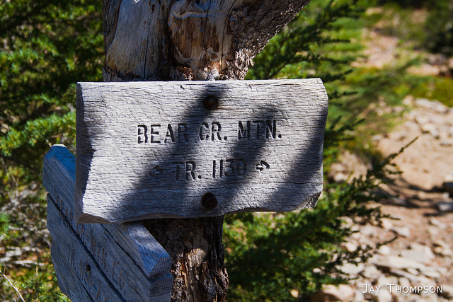
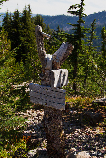
Due to an oversight, I'm writing this post about a year an a half after the fact so I can't quite remember all the details. I do remember getting up not particularly early to drive the 3+ hours to the trailhead to hike Bear Creek Mountain. The last part of the road going up to the trailhead was in pretty miserable shape but I managed to get there somehow in my sedan without any issues. There were several vehicles at the trailhead when I got there. The trail itself had some signs with some ambiguous closure language detailing a fire and to call the Naches ranger district for information. It didn't look as though this trail closure was stopping anyone else and I neither smelled nor saw any smoke on my drive down. I had come too far to turn around at this point so I went for it. On the trail I got turned around somehow and started going downhill several hundred feet of elevation towards Tieton Meadows before I realized my mistake and turned around. Between the Tieton junction and the climb to the summit I didn't see anyone, but on the return, I saw several hikers and a bunch of bow hunters, one spooking me a bit as he did an elk call.
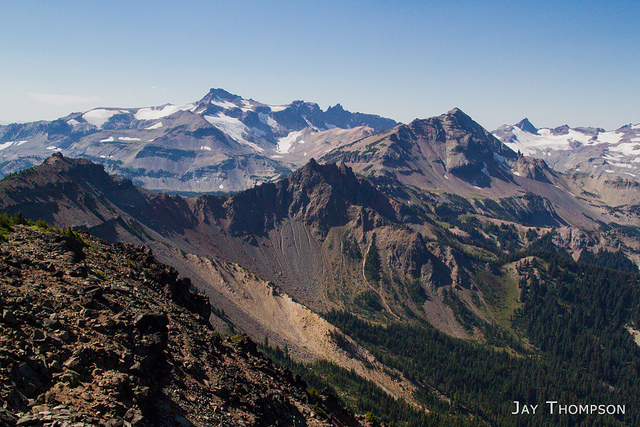
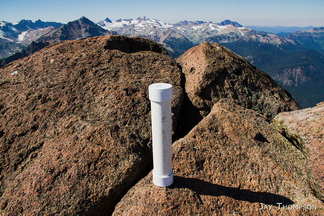
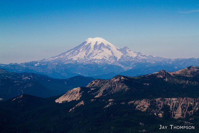
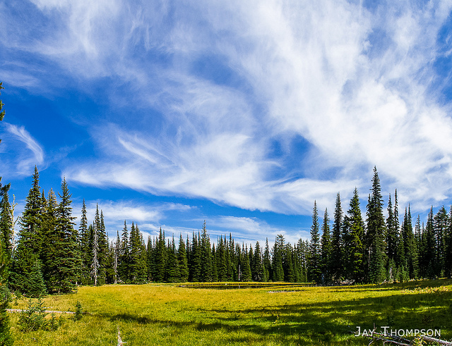
Now I had heard that Bear Creek Mountain was an amazing hike, but in all honesty, I wasn't all that impressed with it. Sure there were some pretty fantastic views from the summit. If you have never seen the Goat Rocks, I guess it would be worthy, but after backpacking the PCT through the Goat Rocks, I couldn't see how Bear Creek Mountain could compare. Bear Creek Mountain is east of the crest enough to feel like it is in a very arid and dry region. The hike I did was pretty easy as most the elevation gain was done in the car and the trail itself mostly follows a ridgeline until the final thousand foot summit push. Perhaps if I had hiked from Tieton Meadows or even Conrad Meadows, I would have felt more accomplished on this hike but honestly, Bear Creek Mountain left me feeling kind of meh.


Driving Directions to Bear Creek Mountain's Section 3 Lake Trailhead (Taken from forest service website): From Packwood, WA take US-12 E for 27.5 miles and turn right on Forest Road 1200 (Tieton Reservoir Road) and follow for about 3 miles then take a left to stay on Forest Road 1200 to drive around Clear Lake and follow for 2 miles. Then go right on Forest Road 1205 and follow for 2.7 miles. Turn left on Forest Road 742 and take a slight right on Forest Road 1204 and follow Forest Road 1204 about 6 miles to the trailhead.
Note, Last 6 miles of road are pretty rough.
Hiked 2013-09-14
