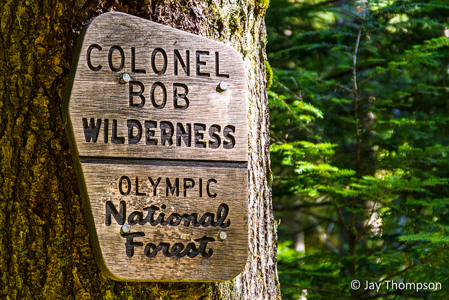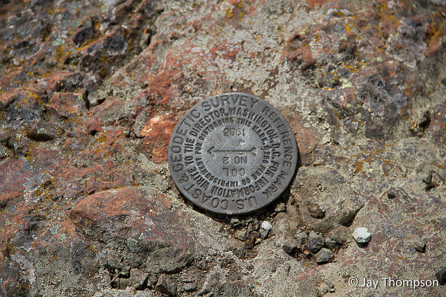
Colonel Bob Peak, Mount Colonel Bob, Colonel Bob Mountain, or simply, Colonel Bob. It has always been of interest to me to climb this peak that is named after civil war veteran Colonel Robert G. Ingersoll who never once set foot in the Olympic Mountains, let alone this peak. Ingersoll, who was noted as a Civil War veteran and a public speaker apparantly made a big impression on the early pioneers of this area of the peninsula who named this interesting peak after him.
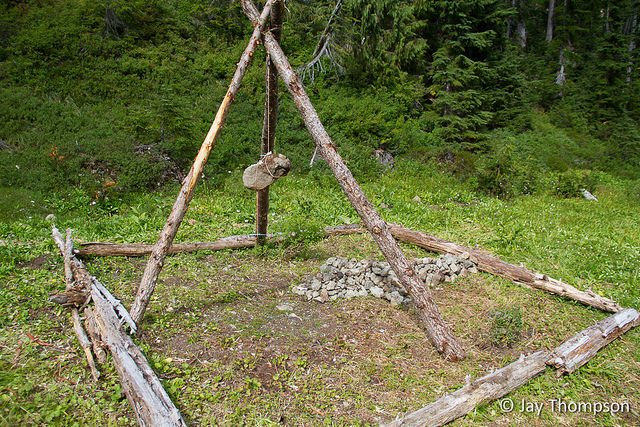
I took a day off work mid-week after Labor Day to hike up the mountain via Upper Petes Creek trail. The trail starts near the 1000 foot elevation level and is forested most of the way to the top, although there are some openings that start about midway up revealing views to the south of the Humptulips river valley and surrounding peaks. At around the 3300 foot level the trail intersects and becomes the Colonel Bob trail. At the time I was here, the lower part of the Colonel Bob trail which starts on the Lake Quinault side of the mountain had been closed for a few years due to an impenetrable tangle of trees that were blown over during a big storm. The Upper Petes Creek Trail was in good shape all the way up to the Colonel Bob trail, and the remaining portion of the Colonel Bob trail to the top was also in fine condition. Back on the trail, at around 3700 foot level it enters a semi-flat area known as moonshine flats. There are places here and there where one can pitch a tent. In one area on the way up, someone had erected an odd sort of memorial. Doing a search of the name of the person on the picture at the memorial reveals he "was very active and loved taking very daring risks". It doesn't take much imagination to guess what might have happened. What the odd tripod memorial with the rock hanging from it represents, one can only imagine.
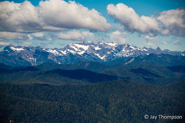
Shortly after Moonshine flats, the trail again starts to climb making the final ascent of the mountain. After about 400 feet of elevation, the trail stops at the base of the summit block. After a short 100 foot scramble up a rock face, you'll finally be on the top. The views all around are very impressive. To the west is Lake Quinault. To the north is Mt Olympus and all the Olympic Mountains in between. To the south-east is Rainier. To the south-west lies the Quinault Ridge which is an impressive looking ridge that looks like it has been squished like an accordion. The views just go on an on.
After having lunch at the top, I decided to call it a day and started the journey back to the car at the trailhead. On the way down I passed a fella on his way up. Other than a tent I could see from the top of the mountain while looking down upon Moonshine flats, he was the only person I saw all day on this post labor day hike.


Use maps at your own risk. Maps for research purposes only.
Track below is one way distance.

My husband and I hiked Col Bob a couple of years ago. When we got to the top, it was so clouded in, we never saw a thing – so I especially enjoyed your beautiful photos of the views from the summit! And that memorial is wicked cool (was not there when we went through).
Thanks Laurie. It was a fantastic hike!