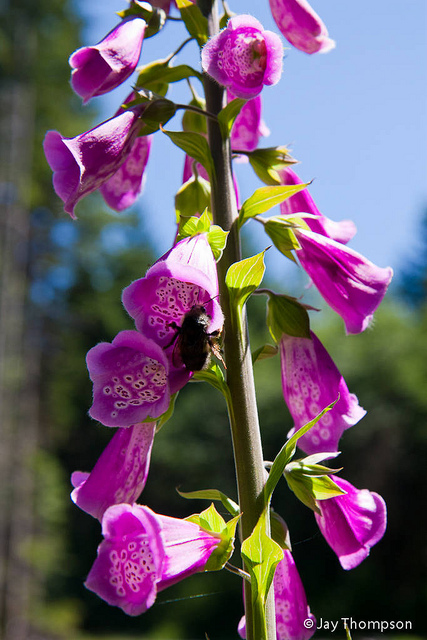
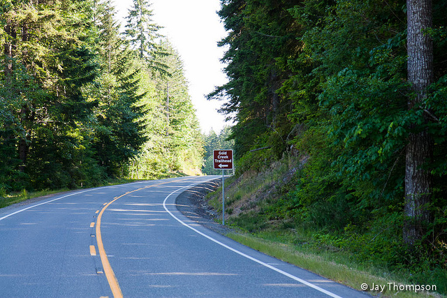
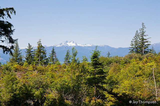
I was supposed to hike the North Fork Skokomish over First Divide and out the Duckabush this weekend. Lingering snow in the upper elevations and prior commitments were cutting my 3 day weekend short so I decided to stay local. My favorite option to stay local and still get a few miles in is Green Mountain.
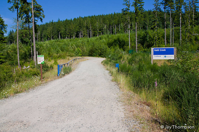
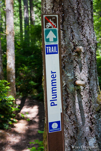
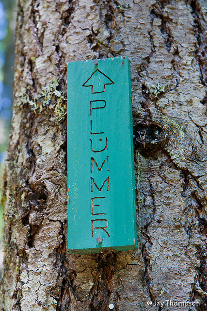
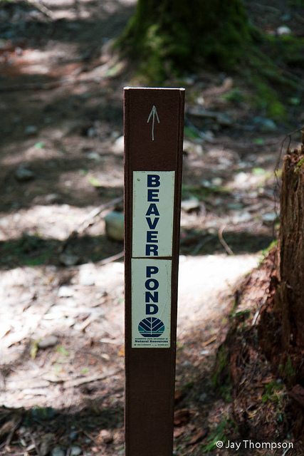
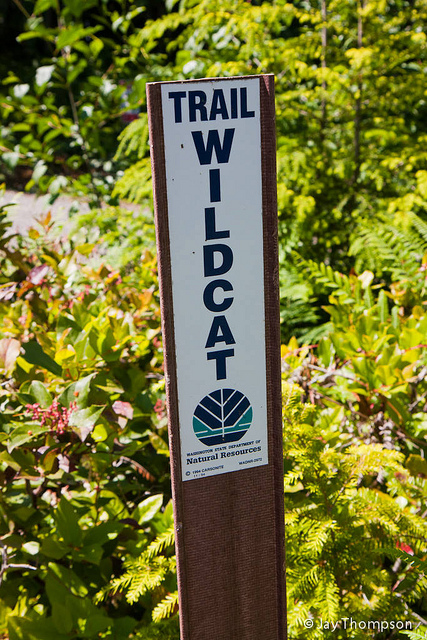
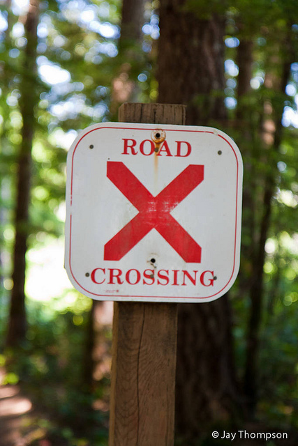
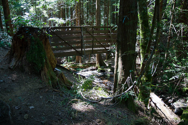
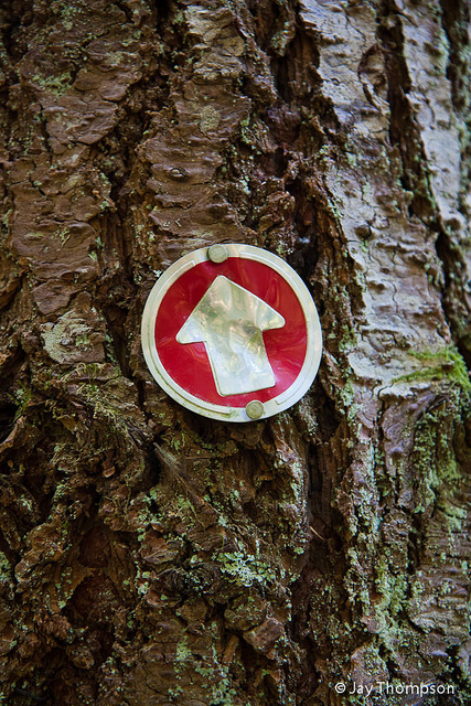
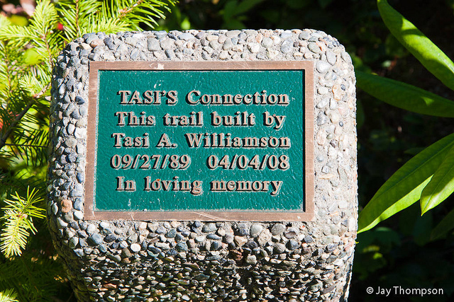
I have been working on a wiki style field guide for my hiking club and I needed to record some info from some of the lesser known trails on Green Mountain. I brought along my gps and recorded tracks for the Plummer Trail, Beaver Pond Trail, Powerline Trail, Wathora Trail and a trail I didn't even know existed called Tasi's Connection Trail. All in all, a fun, not too strenuous hike with some variety I usually don't get when hiking Green Mountain.
If you are curious about the work I am doing on my club's website as far as the wiki/field guide goes, you can see the field guide here - http://www.pwckitsap.org/fieldguide/ or for the Green Mountain part in particular - http://www.pwckitsap.org/fieldguide/Green-Mountain. The Field Guide is a work in progress. Suggestions to make it better are always welcome.


Trails and roads of Green Mountain. Click trails for their names.
