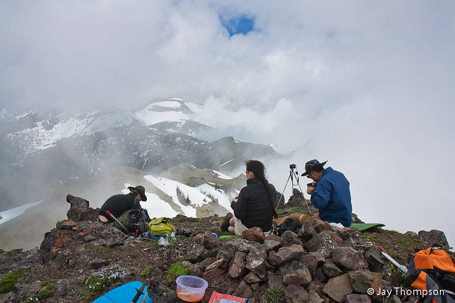
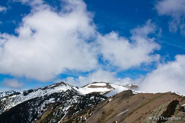
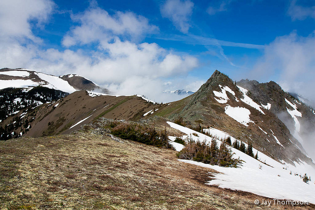
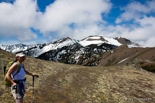
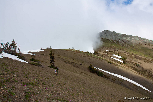
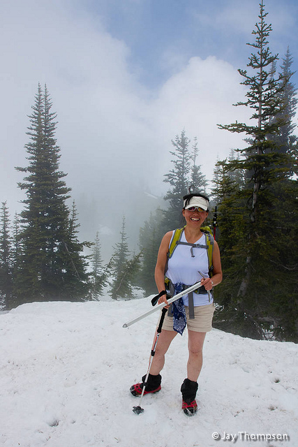
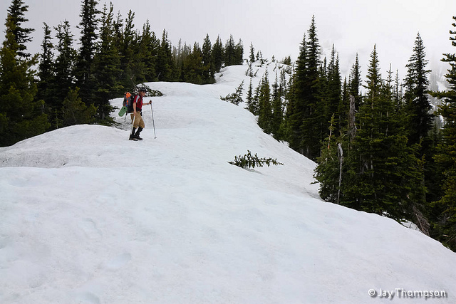
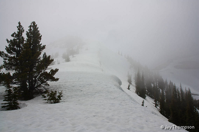
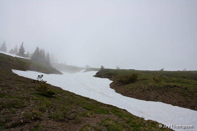
Four of us, Soon, Paul, Isaac and myself, went up the Tyler Peak trail on Sunday June 26 2011. We did a loop, first summiting Tyler Peak where we had lunch. Afterwards, we worked ourselves across the ridge towards Baldy. When we reached the point that drops down towards the Maynard Burn trail, Isaac and Paul decided to try to summit Baldy while Soon and I stayed behind and relaxed for a bit. We gave them an hour to summit and return but I think the snow slowed them down. Thick clouds also covered the summit when they neared and discouraged them from continuing on since the views would be limited.
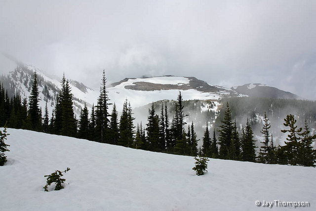
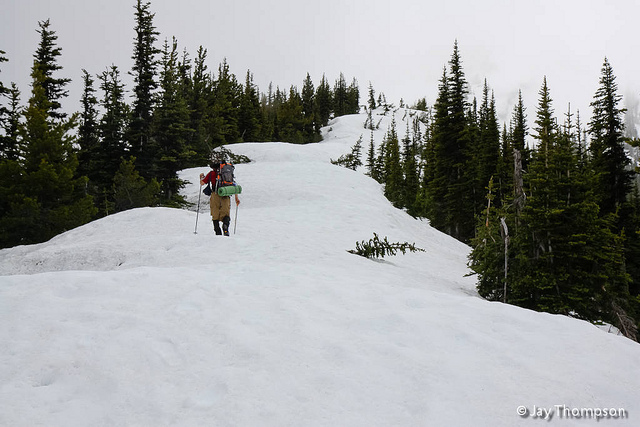
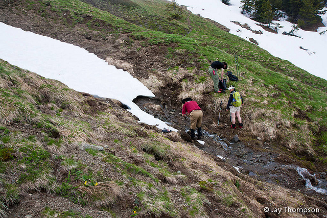
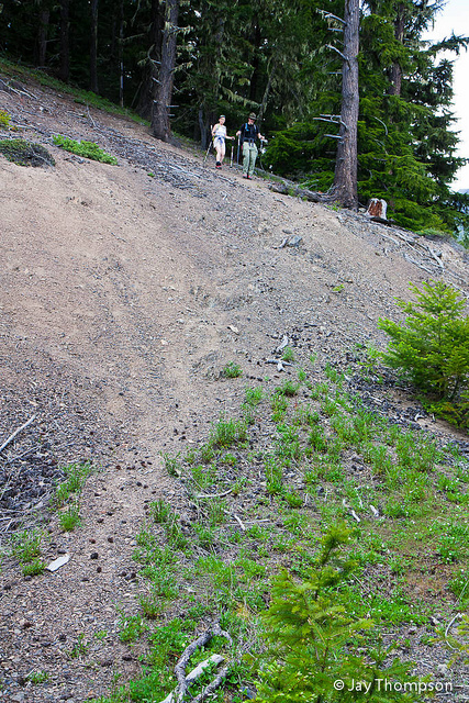
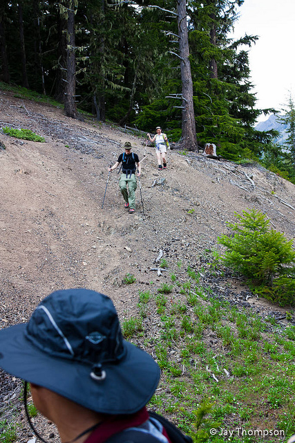
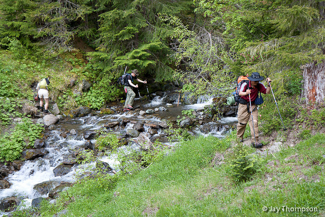
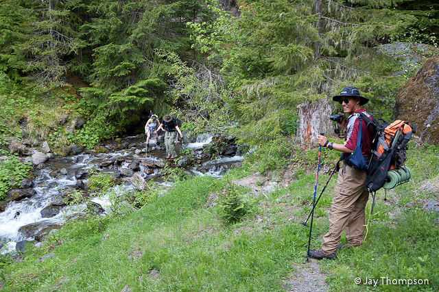
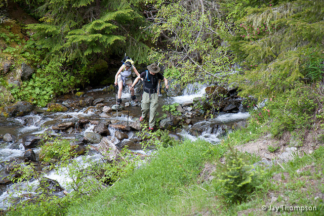
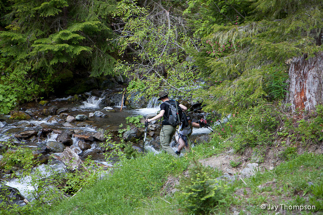
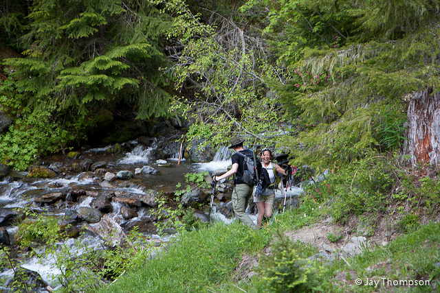
The trip down looking for the Maynard Burn trail was interesting. We found and managed to stay on the trail for the most part, despite the lingering snow which is still very deep in spots on the north facing side of the ridge. Oddly enough, we became temporarily misplaced once the trail reached the snow-free top of the ridge. After about 30 minutes of bushwhacking we realized where we went wrong and headed back to the crest of the ridge and found the trail. It only took us about an hour from here to the car. There is one creek crossing (Mueller Creek) that goes across the abandoned portion of the road that is the beginning of the Maynard Burn trail that was difficult to cross without getting wet. Being so close to the car, I didn't bother with it and just splashed right across. The others did the same with the exception of Soon who tried to stay dry. Unfortunatly she didn't realize how slick the rocks were and got wet anyways.
All in all a great day, and the Maynard Burn trail was as steep as ever coming down. The climber's trail all the way to the top of Tyler is snow free at this point if snow travel is not your thing. The spur-road 2860-120 has halfway slid off the edge of the hillside in one spot about a mile or more from the trailhead. On the way in I made everyone get out of the car as I drove across it. On the way out everyone elected to stay in the car as we drove out. It is passable at the moment but something will need to be done to shore it up or it will further slide off the edge when the rains come next year. There is also a failed culvert that needs to be replaced as a creek runs across a portion of the road. I wouldn't be surprised if this road gets closed if something isn't done soon.

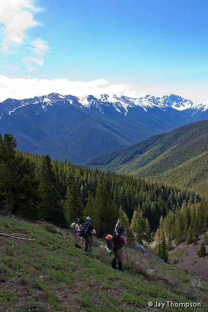
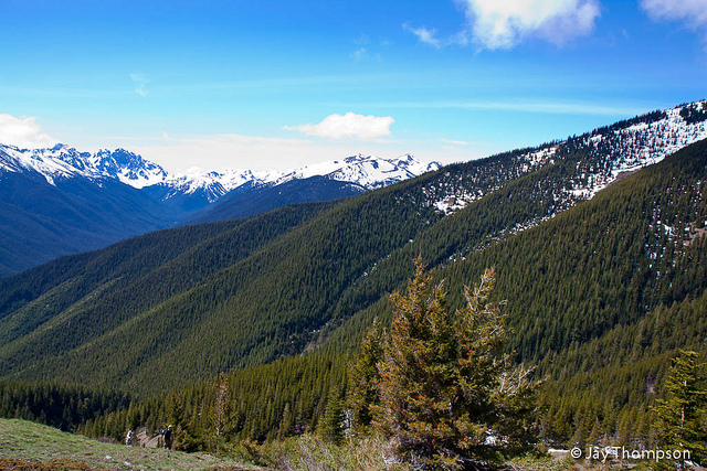
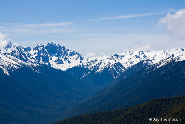



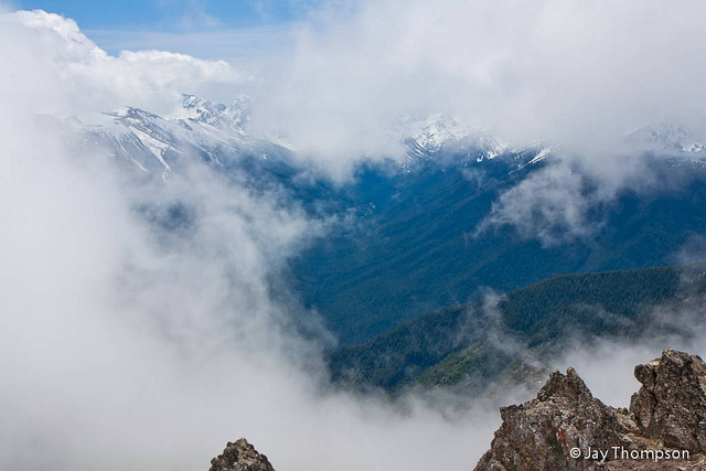
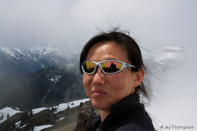
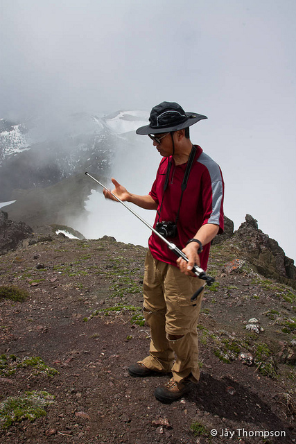

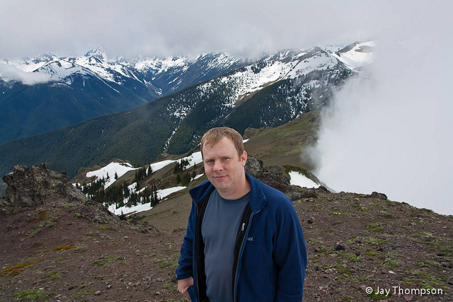
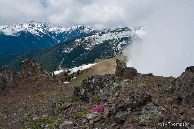
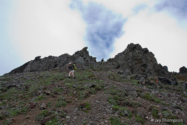
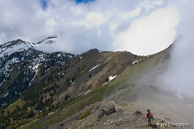
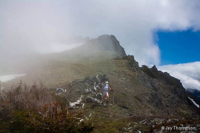









Isaac has even more pictures of this trip. Click here to see his report.

Soon Wellner, Isaac Sun, Paul Cooney. Here is the report. Let me know if there is a particular picture or pictures you want and I will send you a larger size.
Great job Jay! Nice pictures as usual.
Spectacular….makes me want to hike there!
Thanks y’all!
I just did Tyler Peak trail and Peak B on May 21. I have a WTA trip report https://www.wta.org/go-hiking/trip-reports/trip_report-2022-05-21-7704021925. If you are unfamiliar with Peak B, It’s shown in the photo with Isaac standing guard amongst the clouds, or also in the seventh photo of your report. Anyways, when I climbed up Peak B I saw lots of that orange fungi/Lichen stuff growing on the rocks. Do what lichen/fungi it’s called? Would love to know.
Nice report. Yeah, I’m not well versed on the different types of Lichen there are. If you figure out what it is, let me know.