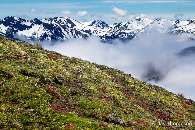
Last weekend, I attended a snowshoe trip up to Hurricane Ridge sponsored by Doug Savage. Doug, Barbra and myself were the only people that attended. The drive to Port Angeles was quick but we were turned around at the Hurricane Ridge Road gate. The sign said they were still clearing 15 foot drifts of snow out of the parking area that was a result of the heavy snows the previous week and they were unsure when the road would open. What to do, what to do? I suggested we try a place I had heard about called Striped Peak that was outside of Port Angeles on the way out towards Joyce.
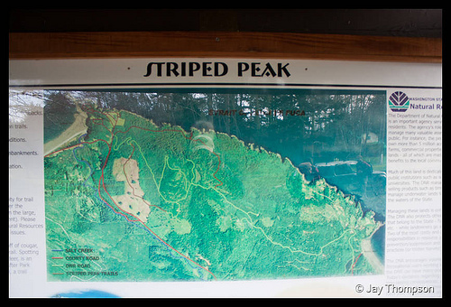
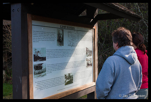
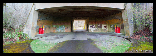
Striped Peak is a 1000' peak located on DNR land adjacent to the Salt Creek County Park in Clallam County. Inside Salt Creek Park itself is an old WWII Bunker you can drive through called Camp Hayden. Camping areas, and beach access to the Strait of Jaun De Fuca with tide pools to explore are available.
The Striped Peak trail is well known to locals in Port Angeles and Joyce but is mostly off the radar for people outside these areas since the Olympics are usually their destination. Still, this is a nice hike for a winter day. Due to its relatively low elevation and since it is exposed to the salty air of the Strait, it is usually snow free most of the year.
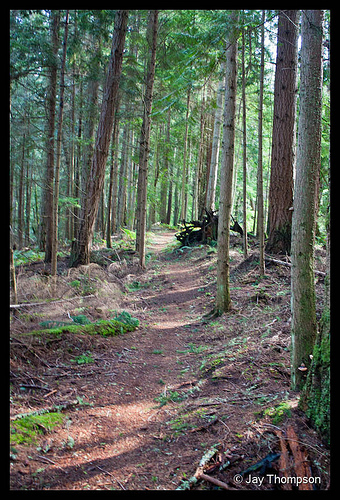
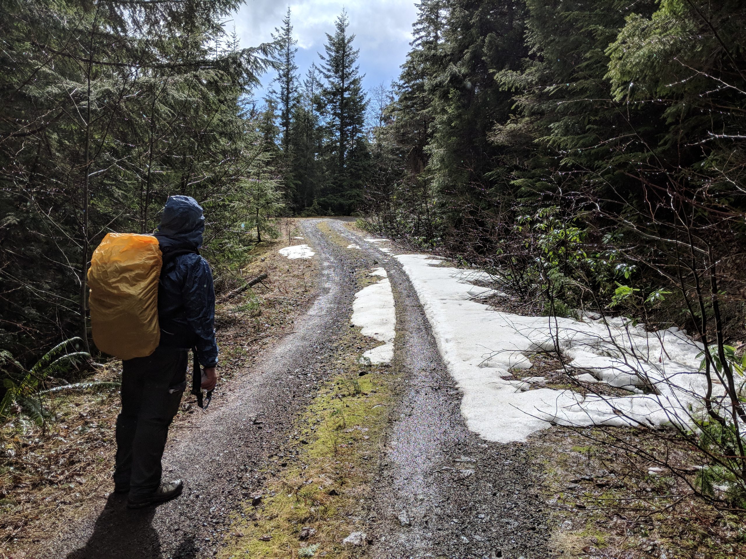
The trail was very muddy. Being a DNR trail, it is open to mountain bikes as well as hikers. Other than the mud, the hike was uneventful and we had the trail all to ourselves on the way up. The trail follows along the water for about half of its length before it starts to climb the hillside.
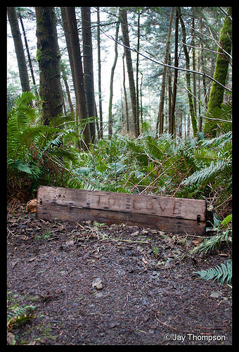
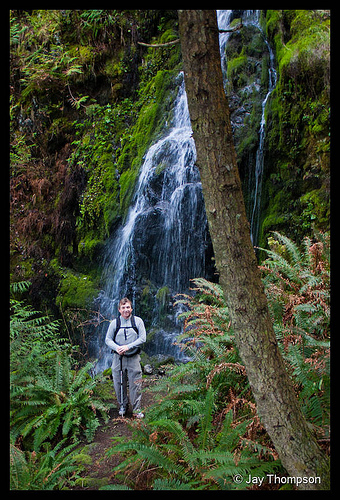
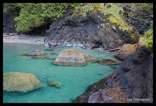
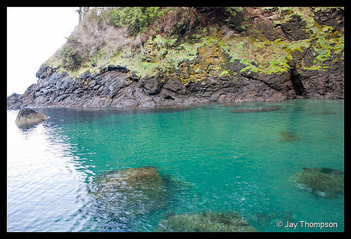
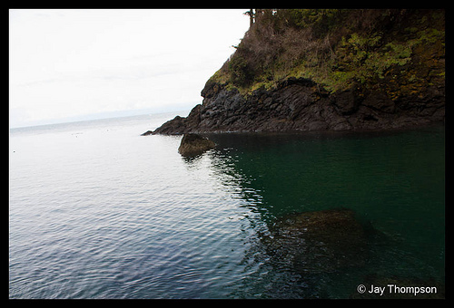
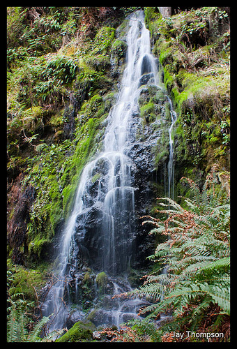
Along the way there is a side path that goes down to the water at a neat little cove. I was really surprised how clear the water was. It gave a very pretty aquamarine color that you don't see too often in the salt water areas of the Pacific Northwest, at least not in the Puget Sound. On this little cove trail, there was a nice little waterfall. A great surprise since I though we would just be in for a mostly viewless hike to the top of the mountain. I doubt this waterfall runs year round, but in the wetter months after a good rain, it should be there.
The tide was in when we were there so we didn't get to explore much on the beach, but there were a few tidepools still exposed. It was very rocky and a little slick so practice caution if you go.
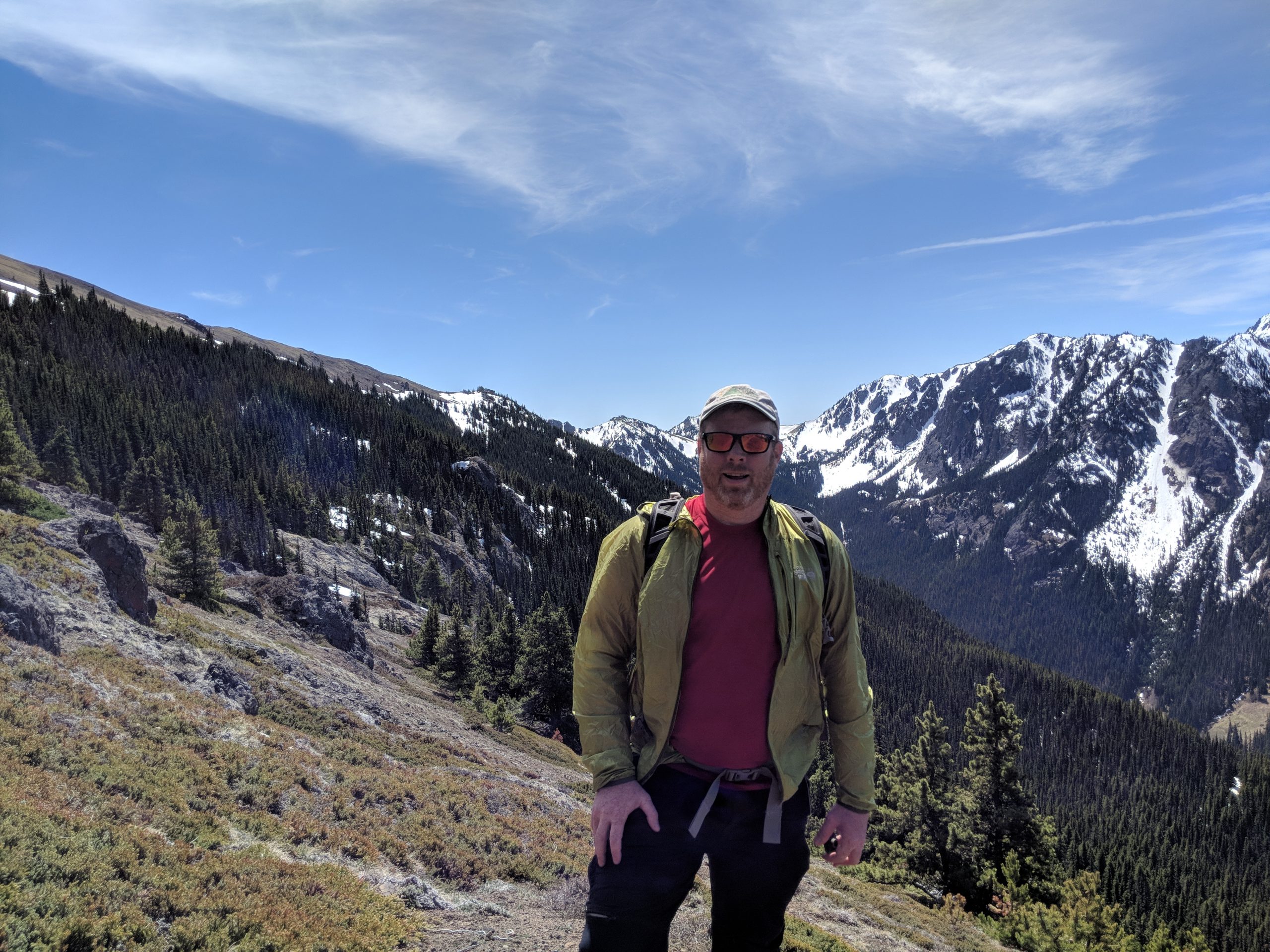
Back on the main trail, it continued to more or less follow along the coast through what appeared to be virgin or very old second growth forest. Due to the steepness of the hillside and proximity to the water, my guess is that it would be difficult to log the area and was probably looked over as more readily available forest was cut instead. After about a mile to a mile and a half, the trail turns and starts its climb. Nothing too difficult, but after a long winter season of not getting out much, I could definitely feel the burn. At this point, the trail remains mostly viewless until you reach the top. There is a cable barrier and a steep cliff behind it at the top. Beyond that is a great view of the Strait and Canada beyond.
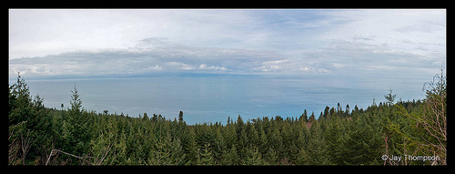
After hanging out at the top for a few minutes, we headed back. Not much worth mentioning on the way back. The mud was a bit of a pain to avoid in places, but it wasn't all bad. All in all, I think this was a worthwhile hike to see in an area that I haven't been to before.
To get there - Drive west of Port Angeles for about 5 miles on 101 and turn on to Hwy 112 towards Joyce. Stay on 112 for 7 or 8 miles and turn right on Camp Hayden Rd. Follow Camp Hayden Rd for 3 or 4 miles to the Salt Creek County Park. Drive past the booth and park in the little lot on the right. You should see the big Striped Peak sign and the trail starts from here.

