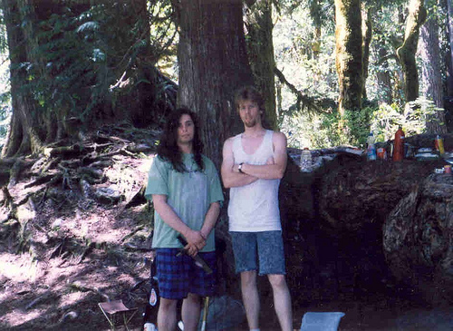
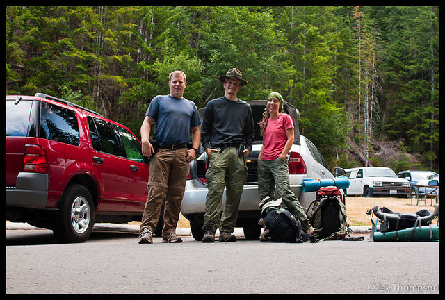
I did this loop last year as a day hike in the fall. I was eager to see this trail again and under different circumstances as it shed its winter coat. Being given notice that I would be able to hike on this Saturday at the last minute, my invites went out kind of late so I didn't expect many responses, if any. I was surprised that my new friend Paul Cooney who I met a few weeks prior on the West Cady Ridge loop with Kevin Koski was interested in going. I was also surprised when my other friend Robin Vasquez who I have done several hikes with called and said she was also interested in going. Arrangements were made and after meeting at my house we drove my car and arrived at the trail by 8:30.

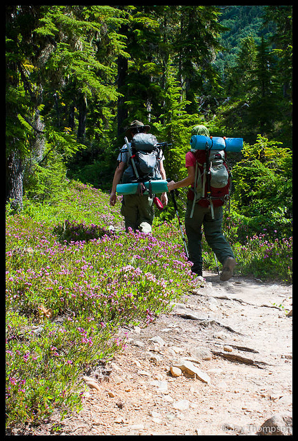


We anticipated a long day, as the loop by the distances given on the Custom Correct Maps is 18.2 miles. Add the little extra for summiting Bogachiel and you get 18.6. The actual GPS recorded mileage when it was all said and done was 19.2 miles and 4600' elevation gain. The trail is in great shape and there were only a few blowdowns on the whole route which were easy to get around. We carried our ice axes in anticipation of crossing snow on steep exposed areas but we really didn't need them. I even had my hiking boots strapped to my pack in case I would need the extra traction and step kicking ability they provided, but I didn't even need to take off my trail runners.


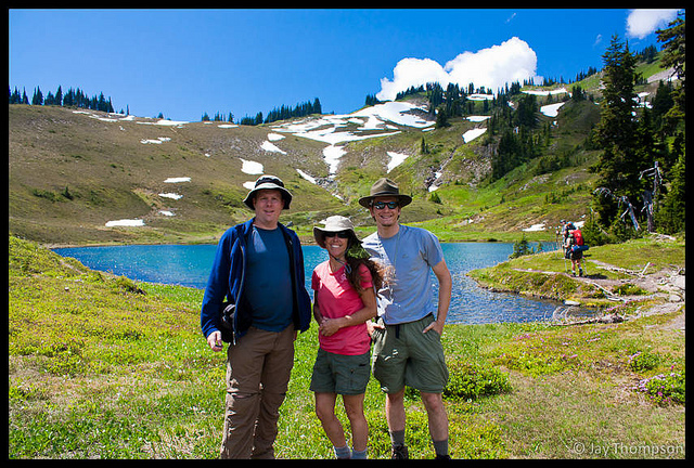


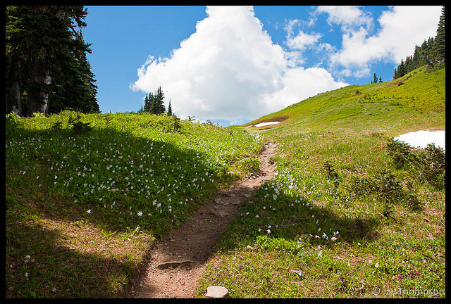
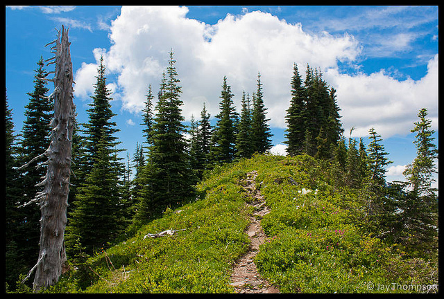
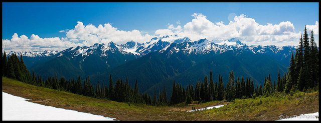
We started the loop clockwise. The trail starts in the woods and stays along the river for about 5 miles. At 6 or 7 miles you break out into some nice meadows just before Sol Duc Park and leave the trees behind. Soon after you enter the meadows and before you reach the ridge or divide, you will cross the creek at the top of a waterfall and you will be at Heart Lake. We had lunch here for about an hour before moving on. About 400' above the lake is the ridge and your first views of Olympus. Words alone cannot express how amazed you will be on seeing Olympus for the first time from the Divide, it is simply an amazing site.


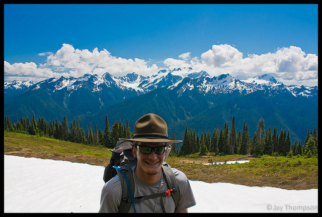

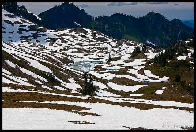
After you pick your chin up off the ground you begin the ridge walk. The walk along the High Divide is only a couple of miles, but the views you get are worth every step of the miles you hike to get here. If you have the time, spend a few days here and let the place change you. If you are like me and don't have much time, try to day hike it sometime. It is simply a spectacular hike. At almost the end of the ridge walk (going clockwise) you will come to a junction with the Bogachiel Peak trail. This is a short little spur trail that ends at a flat area at the top of the peak. The views from here are pretty good, but I can't say this is a must. You will have seen everything you can see from up here already. Still, it is a short side trip and only takes a few minutes to bag a new peak so you might as well go for it.
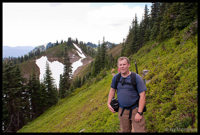
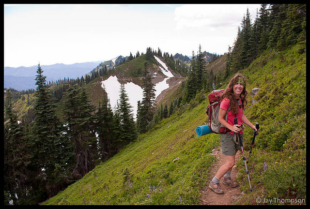


After summiting Bogachiel, and heading back down the main trail, you will soon come to a junction with the Hoh Lake Trail. Go right at this junction or you will end up going all the way down to the Hoh River and many, many miles from where you left your car (you did bring a map didn't you?).

After this junction you will traverse along the side of Bogachiel Peak, going up for a short distance before the trail heads downhill for good - a bone jarring 3500' decent back to the car. Along the way on the decent you will pass the Seven Lake Basin trail junction, Lunch Lake, Deer Lake and Sol Duc Falls with its throngs of flip flop wearing tourists. Hopefully, if doing the loop as a day hike, the last few miles will not have felt so much like a death march and pleasant memories of the Divide will help ease any soreness you might have developed after walking so many miles.



If you are unsure of your abilities, do not attempt to do this hike in a day. Try a 10 miler or two and work your way up. Make sure you will be comfortable if you have to do an emergency bivouac.

