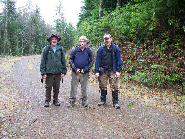
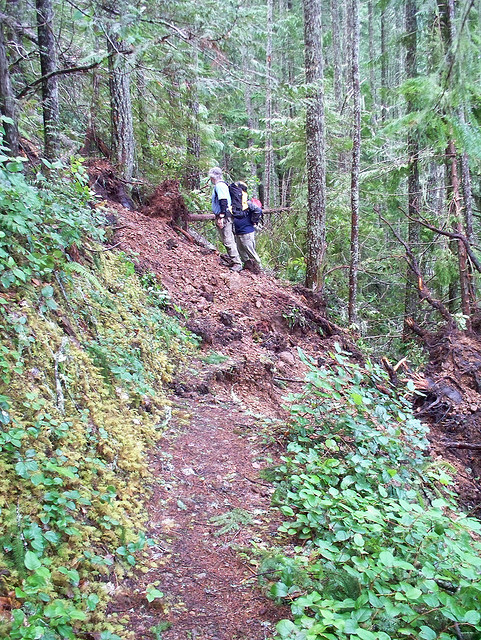
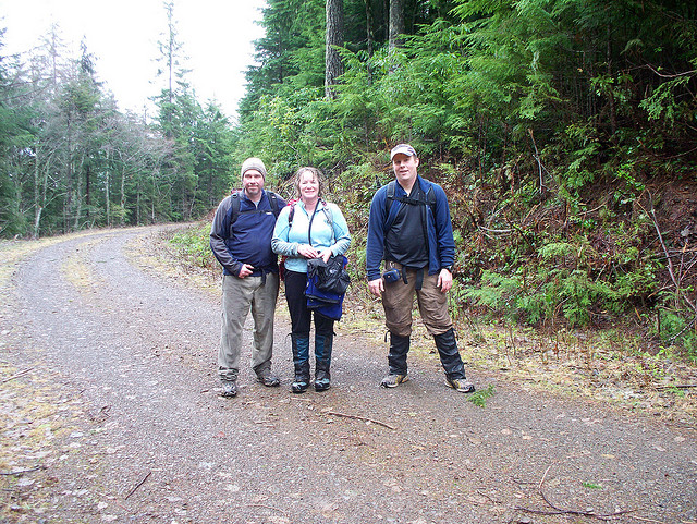
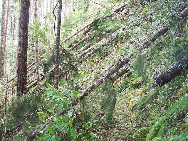
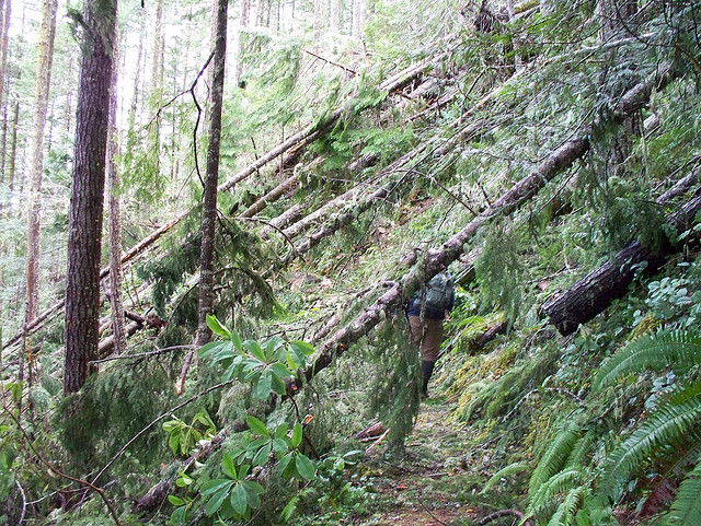
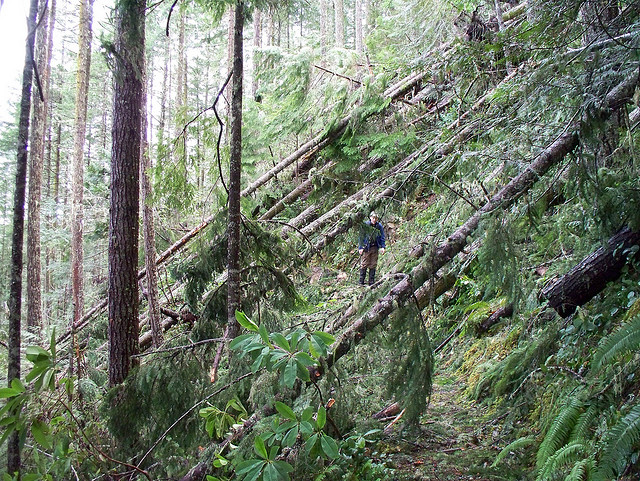
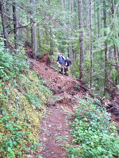
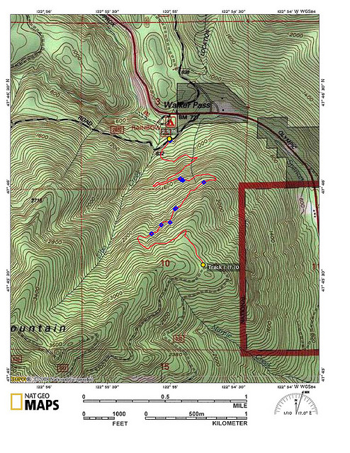
After a week of heavy rains and a on a day with a questionable forecast for more showers, I hiked up the Elbo Creek Trail with a few members of the Kitsap Climbers Group. The Elbo Creek trailhead (that's how Elbo is spelled on the map) starts near the Mt Walker Trail but is on the other side of Hwy 101 and begins a little ways up a logging rd. See map and you will get a good idea. When going up the logging road called Buck Mountain Rd (according to the old USGS maps) you will see a big pile of garbage on the right. Immediately across from the garbage pile is the trailhead. The trailhead is not signed so it might be hard to spot unless you see the garbage pile. About half way up the trail we had to cross a land slide with about 12 down trees. Near the top of the trail is a new section that is still under construction. We followed the flagged route but got a little lost and ended up bushwhacking a ways. We eventually found our way and made it to the road that goes up to Buck Mountain. We turned around at this point and headed back to the car 2000 feet below. If you attempt this trail, especially the upper new route, I would highly suggest taking a GPS to keep track of where you are going.
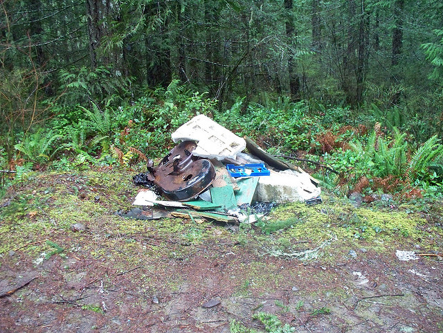

Thanks for the cool map and report Jay. We are headed up there tomorrow. The trash at the trailhead has been gone for some time now. The trail is becoming foot worn and easier to follow. The trip up to Buck Mountain Summit is worthwhile, especially after the snow falls. Jim Morrison
Great report and map Jay. Thanks! We are headed up there tomorrow. The trip to the summit of Buck Mountain is worthwhile especially in Winter with snow on the ground. Jim
I’ve been meaning to get up to Buck for some time now. Might head up there soon. Thanks Jim.
we did this trip yesterday, 1/24/2022 and found similar blow down on the trail. I counted 72 of them. Several required some extra energy to get around. What a mess. Jim Morrison