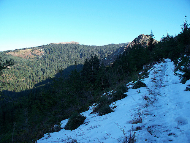
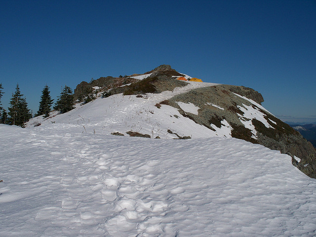
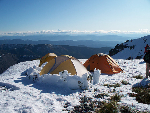
After visiting some friends in Portland OR, I took the opportunity to get a local hike in. I chose Silver Star Mountain just outside of Vancouver WA. Hike was about 8 miles with about 2000' of elevation Gain. Silver Star Mountain was consumed by fire in the Yacolt Burn in 1902 and the trees on top of the ridge never recovered resulting in a fantastic 360 degree view of the surrounding countryside. The Yacolt Burn was the worst wildfire in Washington State history. Silver Star Mountain is 4390 feet tall.
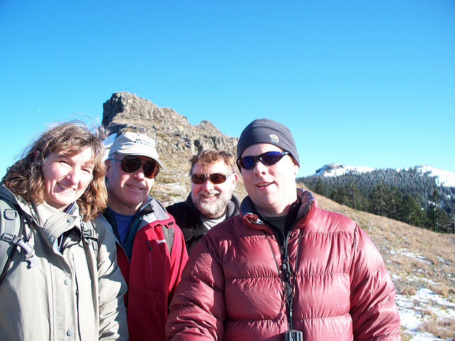
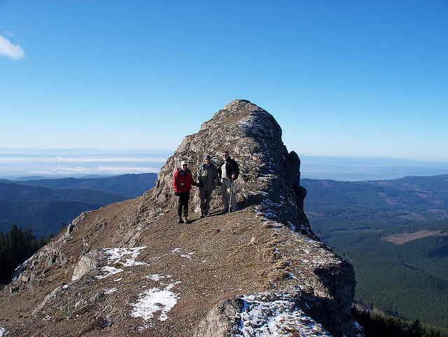
Upon summiting Silver Star, I met a group of folks from Portland that asked if I would like to join them to summit Sturgeon Rock. It only took me about five seconds to make up my mind and soon we were on our way. Pictured in this set are David, Julie, Ken and myself.
Summit of Silver StarSilver StarMy constant companionBoot tracks on Silver Star trail
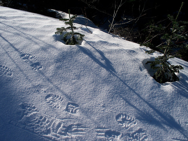
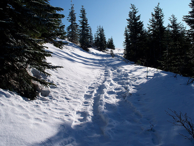
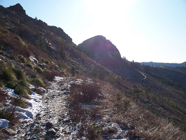
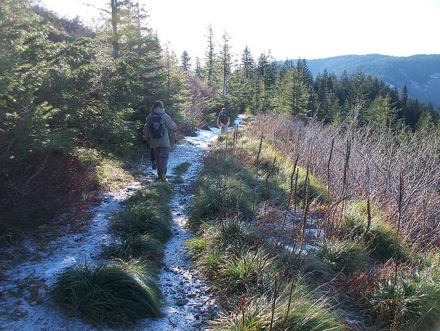
Boot tracks on Silver Star trail
Boot tracks on Silver Star
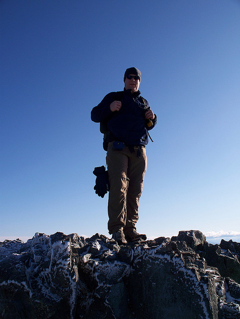
Summit of Silver Star
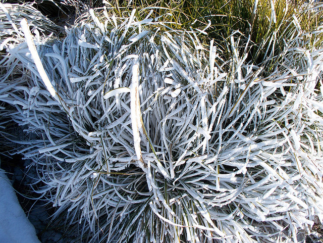
Hoar Frost on bear grass Silver Star
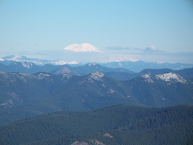
Saint Helens
Adams
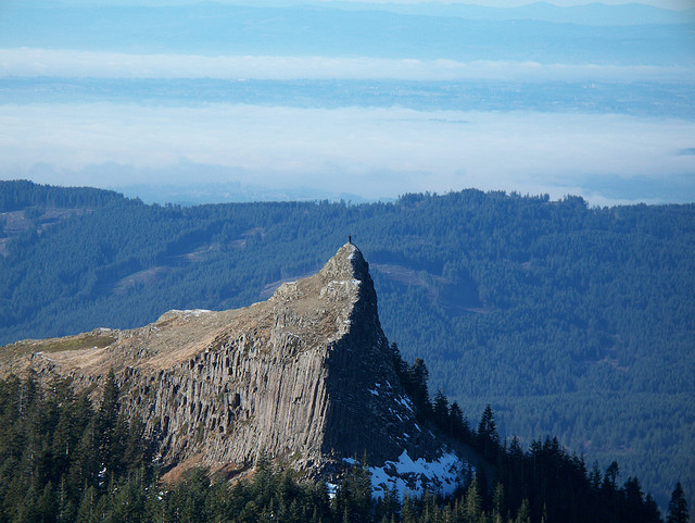
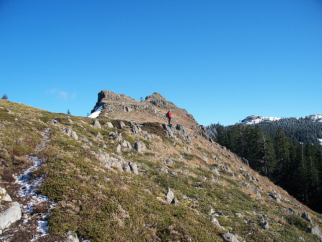
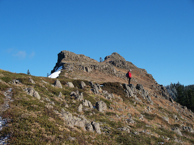
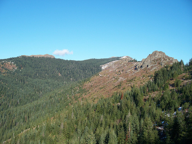
Sturgeon Rock
Sturgeon Rock
Sturgeon Rock
Summit of Silver Star
Summit of Silver Star
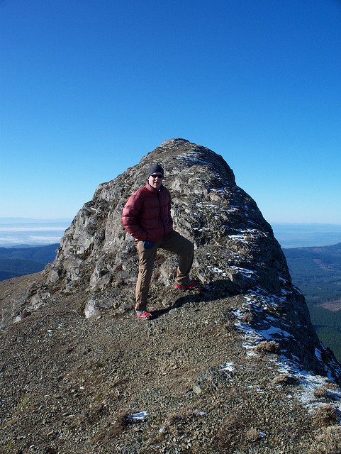
Summit of Sturgeon Rock
Summit of Sturgeon Rock
Just below the summit of Sturgeon Rock
Julie, Ken, David and myself just below the summit of Sturgeon Rock
Ken, Julie and David at summit of Sturgeon Rock
Silver Star from Sturgeon Rock
Summit of Sturgeon Rock
Pyramid Rock just below Silver Star
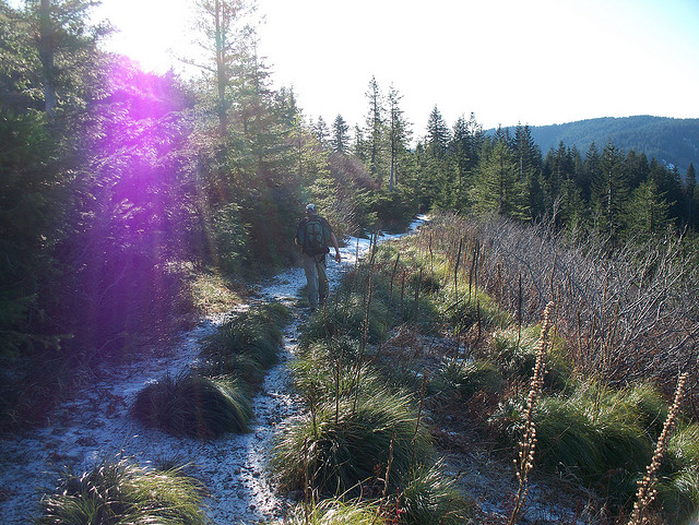
Heading down Silver Star
Heading down Silver Star
Looking back up at Sturgeon Rock
Looking back up at Silver Star
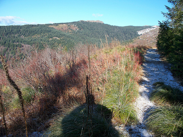
Silver Star features
Poorly stitched panorama of St Helens, Rainier and Adams from the summit of Silver Star