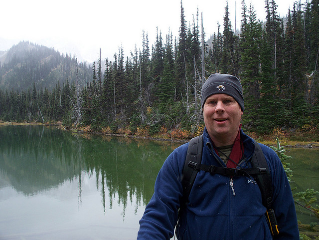
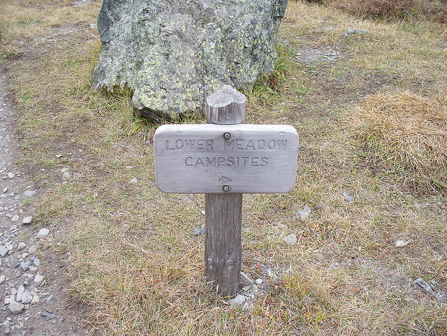
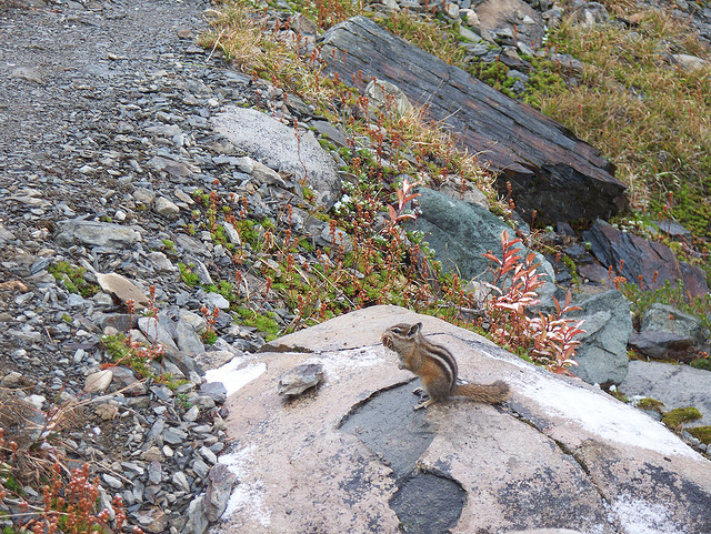
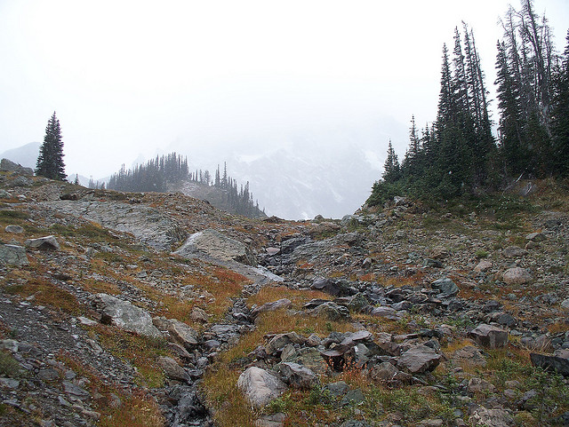
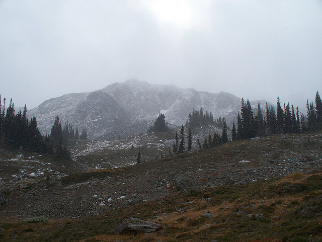
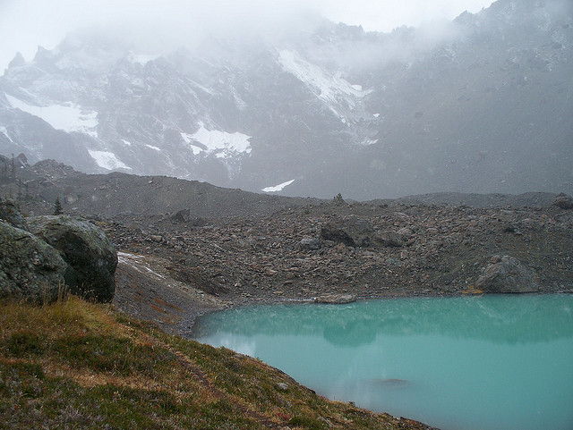
Hike was cold and felt longer than the 15 or 16 RT miles that it was. Probably because it was too cold to stop for much of a break. Got snowed on about halfway in and people on the trail were heading out as the snow started. I won't embarrass myself by naming which peaks are which. I think Fricaba, Deception, Mystery and Clark are pictured. Blue tarn is located in the upper basin.