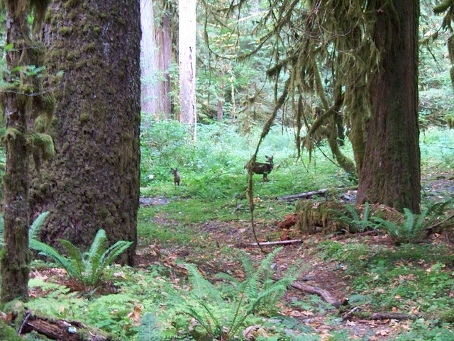
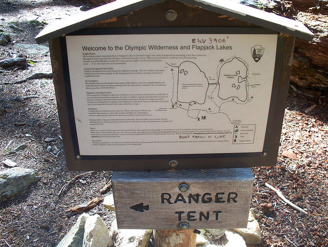
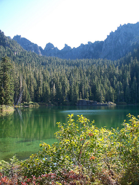
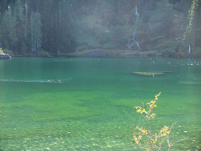
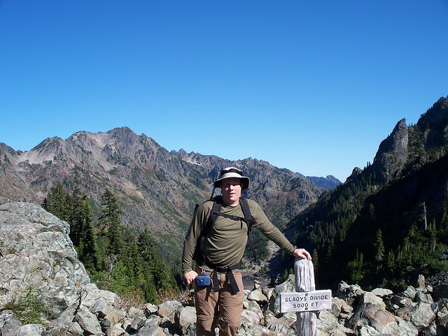
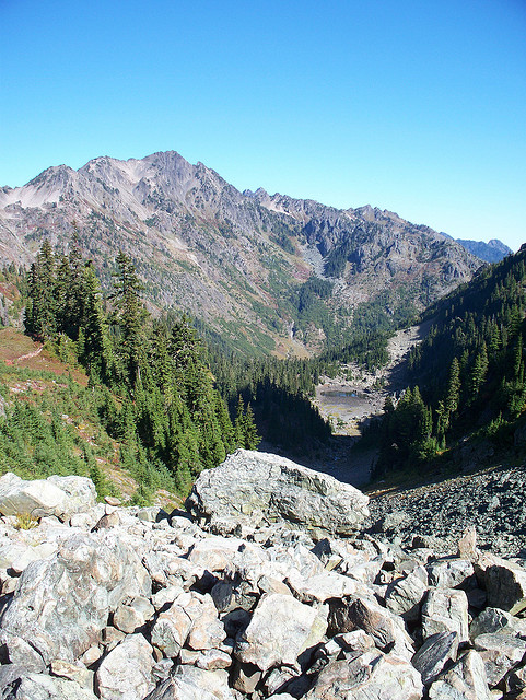
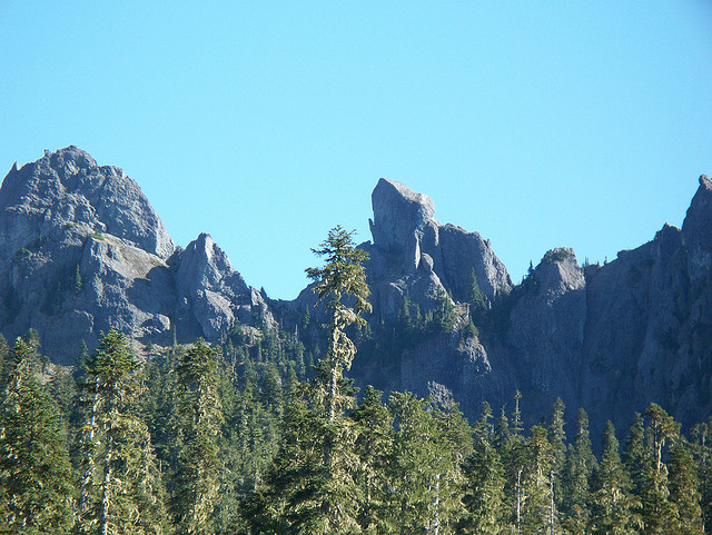
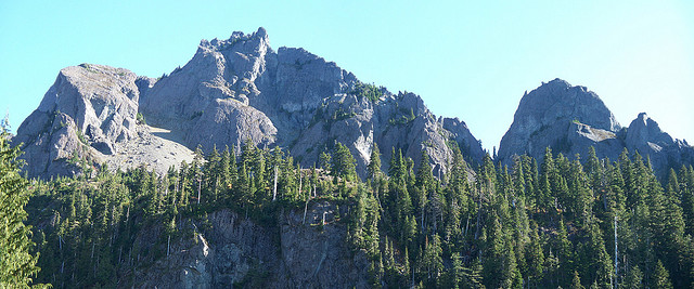
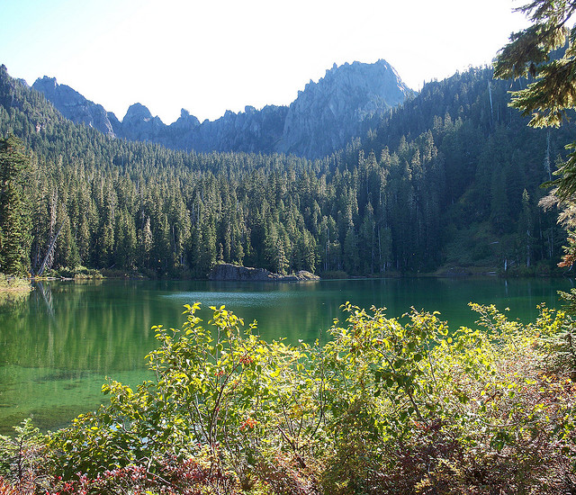
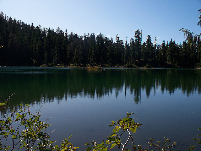
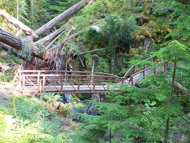
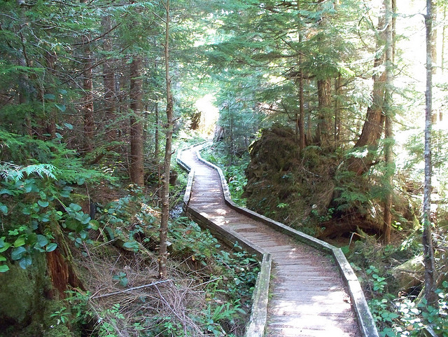
Another long day hike. My friend Cheryl from the Kitsap Climbers Group joined me on this hike to Flapjack Lakes and Gladys Divide. The trail starts from the Staircase Ranger Station and follows the North Fork Skokomish river trail for 3.7 miles to the junction with the Flapjack Lakes Trail. The Flapjack Lakes Trail climbs about 2500' to Flapjack Lakes at 4 miles. We enjoyed lunch at the lake and then continued on the trail for another 1.5 miles and thousand feet or so to Gladys Divide where we took a few pictures and turned around and headed back. Stats for the day 18.6 miles and 4000 feet or so of elevation gain. My GPS lost its signal a few times in the deep woods so mileage is based off of Robert Woods Olympic Mountains Trail Guide.
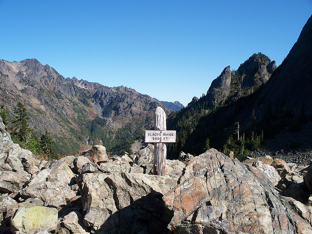


Anyone know if there is camping at glady’s pass?
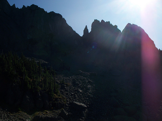
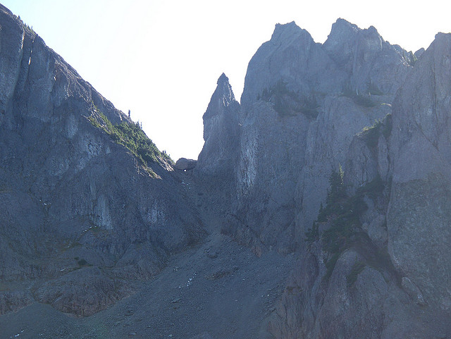
I remember it being pretty rocky. Not a great place to camp if I remember correctly. Whether it’s allowed or not, I have no idea.