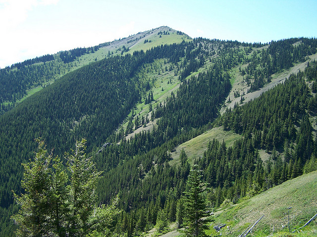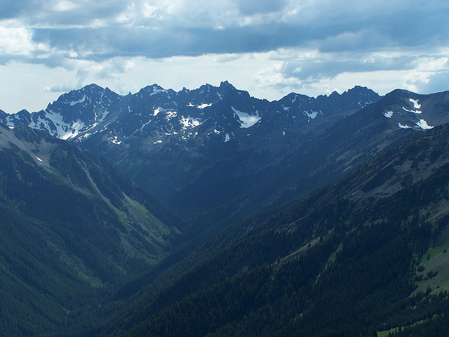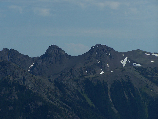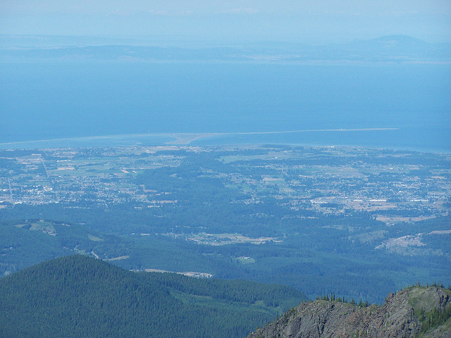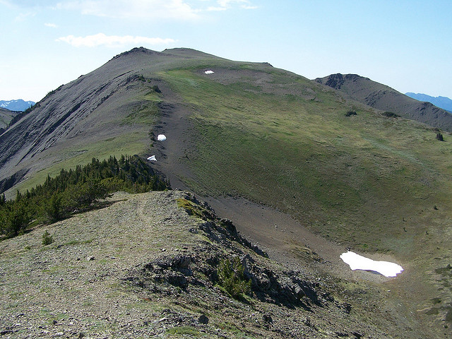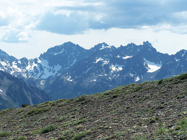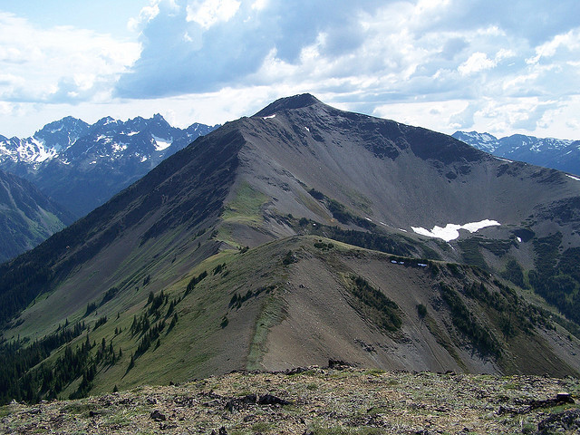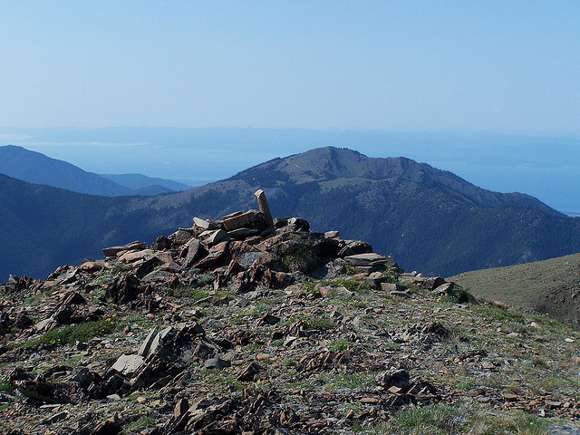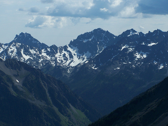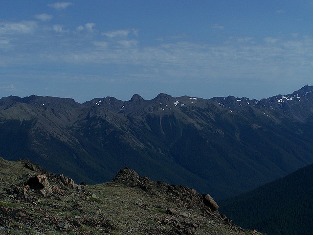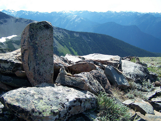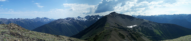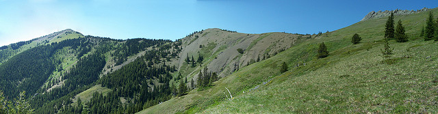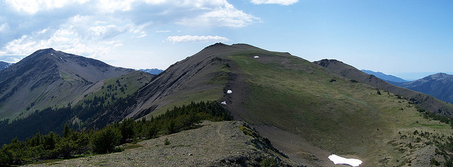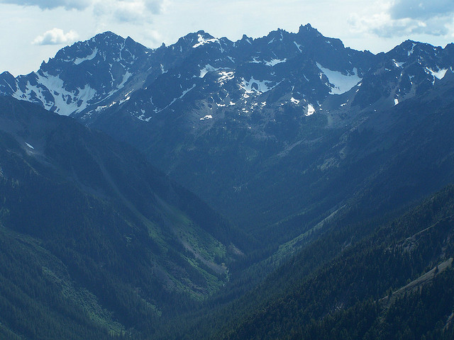
Got a late start and hit what I thought was the Maynard Burn Trail but turns out I was on the newer Tyler Peak Trail. I got to the ridge and some Marines that were camped on the ridge (who also boasted several times about their 80 pound packs full of beer) told me I was actually on the Tyler Peak Trail. No matter, both trails lead to the same ridge and soon I was on my way to Baldy. My original goal was to hike to the top of Grey Wolf but due to my late start this would have to wait for another day. Excellent views this trip of the interior Olympics including Grey Wolf, Tyler, Buckhorn, The Needles, Royal Creek drainage, Mount Olympus, Sequim, San Jauns and Canada. Tyler Peak trail and the Maynard Burn Trail are both very steep. If you want a water source on the way up or down I would suggest the Tyler Peak Trail. I think The Maynard Burn Trail is better maintained as I saw no blow downs when Tyler had several. All in all a good trip but very tiring with what my GPS says is 4250 feet of Elevation gain in 7 miles RT. Whichever route you take, it is a good idea to either be very proficient at route finding or take a GPS. When you come out of the trees near the top, the trails just peter out and if you are not paying attention to where they are they can be hard to find on the way out, especially if the weather turns bad.