September 5th, 2015
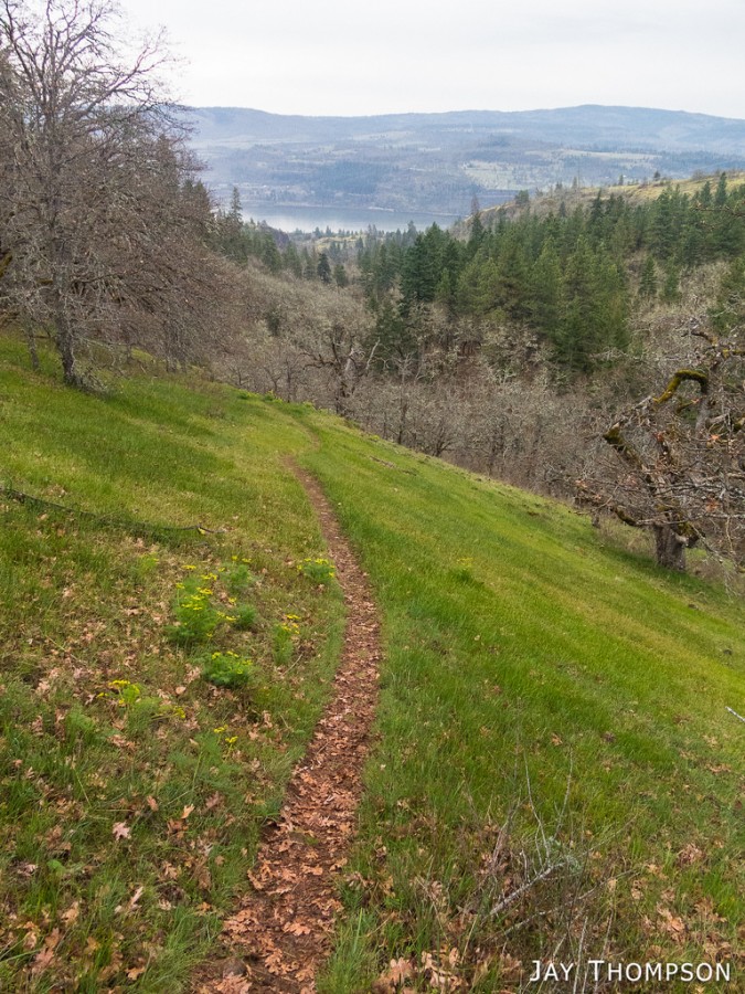
I love doing loop hikes. Maybe one day I will write a book describing my favorite loops and thru-hikes, but until then, you'll just have to settle for jaysjourneys, haha. The Badger Valley - Grand Lake Loop hike in the Olympic Mountains is on the short side for my taste because I like to hike all day, but if you only have 3 or 4 hours, it's perfect. Beggars can't be choosers. There are some options when starting out from Obstruction Point. Some folks will go beyond Grand Lake and head out to Grand Pass for an out and back. Some like to go off trail from Grand Pass and and hit all the peaks in between (Moose Peak, etc.) for a different loop which is another excellent option. Another hike you can do from Obstruction Point is the Grand Ridge which goes all the way to Deer Park which makes for about a 14 mile out and back or a 7 miler if you meet someone in the middle and do a key swap. Grand Ridge is supposedly the highest non-stop open ridge walk in the whole Olympic National Park. It certainly is Grand. Whatever hike you decide, make sure you bring a map, especially if you go off trail. The terrain is easy to follow but if weather moves in, it would be good to have an idea where the hell you're at.
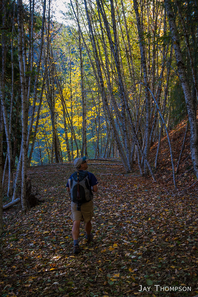
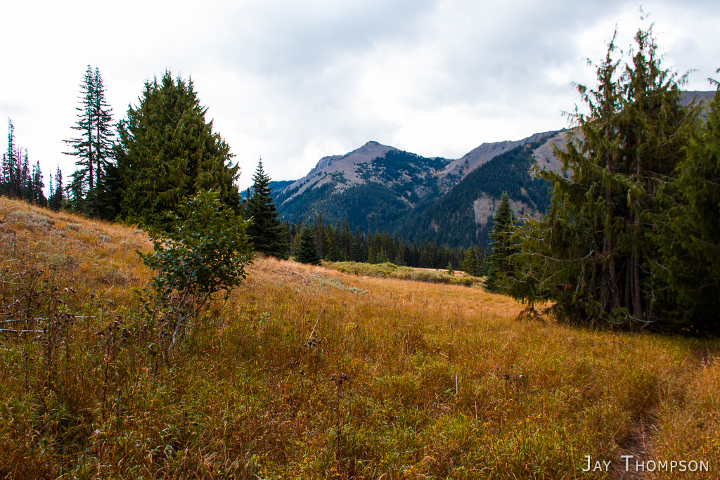
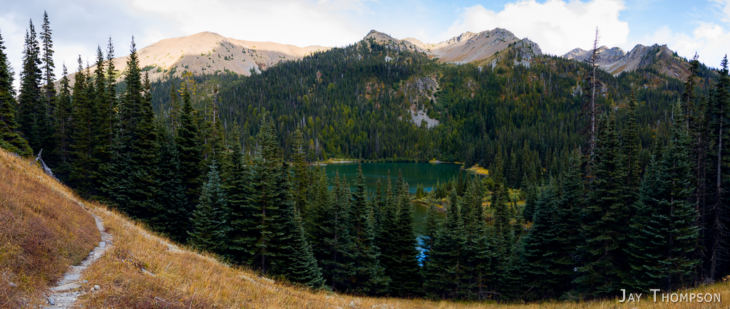
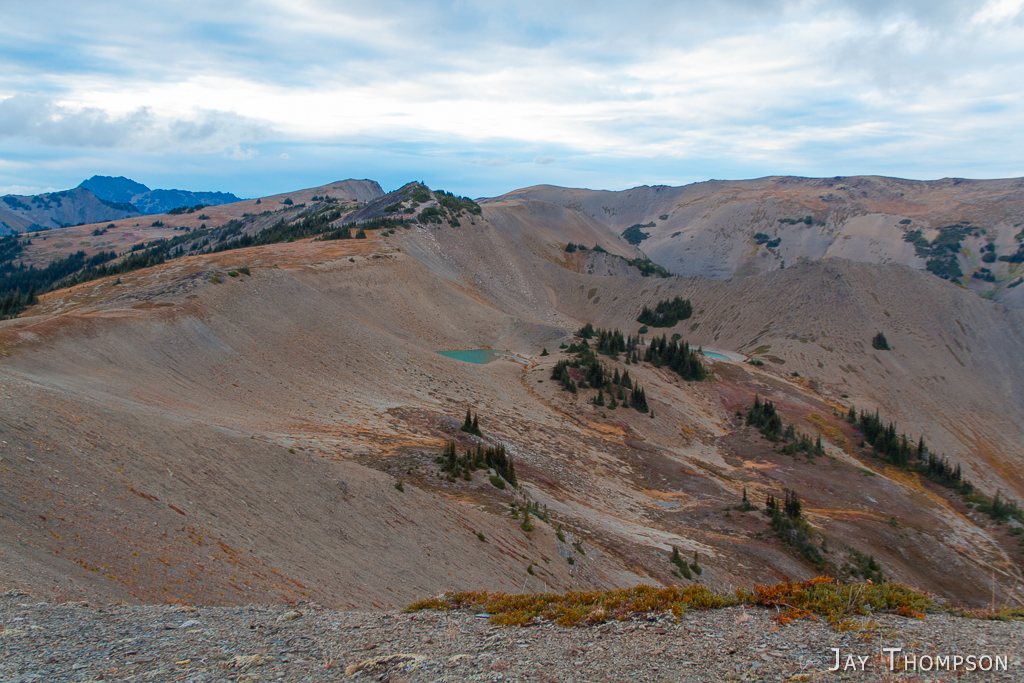
My mother passed away the week before I did this hike so it was a somber kind of trip for me. Not a lot to say about it. I'll let the pictures do the talking.


Driving Directions (Stolen From Summitpost.org)
From Seattle, either take a Washington State Ferry from the waterfront at Coleman Dock to Bremerton or Bainbridge Island. You may also choose to drive south to Tacoma on I-5. Take the Gig Harbor / Hwy 16 exit and follow it to the Hood Canal Bridge.
From Bremerton, make your way to Hwy 3 heading northbound toward the Hood Canal Bridge.
From Bainbridge Island, make your way west on Hwy 305 to Poulsbo. Take the on-ramp to Hwy 3 toward the Hood Canal Bridge.
Cross the Hood Canal Bridge on Hwy 104 and follow the signs to Port Angeles, Washington. Hwy 104 merges onto Hwy 101 prior to Port Angeles.
In Port Angeles, follow signs to the Olympic National Park. Take a turn towards the hills on S Race St. Follow the signs up to Hurricane Ridge, approximately 18 miles from the Port Angeles Ranger Station. As you reach Hurricane Ridge, just before the parking lot is a dirt road to the south. If the gate is open, head on out another 8.4 miles to the end of the road at the Obstruction Point parking lot. This is the jumping off point for Badger Valley, Grand Valley, Deer Park, Lillian Ridge and beyond.