Ok, so I wasn't exactly lost, but I sure as heck didn't find the top of South Mountain. For all the logging roads that criss-cross this mountain, I figured I could surely find a route, but I got a bushwhack instead.
South Mountain is the southern most peak in the Olympic Mountains. To get there you will have to drive a bunch of logging roads and hopefully the gates are all open. I had a rough idea how to get to the "trailhead" which is itself a usually gated road, but the gate I found myself staring at from behind my steering wheel seemed to be a few miles away from the gate I thought I needed to be at. Since I couldn't get to that particular route, I decided to blaze my own trail so to speak and I turned off on the next logging road going up the mountain that I came across.

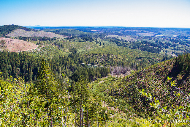
 View of the Vance Creek Bridge from where I parked the car. (Roll mouse over image.) |
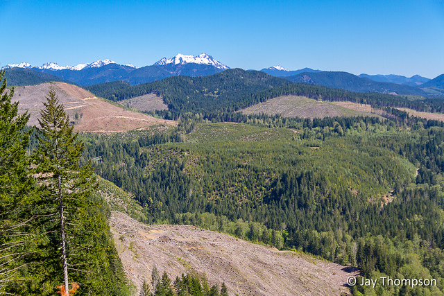
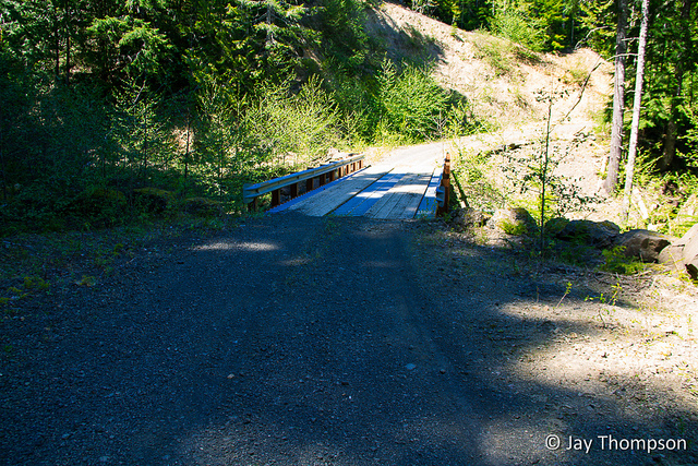
Soon I was at road's end, at least as far as I could go in my sedan. There were some big branches in the roadway leftover from a not too old logging operation. I parked, hopped out of the car, grabbed my pack and camera gear and headed down the road past the debris. I came to a big slash pile at the true end of the road and could see a little path that had been beaten through the brush going around it. Ordinarily I would have returned to the car after coming across the slash pile, but the path intrigued me. What's on the other side? The path continued and I could tell I was following a genuine trail. There was even a footbridge that looked very unused but not too terribly old. It was covered with leaves and fallen branches.
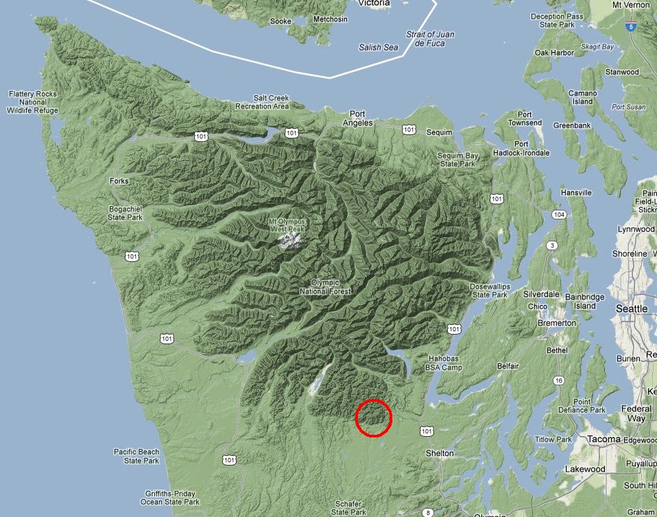
I followed this abandoned trail/road for about a half mile when it came out on another logging road (I'd tell you the name of these roads but every map I look at seems to be different. FS2254, FS2342, etc). This road was very much not in dis-use with signs of recent logging activity all around. I took a left on this road and came to a clear cut (no big surprise there) and followed it to a freshly used clear cut landing. Since this was the end of the road, I went back to where the little trail came out and followed the road in the other direction.


Moving along, after a few miles I came across a spur road to the left that looked to be heading more or less in the direction I was wanting to go so I took it. This road was not gated and it didn't look completely unused but it certainly was not the freeway that I had been cruising on up until this point. About a quarter mile in on this road it started getting pretty rough and it was now apparent to me that this road had also been abandoned, at least until the time comes to harvest more timber, then it will probably be put back into use.


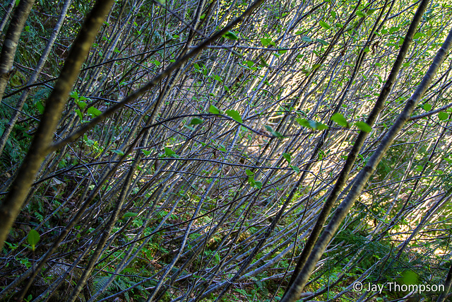
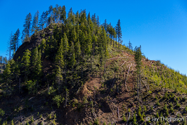
With my head hung down in shameful defeat, I turned around when forward progress was stalled by slide alder. Turned out it was a good choice to turn around as I later learned by looking at the map that this was about where the end of the former road was. I would have been better off if I had started my day by bushwhacking straight up hill. Still I had fun and got a good workout for the day bashing through the brush. I ended up walking this section of abandoned road about 1.2 miles.


This map was created on my return. It doesn't represent all my side trips. My total miles for the day was 10.
