Munra Point – SE Oregon Road Trip Part 1

Munra Point

I’ve broken this report up into 3 different posts. This part, part 1 is of my hike at Munra Point in the Gorge and for me is symbolically the beginning of my trip, even though the Gorge is like 3 hours from where I live in Silverdale Washington and not really anywhere near SE Oregon. Part 2 is all about the rest of the road trip. The route I took and places I stopped at along the way. Part 3 will be about my hike at Juniper Gulch in the Owyhee Reservoir area and the subsequent drive home from there.

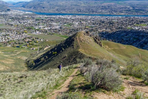
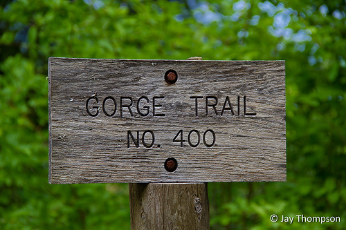
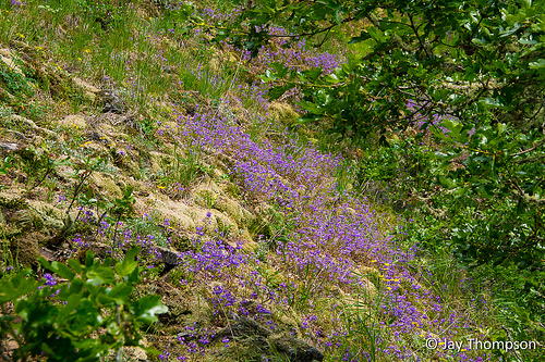
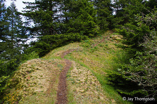
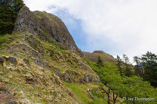
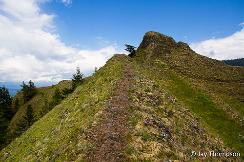
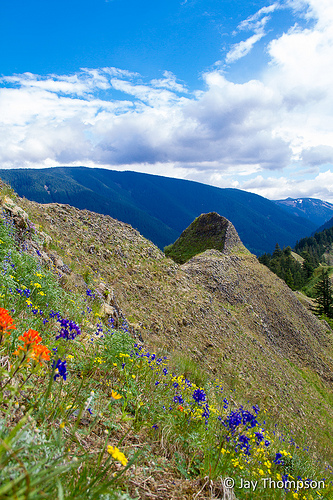
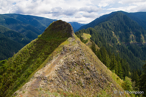
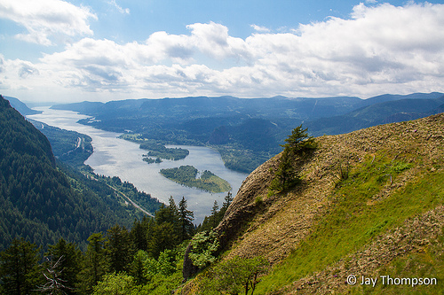
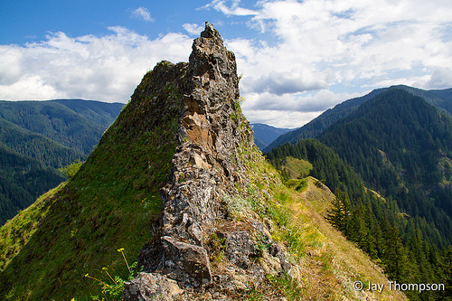
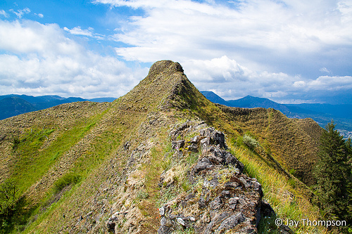
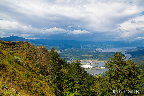
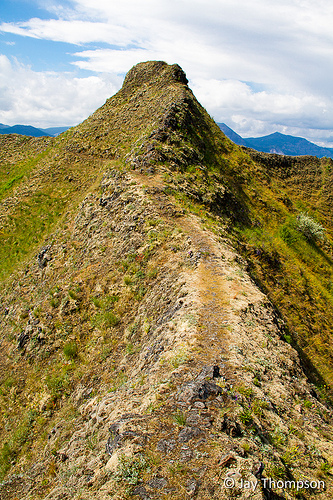
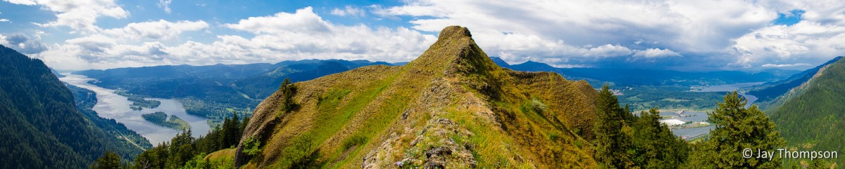
Munra Point is a hiking destination in the Columbia River Gorge Area of Oregon. The trail is unmaintained but in good condition. Parts of the trip are a scramble and there is lots of Poison Oak along the way. There are guide books with better directions, but basically to get to the trail you start at the Wahclella Falls Trailhead and hike west on Gorge Trail # 400 along the freeway for about a mile. After a mile or so, be on the lookout for a trail that branches off to the left going steeply uphill. If the trail is wet or if it is raining, you might as well turn around as this trail could be potentially hazardous to your health! I was driving through the Gorge as part of a longer trip I took to SE Oregon and I stopped along the way to hike Munra as it has been on my list for a long time.

Panorama of the Gorge from Munra Point

Tanner Creek at the start of the trail #400 from the parking area.
Gorge Trail #400 follows along the highway
For a shortcut, some folks park along the freeway (not recommended) at this sign and hop the fence to gain acces to the #400 trail. This cuts off about a half mile. If you take this route, turn right on the #400 trail and look for the trail the goes steeply up in half a mile or so.
One of the first views opens up on the hike up Munra Point
This is how much of the trail looks as it follows the ridge up
Wildflowers on the Munra Point Trail
Munra Point Trail
Munra Point Trail
The Scrambly Munra Point Trail
First view of the top
Not for the squeamish - The trail follows the ridgeline at the top for a bit before coming to a halt at a too narrow to follow section
Wildflowers at the top. The trail goes out just to the point
Trail pretty much ends at the point
A look back at the trail from it's end. The trail basically traverses below the little point there and follows the ridge to the left back downhill.
A fine view of the Columbia River to the west from the top of Munra Point
End of the line, and top of the point.
Looking back at the "Trail"
A look to the east from the end of the trail. Bonneville Dam can be seen below.
A fine representation of how narrow the trail is at the top
The start of the hike down
Munra Panorama looking SE
Munra Panorama looking West, North and East


Munra-Point.gpx


The route I took on this trip

Print Friendly, PDF & Email

Leave a Reply

Your email address will not be published. Required fields are marked *

Click here to Subscribe

Thanks for taking an interest in following me on my adventures. Enter your email address below and click the sign me up button. You should receive a confirmation email momentarily.