Lower Big Quilcene Trail
January 30 2011
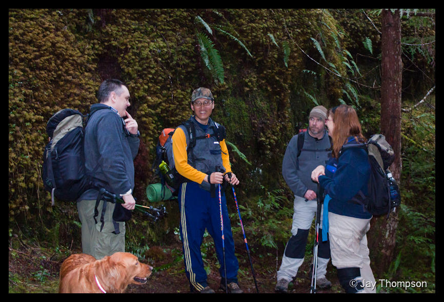
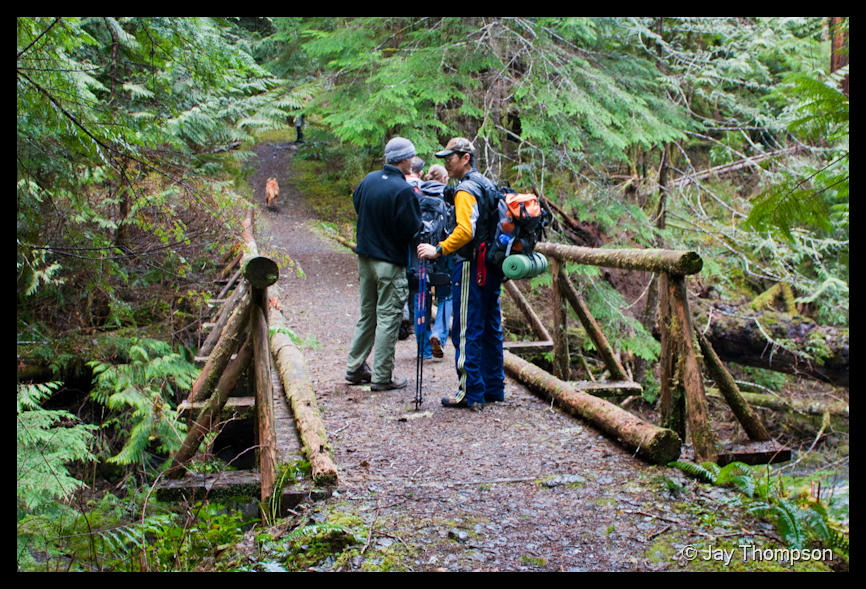
Inspired by Jim's trip report from the 22nd, two different groups of people I know were planning to hike the Lower Big Quilcene trail. Isaac, Kyle and Craig were in one group, Ron, Tess, Paul N and myself in the other. A third set of folks I invited at the last minute also showed up, Paul C and his hometown friend Sarah.The trip to the trailhead could have been better planned by all involved. We left Silverdale around 7:45 and quickly lost the way to the trailhead once we got on the forest roads. For some reason we decided to take the side road that leads to the Tunnel Creek Trailhead. We followed that Road for about 4 miles and I am sad to report that the way to Tunnel Creek is blocked by a large rock slide about 4 miles in. It is going to take some big machinery, a big stick of dynamite, or both to clear it. Luckily it didn't appear to have damaged the road other than blocking it. I did not get a picture of it.
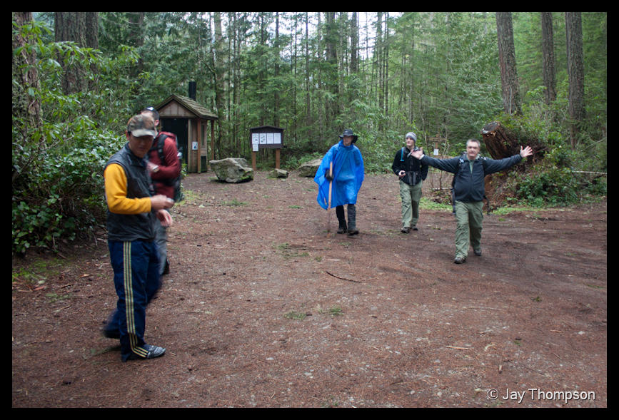
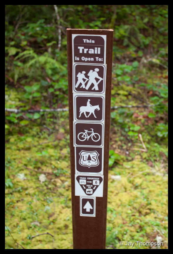
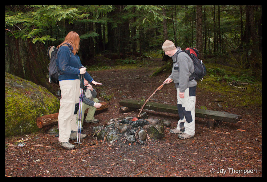
I was riding with Paul N, Ron and Tess. Paul C and Sarah were following behind us. I'm not exactly sure where Isaac's group was. We lost them somewhere on the highway. When we finally made it to the trailhead after being lost on the backroads for 45 minutes or so, we were getting our packs on when I heard "hey Jay". I looked up the trailhead and Isaac and company were just starting. Turns out they got lost looking for the trail also and were only 5 minutes ahead of us on the road. If you are ever looking for the Lower Big Quilcene Trailhead, Just stay on the main Forest Rd 27. You will see the sign for the trail. We were just trying too hard and didn't drive far enough in. Really silly since it is only about 5 miles to the trail from 101.
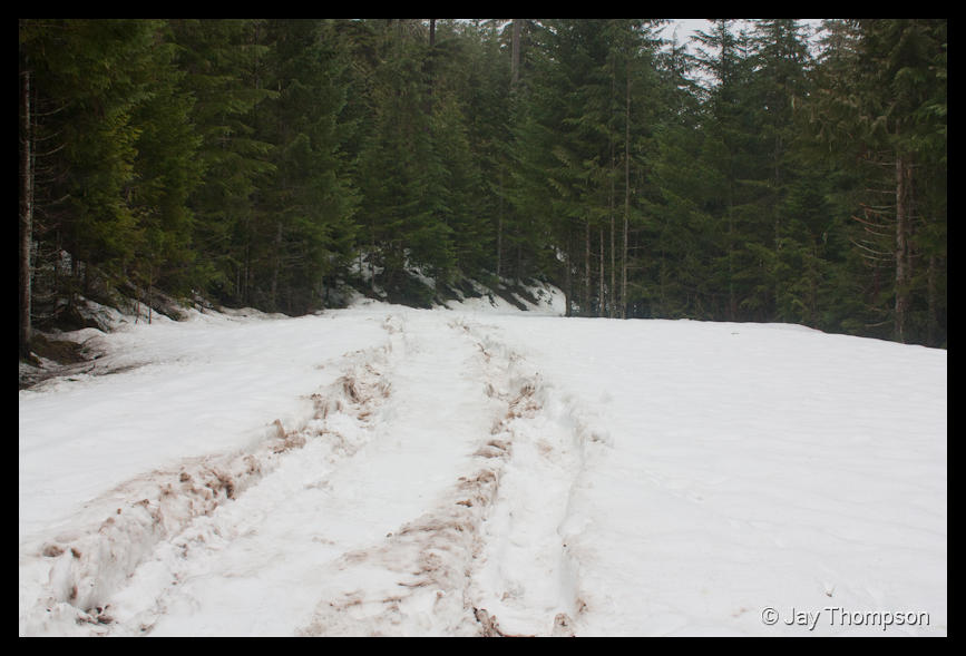
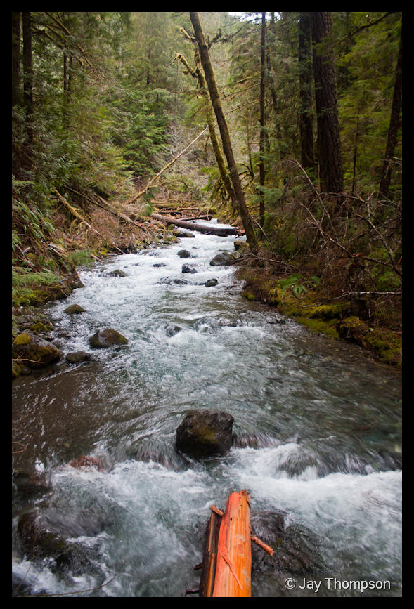
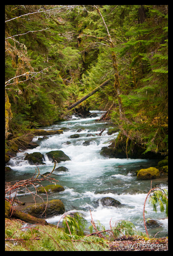
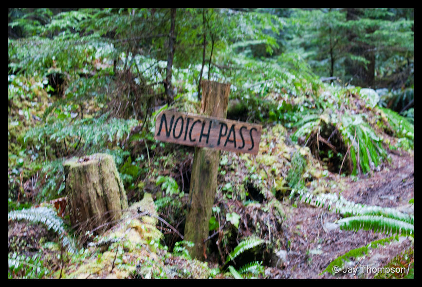
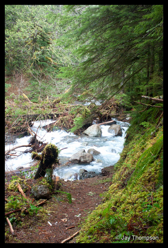
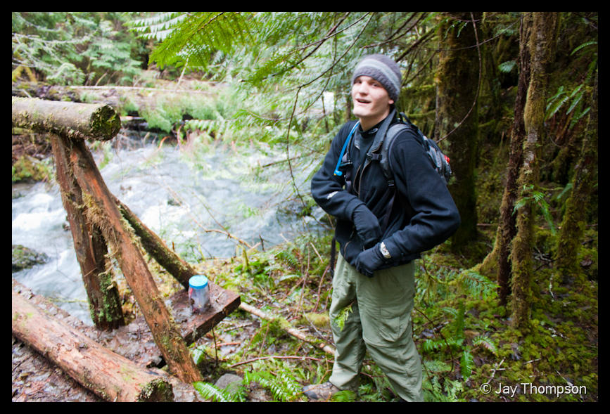
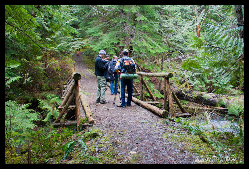
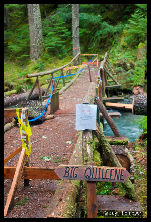
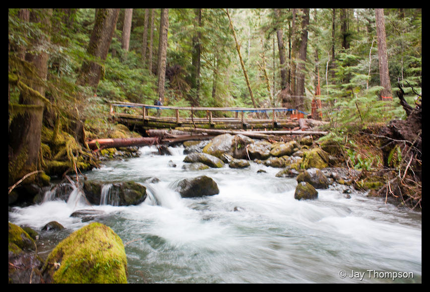
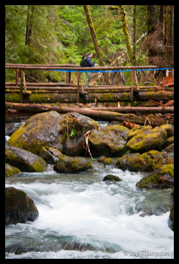
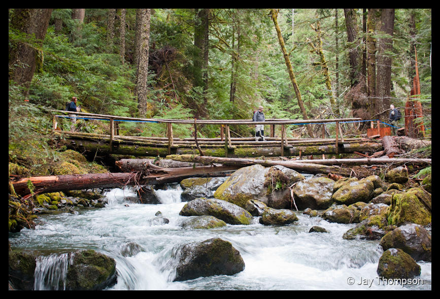
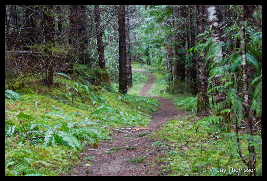
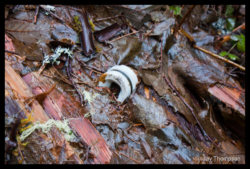
So after introductions, we finally got on the trail and started hiking. It was a pleasant day. There were probably 10 or 15 blowdowns the whole length of the trail. There is one big washout right at the intersection with the notch pass trail. Someone (Jim and company?) had put ribbons along a re-route. I was pretty amazed at how many trees I saw that have fallen over or into the river in recent storms. One of the major bridges that mountain bikers and stock animals use is about to collapse, so it is closed to them but hikers can still use it as long as they stay to one side. I really don't have much more to report than that, other than the fact that despite our warm weather recently, there was still over a foot of snow at the upper end of the trail. The end of the trail is actually the parking lot for the Upper Big Quilcene trail that goes up to Marmot Pass. Someone had actually driven all the way to the parking lot but I could tell by looking at their tracks that they were dragging bottom. Lucky they didn't get stuck.
Click each image for a larger version.