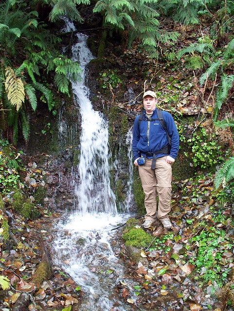
I joined Barney from the PWC on a hike that was supposed to go up Green Mountain but we ended up going up Gold Mountain instead. I failed to take a lot of pictures on this trip but I did get some of us near the waterfall. Top of Gold Mountain is hard to locate as there are multiple little false summits and lots of television station antennas on the top. We went up a long way utilizing the gm 6 road then a spur that turns into a creek which goes by an old mine shaft. this is mostly a dirt road walk.
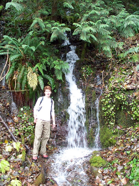
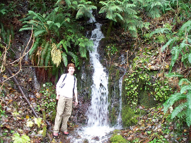

I would definitely like to find more information about the gold mountain/tin mine trails and service roads in this area. I managed to get myself quite lost on some of the back roads after climbing Gold Mountain and attempting to form some sort of loop to take us back another way to the trail head. None of the trails were marked, which made this very frustrating, since we took a picture of the map at the trail head, but had no way of pinpointing our location on it. Starting out, we went straight up the mountain keeping right the whole way until when we reached the “top.” After that we went left, passed the waterfall and mine that you have pictures of, and then went left on the trail below the service road (GM-6?) after some beaver ponds. Shortly after crossing the wildcat trail, it started getting dark, so we improvised our way back to the main road with a compass and listening for traffic (went down Green Mt road, via a logging road). After that we took the long way back to the trail head on pavement. It feels like we went 15 miles, but no way to know for sure.
Yeah unfortunately, a lot of the Gold Mountain area is part of the Bremerton watershed and the main access to get up there is closed to visitors. Since this is the case, I don’t think they cater to hikers too much. If the city of Bremerton doesn’t want anyone up there at all, they need better signage for people coming up from the Gold Creek Trailhead. In all my visits up there, I’ve never seen any signs coming from that way to stay off the road. Only to stay out of the woods adjacent to the road. But you are right. Getting lost up there is not hard if you’ve never been up there before. I’ve also seen signs around Green Mountain vandalized and destroyed in the past so this could be what happened up there. Some of the roads have never had too good of signage. I would love to see an effort to make navigating the whole area easier to figure out.