Columbia River Gorge Adventures
May 16th and 17th 2009
Originally I was going to hike the Chelan Lakeshore trail again, but after looking at the logistics of getting over there to catch the ferry (had to get up too dang early!) I decided on doing some hikes down by the Columbia River Gorge instead. My first hike was Beacon Rock. 750' gain 1.6 miles.
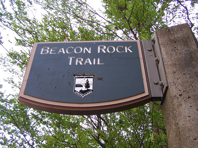


This was an interesting place I had never been to before. Looks like it has some climbing routes on it too. My next stop was on the Oregon side to set up camp at Memaloose State Park.
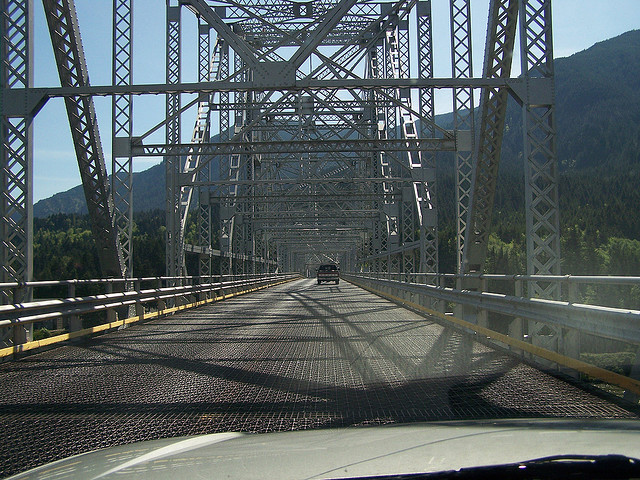

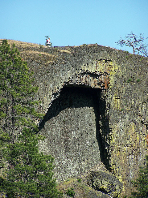
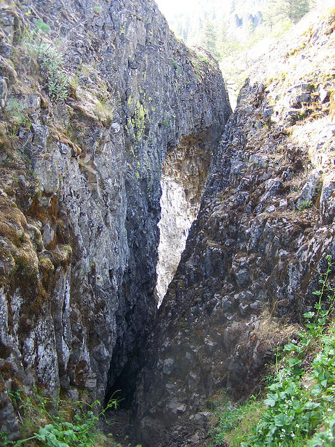
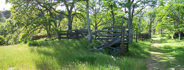
I'll try to never stay at Memaloose again, the train went by about every 30 minutes and I barely got any sleep. Anyways, after setting up camp I drove across the bridge at the Dalles and drove over to Horsethief Butte. 150' gain 1.5 miles.

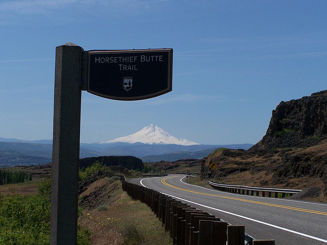
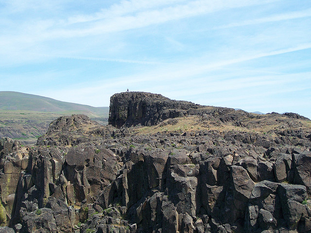

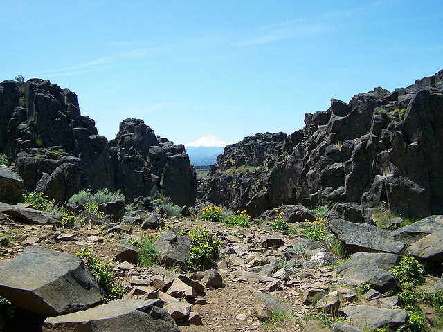
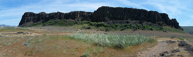
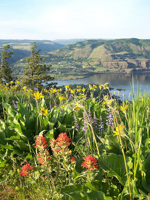
This was a neat area in the drier eastern WA side. Again looks like there are some good rocks to climb on. I took the easier hiker paths. : ) After Horsethief, I set out to find a place called Catherine Creek. There are a couple of ways to see Catherine Creek. After parking you can cross the street and walk the paved loop path, which I did, 70' gain 1.5 miles, or you can stay on the side you parked at and climb the hill there for a loop that is supposed to be 3.5 miles and 350' gain.
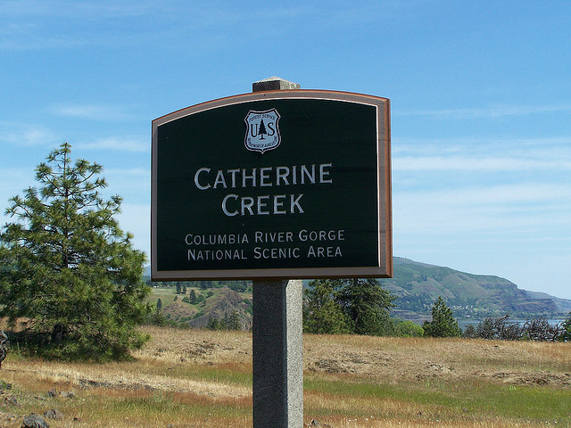
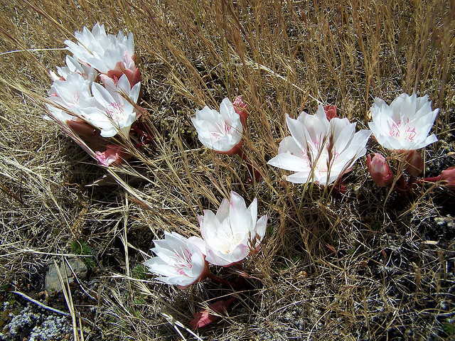

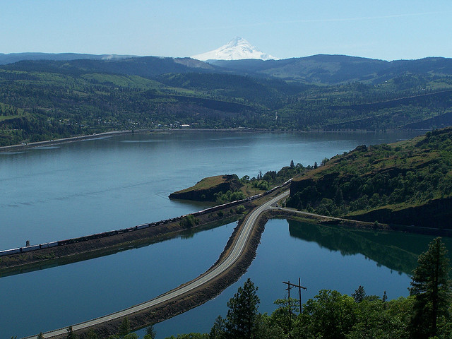

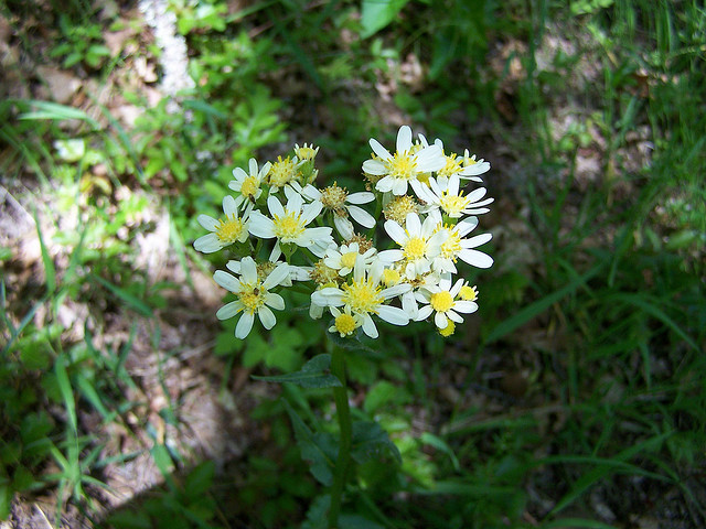


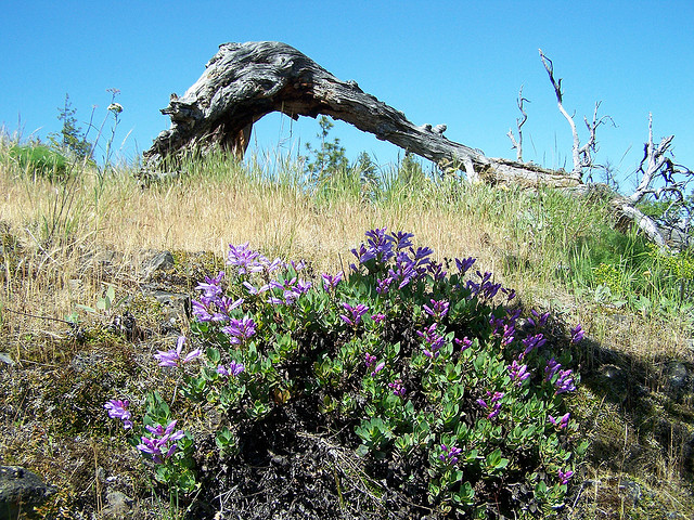
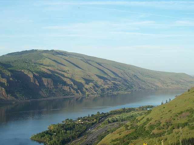
I did this loop too but I took a wrong turn somewhere and ended up doing a much longer loop also that I'm guessing was about 7 miles and much higher. I recorded about 1300' of gain on this loop. Catherine Creek was very beautiful and full of flowers (and poison oak). I intended to go to the Coyote Wall and do an 8 mile loop there but after getting a little turned around at Catherine Creek and doing more miles there than I wanted to, I decided to head back towards camp. After crossing over the Hood River Bridge that crosses over the Columbia, I headed up old Hwy 30 towards Rowena Crest.
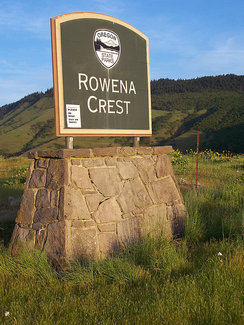
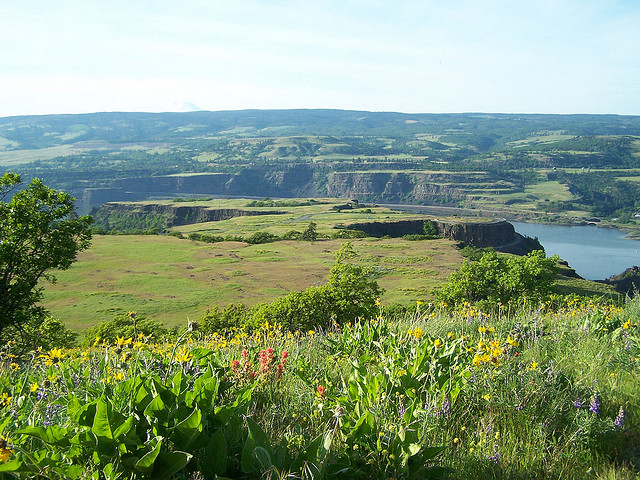
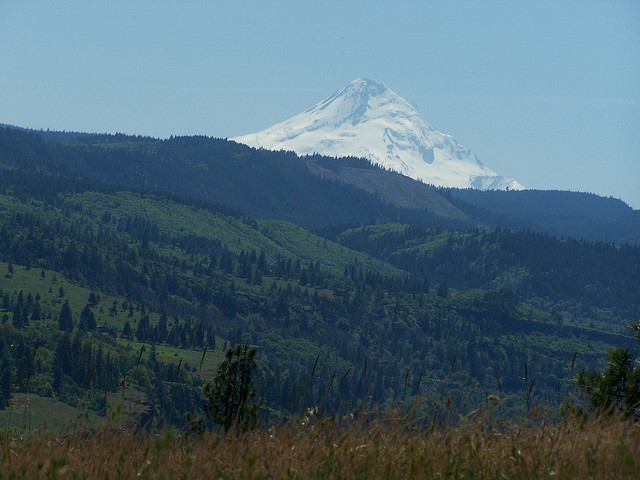
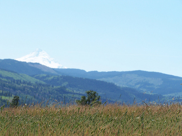
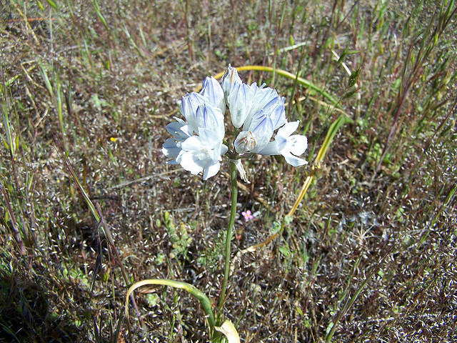
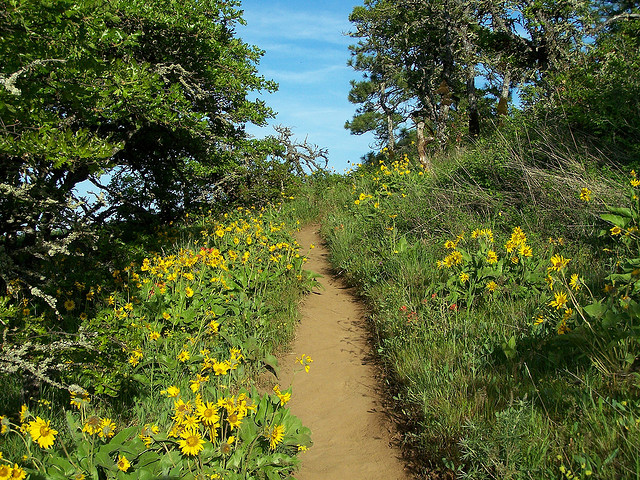
I had heard of this place called Tom McCall Point but I wasn't sure exactly where it was. I was pleased to find it here at Rowena. The sign said it was a 1200' gain and 3.5 miles. No problem! I hiked up some of the most beautiful country my eyes have laid eyes on. I have never seen so many different flowers my whole life, and the views of Hood and Adams were incredible.

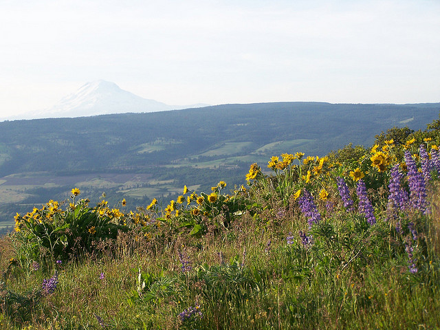
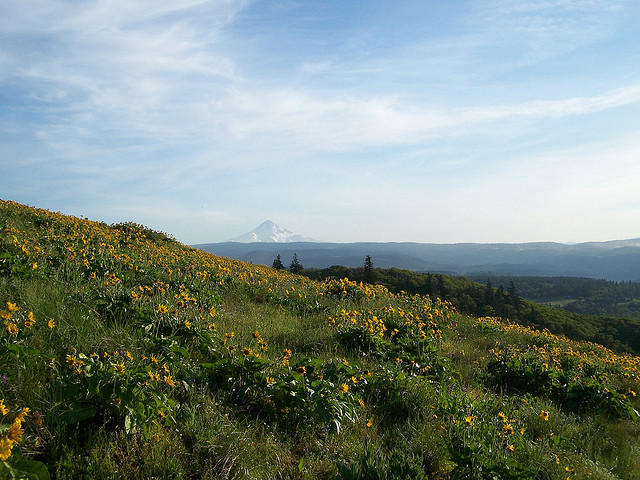
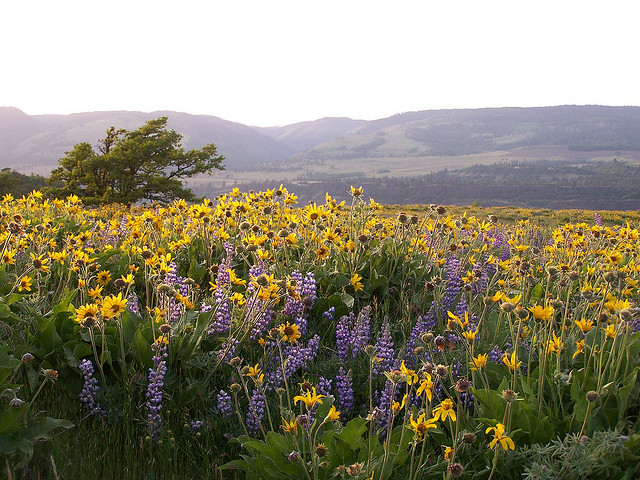
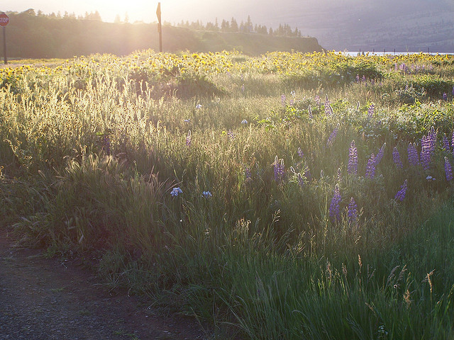
Again like Catherine Creek, I highly recommend this place while the flowers are in bloom. I decided to head back to camp after Tom McCall. The sun was just starting to set when I left.

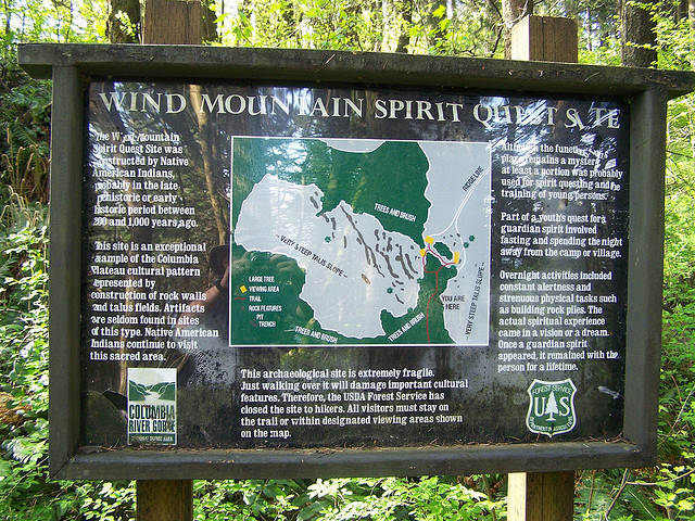
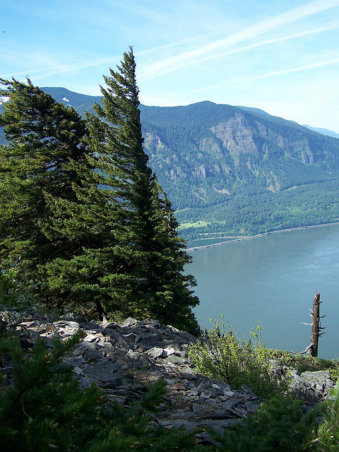
The next day, after cooking some breakfast, I headed out to hike up Wind Mountain 3 miles 1200' gain.
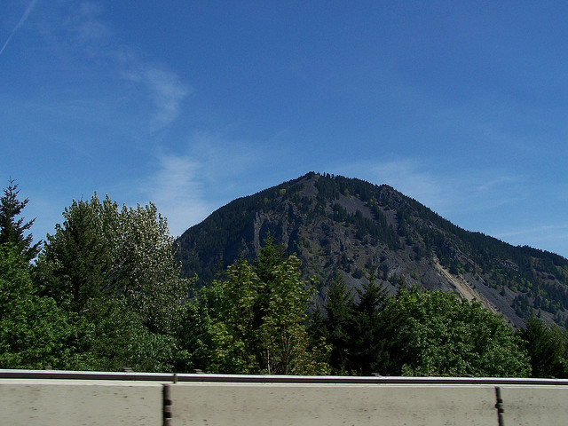


Click here for a picture of Wind Mountain from Dog Mountain.
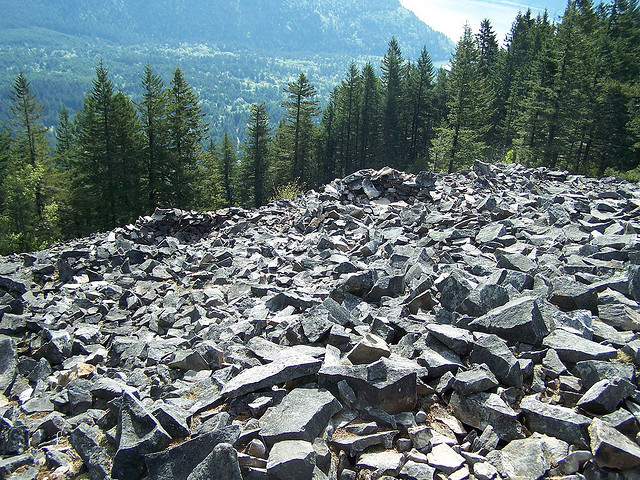
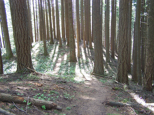
This was a boring mostly viewless and steep hike. It was interesting at the top however as it was used in the past by Native Americans for their spirit or vision quest. The top is comprised of talus and there were these little depressions that were created during the spirit quest. So I intended to hike Dog Mountain or perhaps Hamilton Mountain after Wind Mountain but due to my lack of sleep and almost 4000' of vertical the day before, (or maybe it was all the beer) I decided to call it a day and head home. Stats for the weekend, around 5000' vertical and about 20 miles or so. The pictures really do not do justice to these areas. I have some video I will post it once I'm done editing it.
